Tulsa in Tulsa County, Oklahoma — The American South (West South Central)
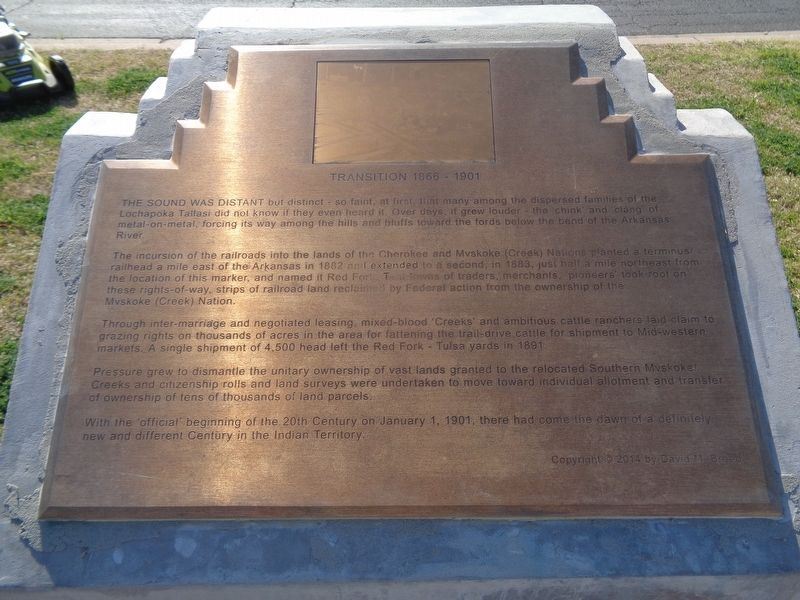
Transition 1866-1901
The incursion of the railroads into the lands of the Cherokee and Mvskoke (Creek) Nations planted a terminus railhead a mile east of the Arkansas in 1882 and extended to a second, in 1883, just half a mile northeast from the location of this marker, and named it Red Fork. Tent towns of traders, merchants, pioneers took root on these rights-of-way, strips of railroad land reclaimed by Federal action from the ownership of the Mvskoke (Creek) Nation.
Through inter-marriage and negotiated leasing, mixed-blood 'Creeks' and ambitious cattle ranchers laid claim to grazing rights on thousands of acres in the area for fattening the trail drive cattle for shipment to Mid-western markets. A single shipment of 4,500 head left the Red Fork - Tulsa yards in 1891.
Pressure grew to dismantle the unitary ownership of vast lands granted to the relocated Southern Mvskoke Creeks and citizenship rolls and land surveys were undertaken to move toward individual allotment and transfer of ownership of tens of thousands of land parcels.
With the 'official' beginning of the 20th Century on January 1, 1901, there had come the dawn of a definitely new and different Century in the Indian Territory.
Erected 2014 by Vision 2025.
Topics. This historical marker is listed in these topic lists: Industry & Commerce • Native Americans • Railroads & Streetcars. A significant historical date for this entry is January 1, 1901.
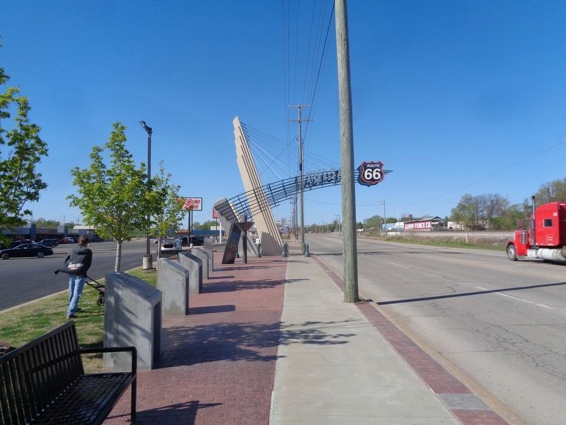
Location. 36° 6.123′ N, 96° 1.592′ W. Marker is in Tulsa, Oklahoma, in Tulsa County. Marker is on Southwest Boulevard near West 43rd Place, on the right when traveling north. Located in front of the Crystal City Shopping Center. Touch for map. Marker is at or near this postal address: 4247 Southwest Blvd, Tulsa OK 74107, United States of America. Touch for directions.
Other nearby markers. At least 8 other markers are within walking distance of this marker. Settlement of the Nations 1836-1866 (here, next to this marker); A New Century 1901-1926 (here, next to this marker); Crystal City (a few steps from this marker); The Motoring Public 1926 (a few steps from this marker); First Oil Well in Tulsa County (approx. ¼ mile away); Red Fork (approx. 0.3 miles away); Route 66 Historical Village (approx. 0.7 miles away); Clinton Heights (approx. 0.8 miles away). Touch for a list and map of all markers in Tulsa.
Credits. This page was last revised on April 30, 2021. It was originally submitted on April 30, 2021, by Jason Voigt of Glen Carbon, Illinois. This page has been viewed 164 times since then and 22 times this year. Photos: 1, 2. submitted on April 30, 2021, by Jason Voigt of Glen Carbon, Illinois.

