St. Marys in Pleasants County, West Virginia — The American South (Appalachia)
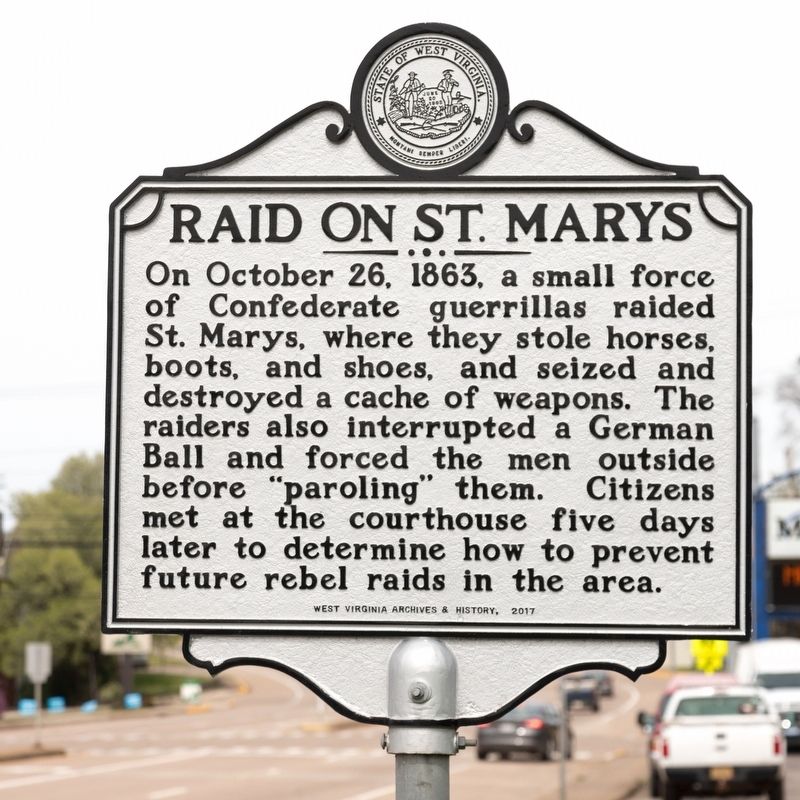
Raid on St. Marys
On October 26, 1863, a small force of Confederate guerrillas raided St. Marys, where they stole horses, boots, and shoes, and seized and destroyed a cache of weapons. The raiders also interrupted a German Ball and forced the men outside before “paroling” them. Citizens met at the courthouse five days later to determine how to prevent future rebel raids in the area.
Erected 2017 by West Virginia Archives & History.
Topics. This historical marker is listed in this topic list: War, US Civil. A significant historical date for this entry is October 26, 1863.
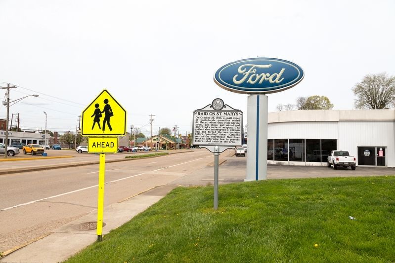
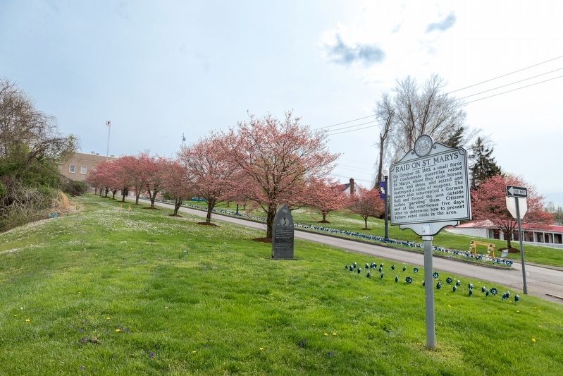
Location. 39° 23.37′ N, 81° 12.325′ W. Marker is in St. Marys, West Virginia, in Pleasants County. Marker is at the intersection of 3rd Street / South Pleasants Highway (West Virginia Route 2) and George Street, on the right when traveling north on 3rd Street / South Pleasants Highway. It is at the courthouse entrance. Touch for map. Marker is at or near this postal address: 308 3rd St, Saint Marys WV 26170, United States of America. Touch for directions.
Other nearby markers. At least 8 other markers are within walking distance of this marker. Vietnam War Memorial (a few steps from this marker); St. Marys (within shouting distance of this marker); Pleasants County Veterans Memorial (about 600 feet away, measured in a direct line); Veterans Memorial Park (about 600 feet away); The St. Mary's Oracle (about 600 feet away); Alexander H. Creel (approx. 0.2 miles away); George Washington (approx. 0.2 miles away); Short Route Bridge (Hi Carpenter Bridge) (approx. ¼ mile away). Touch for a list and map of all markers in St. Marys.
Also see . . . Raid on St. Marys Historical Marker. Clio- Your Guide to History website entry:
(Submitted on April 30, 2021.)
Credits. This page was last revised on January 20, 2022. It was originally submitted on April 30, 2021, by J. J. Prats of Powell, Ohio. This page has been viewed 251 times since then and 16 times this year. Photos: 1, 2, 3. submitted on April 30, 2021, by J. J. Prats of Powell, Ohio.


