Clifton in Greenlee County, Arizona — The American Mountains (Southwest)
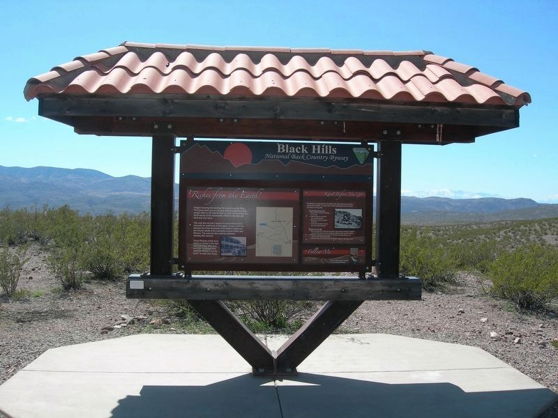
Black Hills National Back Country Byway
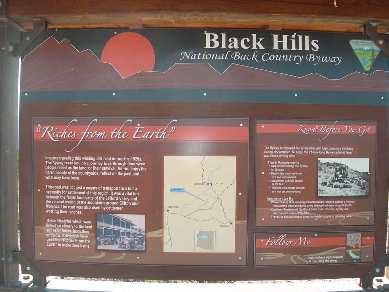
Imagine traveling this winding dirt road during the 1920s. The Byway takes you on a journey back through time when people relied on the land for their survival. As you enjoy the harsh beauty of the countryside, reflect on the past and what may have been.
This road was not just a means of transportation but a necessity for settlement of this region. It was a vital link between the fertile farmlands of the Saffold Valley and the mineral wealth of the mountains around Clifton and Morenci. The road was also used by cattlemen working their ranches.
These lifestyles which were so closely linked to the land still exist today. Both then and now, Arizonians have used the "Riches from the Earth" to make their living.
Know Before You Go
The Byway is unpaved but accessible with high-clearance vehicles during dry weather. To enjoy the 21-mile-long Byway, plan at least two hours driving time.
Travel requirements
• Speed limit along the Byway is 15 mpn
• High-clearance vehicles are recommended
• Maximum vehicle length is 20 feet
• Trailers and motor homes are not recommended
Words to Live By
• When driving this winding mountain road, always expect a vehicle around the next bend and yield the right-of-way to uphill traffic.
• Caution! Portions of the Black Hills Back Country Byway are narrow with steep drop-offs.
• Travelers should always carry an ample supply of drinking water.
Erected by U.S. Bureau of Land Management.
Topics. This historical marker is listed in this topic list: Roads & Vehicles.
Location. 33° 0.195′ N, 109° 17.183′ W. Marker is in Clifton, Arizona, in Greenlee County. Marker is at the intersection of Black Hills Back Country Byway and San Francisco River Road, on the right when traveling south on Black Hills Back Country Byway. Touch for map. Marker is in this post office area: Clifton AZ 85533, United States of America. Touch for directions.
Other nearby markers. At least 8 other markers are within 11 miles of this marker, measured as the crow flies. Jose (Joe) M. Subia Memorial Bridge (approx. 2.9 miles away); San Francisco River (approx. 3.2 miles away); Town of Clifton (approx. 3.6 miles away); Clifton Cliff Jail (approx. 3.7 miles away); Fermin Palicio Home (approx. 3.8 miles away); The Eagles' Hall (approx. 3.8 miles away); Phelps Dodge Hidalgo Smelter (approx. 3.8 miles away); Apache Grove (approx. 10.8 miles away). Touch for a list and map of all markers in Clifton.
Credits. This page was last revised on April 30, 2021. It was originally submitted on April 30, 2021, by Duane and Tracy Marsteller of Murfreesboro, Tennessee. This page has been viewed 168 times since then and 19 times this year. Photos: 1, 2. submitted on April 30, 2021, by Duane and Tracy Marsteller of Murfreesboro, Tennessee.

