Luverne in Crenshaw County, Alabama — The American South (East South Central)
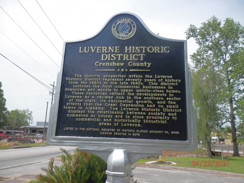
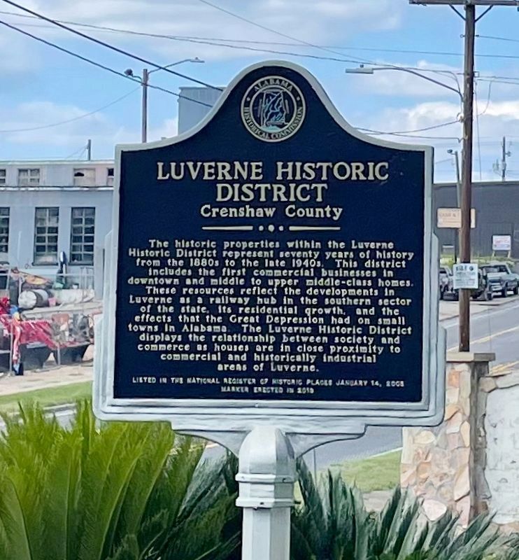
Luverne Historic District
Crenshaw County
Photographed by Susan Van Den Bosch, April 29, 2021
1. Luverne Historic District
Listed in the National Register of Historic Places January 14, 2005
Erected 2019 by Alabama Historical Commisssion.
Topics. This historical marker is listed in these topic lists: Industry & Commerce • Settlements & Settlers. A significant historical date for this entry is January 14, 2005.
Location. 31° 42.727′ N, 86° 15.819′ W. Marker is in Luverne, Alabama, in Crenshaw County. It is on U.S. 331 north of 9th Street, on the right when traveling north. Located at Douglas Park. Touch for map. Marker is in this post office
this page online

Regionally, this marker is in the American South, specifically in the Deep South, and in the Black Belt. Globally, it is in North America, a Gulf of Mexico state, the Western Hemisphere, the Western World, and the Anglosphere. Historically, it finds itself in what was once New Spain, the territory of the Mississippian Culture, one of the Confederate States of America, and the Antebellum South.
Other nearby markers. At least 8 other markers are within 6 miles of this marker, measured as the crow flies: Douglass House (about 400 feet away, measured in a direct line); St. John Missionary Baptist Church (approx. ¼ mile away); The Bricken Building (approx. ¼ mile away); Crenshaw County Courthouse (approx. 0.3 miles away); Crenshaw County Training School (approx. 0.6 miles away); Rutledge Primitive Baptist Church (approx. 2½ miles away); Rutledge (approx. 3 miles away); New Providence Primitive Baptist Church Site (approx. 5.6 miles away). Touch for a list and map of all markers in Luverne.
Photographed by Mark Hilton, September 7, 2025
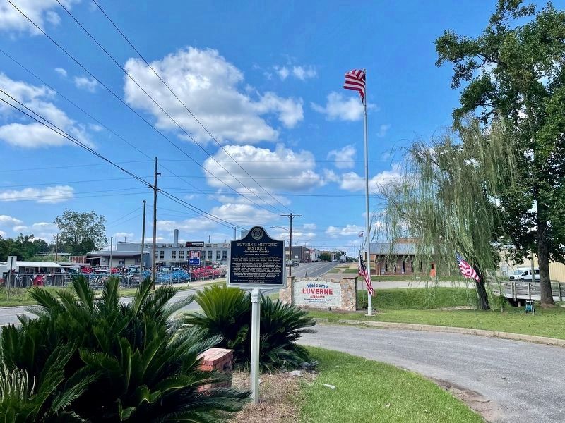
2. Luverne Historic District Marker looking north on US-331.
Photographed by Mark Hilton, September 7, 2025
3. Luverne Historic District Marker
Credits. This page was last revised on September 7, 2025. It was originally submitted on May 3, 2021, by Susan Van Den Bosch of Almond, Wisconsin. This page has been viewed 831 times since then and 67 times this year. Photos: 1. submitted on May 3, 2021, by Susan Van Den Bosch of Almond, Wisconsin. 2, 3. submitted on September 7, 2025, by Mark Hilton of Montgomery, Alabama. • Mark Hilton was the editor who published this page.
