Marble Hill in Manhattan in New York County, New York — The American Northeast (Mid-Atlantic)
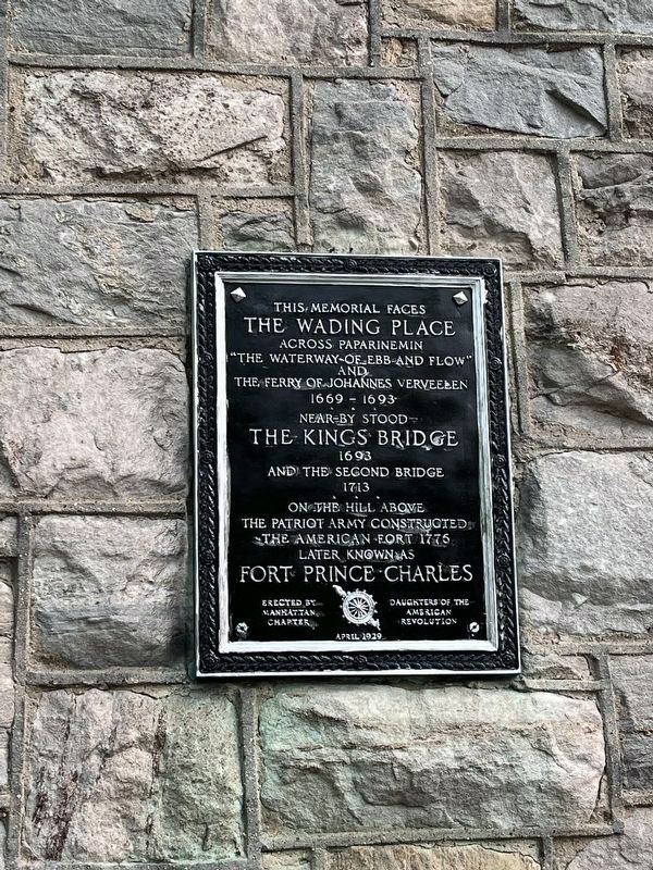
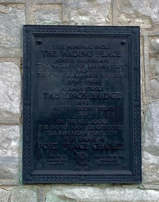
The Wading Place / Kings Bridge / Fort Prince Charles

Photographed By Devry Becker Jones (CC0), June 16, 2023
1. The Wading Place / Kings Bridge / Fort Prince Charles Marker
The Wading Place
across Paparinemin
"The Waterway of Ebb and Flow"
and
the ferry of Johannes Verveelen
1669-1693
•
Near-by stood
The Kings Bridge
1693
and the second bridge
1713
•
On the hill above
the Patriot Army constucted
the American fort 1776
later known as
Fort Prince Charles
Erected 1929 by Daughters of the American Revolution Manhattan Chapter.
Topics and series. This historical marker is listed in these topic lists: Bridges & Viaducts • Forts and Castles • Roads & Vehicles • War, US Revolutionary. In addition, it is included in the Daughters of the American Revolution series list.
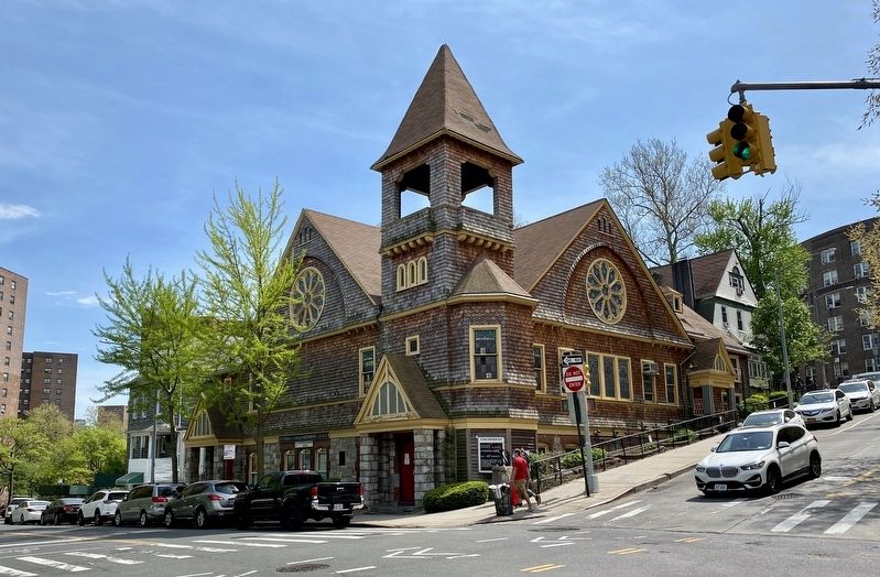
Location. 40° 52.624′ N, 73° 54.534′ W. Marker is in Manhattan, New York, in New York County. It is in Marble Hill. Marker is at the intersection of West 228th Street and Marble Hill Avenue, on the left when traveling west on West 228th Street. Touch for map. Marker is at or near this postal address: 146 West 228th Street, Bronx NY 10463, United States of America. Touch for directions.
Other nearby markers. At least 8 other markers are within walking distance of this marker. Marble Hill Playground (about 400 feet away, measured in a direct line); Original King's Bridge (about 400 feet away); Carolina Baptist Church (about 600 feet away); Fort Number Four (approx. 0.6 miles away); Fort Independence Park (approx. ¾ mile away); Shorakkopoch (approx. 0.8 miles away); The Hessian Military Hut (approx. one mile away); The Military Hut (approx. one mile away). Touch for a list and map of all markers in Manhattan.
Also see . . .
1. Spuyten Duyvil Creek (Wikipedia). "During the 17th century, the only mode of transportation across the Harlem River was by ferry from the east end of 125th Street. The ferry was established in 1667 and operated by Johannes Verveelen, a local landowner. Many settlers circumvented the toll for the ferry by crossing the creek from northern Marble Hill to modern Kingsbridge, Bronx, a point where it was feasible to wade or swim through the waters. This area was known as the "wading place", and had previously been used by Native Americans...." (Submitted on May 4, 2021.)
2. Fort Prince Charles (Fortwiki). "Fort Prince Charles (1776-1779) - A Patriot Revolutionary War fortification established as Fort No. 9 in 1776 in New York
City, New York County, New York. Captured by the British in 1776 and held by them until 1779. Renamed Fort Prince Charles after British Prince Charles in 1777. Destroyed and abandoned by the British in 1779. Also known as Charles Redoubt." (Submitted on May 4, 2021.)
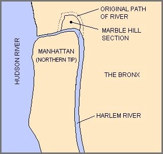
3. Marble Hill, Manhattan (Wikipedia). "Politically a part of New York County, Marble Hill became an island in the Harlem River when it was separated from the island of Manhattan by the construction of the Harlem Ship Canal in 1895. In 1914, the Harlem River on the north side of Marble Hill was fully diverted to the Canal, with landfill connecting the neighborhood to the Bronx." (Submitted on May 4, 2021.)
Credits. This page was last revised on June 19, 2023. It was originally submitted on May 4, 2021, by Andrew Ruppenstein of Lamorinda, California. This page has been viewed 456 times since then and 101 times this year. Photos: 1. submitted on June 19, 2023, by Devry Becker Jones of Washington, District of Columbia. 2, 3, 4. submitted on May 4, 2021, by Andrew Ruppenstein of Lamorinda, California.


