Central Oklahoma City in Oklahoma County, Oklahoma — The American South (West South Central)
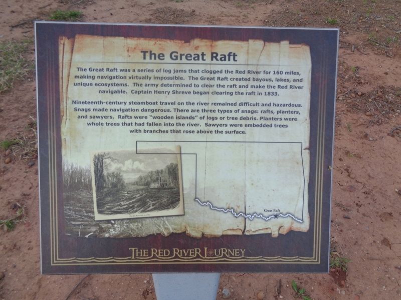
The Great Raft
The Red River Journey
Nineteenth-century steamboat travel on the river remained difficult and hazardous. Snags made navigation dangerous. There are three types of snags: rafts, planters, and sawyers. Rafts were "wooden islands" of logs or tree debris. Planters were whole trees that had fallen into the river. Sawyers were embedded trees with branches that rose above the surface.
Topics. This historical marker is listed in this topic list: Waterways & Vessels. A significant historical year for this entry is 1833.
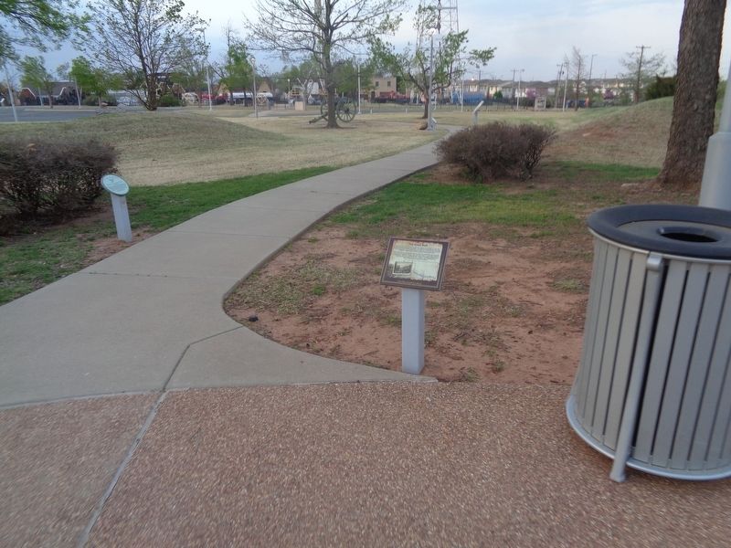
Location. 35° 29.622′ N, 97° 29.833′ W. Marker is in Oklahoma City, Oklahoma, in Oklahoma County. It is in Central Oklahoma City. Marker can be reached from Nazih Zuhdi Drive west of North Laird Avenue. Marker is part of the Red River Journey pathway, which is on the grounds of the Oklahoma History Center. Touch for map. Marker is at or near this postal address: 800 Nazih Zuhdi Drive, Oklahoma City OK 73105, United States of America. Touch for directions.
Other nearby markers. At least 8 other markers are within walking distance of this marker. Kiamichi River (a few steps from this marker); Jones Plantation (a few steps from this marker); The Meinders Foundation Heritage Gardens (a few steps from this marker); Choctaw Nation (a few steps from this marker); Fort Towson (a few steps from this marker); Miller County Controversy (a few steps from this marker); Chahte Tamaha (a few steps from this marker); Steamboat Heroine (a few steps from this marker). Touch for a list and map of all markers in Oklahoma City.
Credits. This page was last revised on February 16, 2023. It was originally submitted on May 5, 2021, by Jason Voigt of Glen Carbon, Illinois. This page has been viewed 174 times since then and 27 times this year. Photos: 1, 2. submitted on May 6, 2021, by Jason Voigt of Glen Carbon, Illinois.

