Piqua in Miami County, Ohio — The American Midwest (Great Lakes)
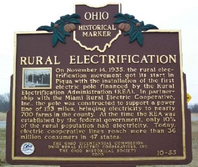
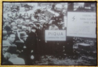
Rural Electrification
Erected 2003 by Ohio Bicentennial Commission, Ohio Rural Rlectric Cooperatives, Inc., and The Ohio Historical Society. (Marker Number 10-55.)
Topics and series. This historical marker is listed in these topic lists: Charity & Public Work • Communications • Industry & Commerce. In addition, it is included in the Ohio Historical Society / The Ohio History Connection, and the Rural Electrification 💡 series lists. A significant historical month for this entry is November 1736.
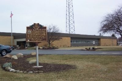
Location. 40° 9.003′ N, 84° 12.156′ W. Marker is in Piqua, Ohio, in Miami County. Marker is on U.S. 36, on the right when traveling east. Marker is in front of the Pioneer Electric Cooperative. Touch for map. Marker is at or near this postal address: 344 W US Route 36, Piqua OH 45356, United States of America. Touch for directions.
Other nearby markers. At least 8 other markers are within 2 miles of this marker, measured as the crow flies. J. Scott Garbry (approx. ¼ mile away); Vice Admiral Stephen Clegg Rowan (approx. 1.8 miles away); The Village of Huntersville (approx. 1.8 miles away); Randolph Settlement (approx. 1.8 miles away); Lock Nine (approx. 1.9 miles away); Lock Nine Riverfront Park (approx. 1.9 miles away); The 1913 Flood (approx. 1.9 miles away); Capt. Don Gentile (approx. 1.9 miles away). Touch for a list and map of all markers in Piqua.
Credits. This page was last revised on January 21, 2020. It was originally submitted on March 23, 2009, by William Fischer, Jr. of Scranton, Pennsylvania. This page has been viewed 1,335 times since then and 23 times this year. Photos: 1, 2, 3. submitted on March 23, 2009, by William Fischer, Jr. of Scranton, Pennsylvania. • Kevin W. was the editor who published this page.


