Penn South Playground
.6 acre
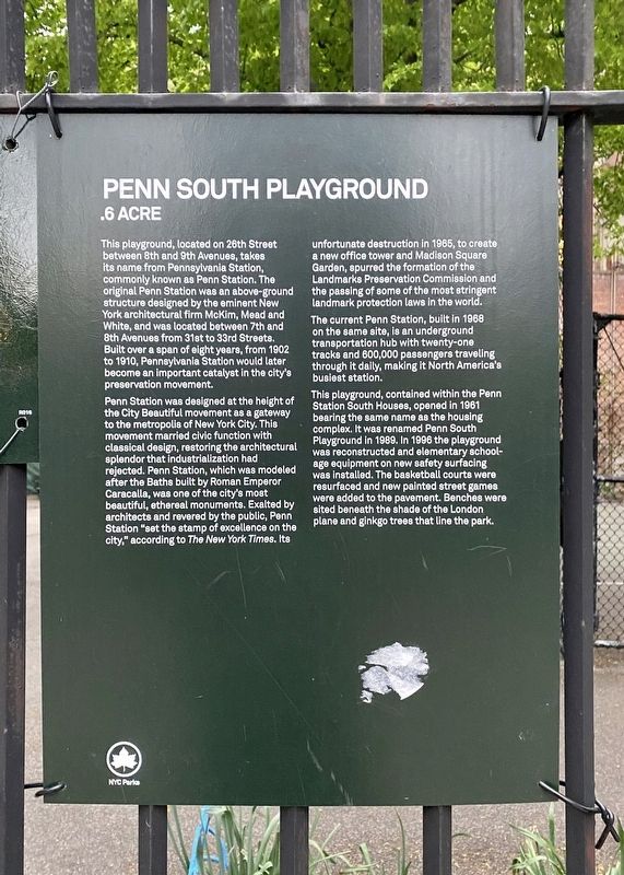
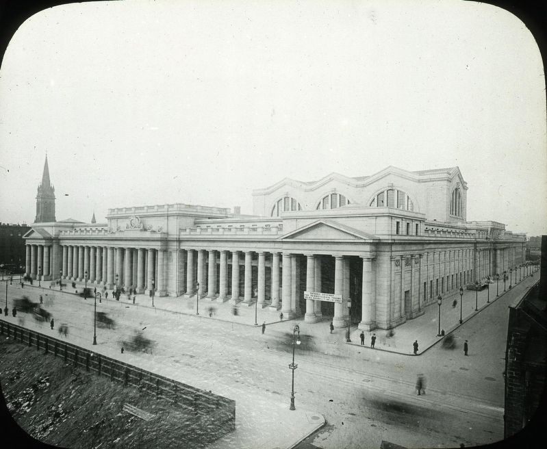
Penn Station was designed at the height of the City Beautiful movement as a gateway to the metropolis of New York City. This movement married civic function with classical design, restoring the architectural splendor that industrialization had rejected. Penn Station, which was modeled after the Baths built by Roman Emperor Caracalla, was one of the city's most beautiful, ethereal monuments. Exalted by architects and revered by the public, Penn Station "set the stamp of excellence on the city,” according to The New York Times. Its unfortunate destruction in 1965, to create a new office tower and Madison
this page online
The current Penn Station, built in 1968 on the same site, is an underground transportation hub with twenty-one tracks and 600,000 passengers traveling through it daily, making it North America's busiest station.
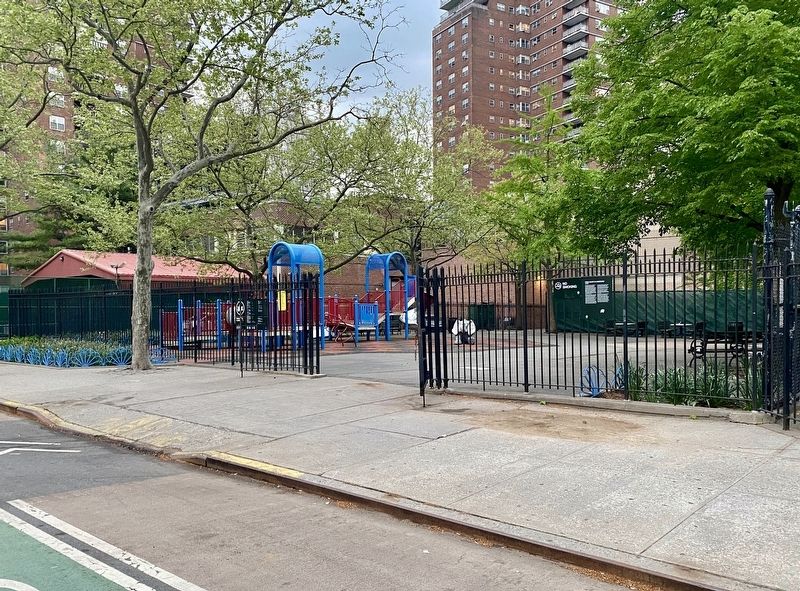
This playground, contained within the Penn
Station South Houses, opened in 1961
bearing the same name as the housing
complex. It was renamed Penn South
Playground in 1989. In 1996 the playground
was reconstructed and elementary school-
age equipment on new safety surfacing
was installed. The basketball courts were
resurfaced and new painted street games
were added to the pavement. Benches were
sited beneath the shade of the London
plane and ginkgo trees that line the park.
Erected by NYC Parks.
Topics and series. This historical marker is listed in these topic lists: Parks & Recreational Areas • Railroads & Streetcars. In addition, it is included in the NYC Parks series list.
Location. 40° 44.862′ N,

Regionally, this marker is in New York City. It is also in the American Northeast, in the Mid-Atlantic, and on the Eastern Seaboard. Globally, it is in the North Atlantic Region, North America, the Western Hemisphere, the Western World, and the Anglosphere. Historically, it finds itself in what was once New Netherland and also one of the original Thirteen Colonies.
Other nearby markers. At least 8 other markers are within walking distance of this marker: Church of Saint Eleftherios (about 500 feet away, measured in a direct line); Church of the Holy Apostles (about 600 feet away); Bayard Rustin (1912-1987) (about 700 feet away); Chelsea WW I Memorial (about 700 feet away); Chelsea Doughboy Statue (about 700 feet away); Lamartine Place Historic District (approx. 0.2 miles away); P.O. David Willis Basketball Court (approx.
Also see . . .
1. Pennsylvania Station (New York Preservation Archive Project). "The demolition of McKim, Mead & White’s Pennsylvania Station, amid public outcry, is popularly regarded as the birth of the modern preservation movement in New York City and the impetus for the Landmarks Law." (Submitted on May 10, 2021.)
2. Pennsylvania Station (1910–1963) (Wikipedia). "Pennsylvania Station was a historic railroad station in New York City, named for the Pennsylvania Railroad (PRR), its builder and original tenant. The station occupied an 8-acre (3.2 ha) plot bounded by Seventh and Eighth Avenues and 31st and 33rd Streets in Midtown Manhattan. As the terminal shared its name with several stations in other cities, it was sometimes called New York Pennsylvania Station, or Penn Station for short." (Submitted on May 10, 2021.)
Credits. This page was last revised on January 31, 2023. It was originally submitted on May 10, 2021, by Andrew Ruppenstein of Lamorinda, California. This page has been viewed 344 times since then and 44 times this year. Photos: 1, 2, 3. submitted on May 10, 2021, by Andrew Ruppenstein of Lamorinda, California.
