Near London in Laurel County, Kentucky — The American South (East South Central)
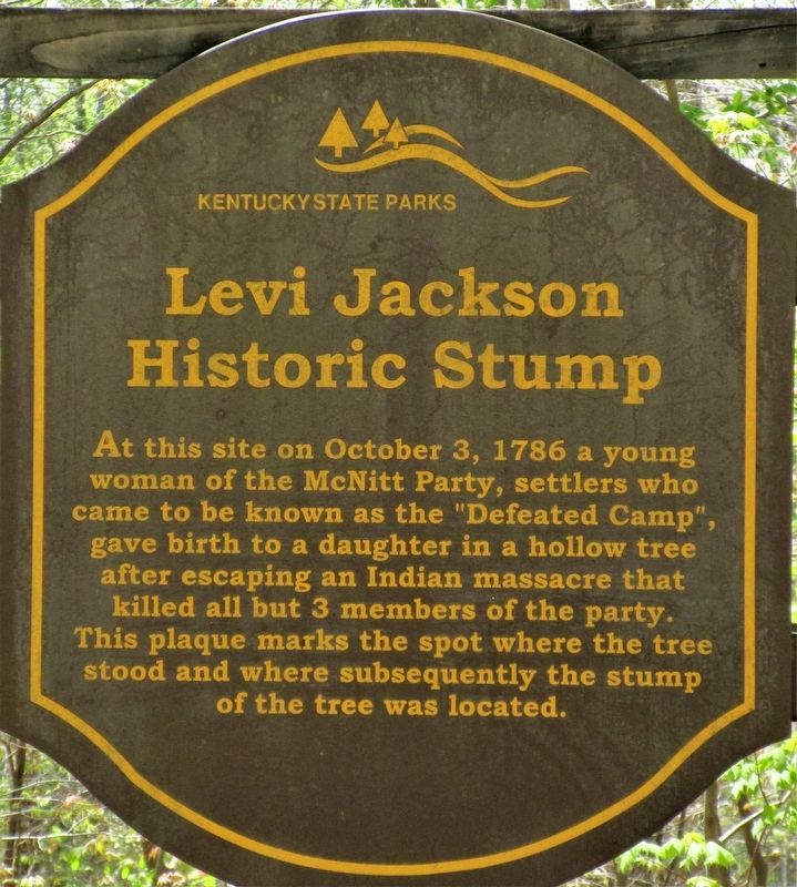
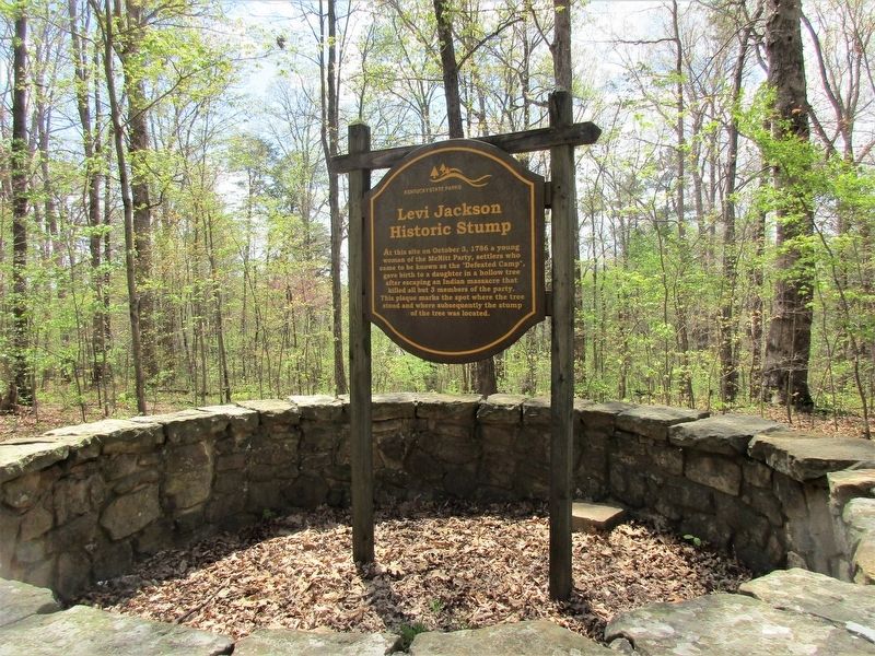
Levi Jackson Historic Stump
McNitt Massacre
— On Boone’s Trace —
Erected 2016 by Kentucky State Parks The Friends of Boone Trace, Inc.
Topics. This historical marker is listed in these topic lists: Disasters • Natural Features • Settlements & Settlers.
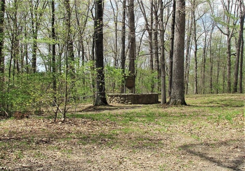
Location. 37° 4.979′ N, 84° 3.168′ W. Marker is near London, Kentucky, in Laurel County. Marker can be reached from Group Campground Road near Levi Jackson Mill Rd (Kentucky Route 1006). marker is in Levi Jackson State Park, west of the playground, in the Group Camping Area off Group Campground Road at Levi Jackson Mill Rd. Touch for map. Marker is at or near this postal address: 998 Levi Jackson Mill Rd, London KY 40744, United States of America. Touch for directions.
Other nearby markers. At least 8 other markers are within walking distance of this marker. Daniel Boone's Trail (about 400 feet away, measured in a direct line); Defeated Camp Burial Ground (about 400 feet away); McNitt's Defeat (about 400 feet away); Where did Millstones Come From? (about 800 feet away); Dressing a Millstone (approx. 0.2 miles away); Millstones Through The Ages (approx. 0.2 miles away); "The people went and gathered it and ground it in mills." (approx. 0.2 miles away); Laurel County (approx. 0.2 miles away). Touch for a list and map of all markers in London.
Credits. This page was last revised on May 11, 2021. It was originally submitted on May 10, 2021, by Rev. Ronald Irick of West Liberty, Ohio. This page has been viewed 510 times since then and 66 times this year. Photos: 1, 2, 3, 4. submitted on May 10, 2021, by Rev. Ronald Irick of West Liberty, Ohio. • Bill Pfingsten was the editor who published this page.


