Near Independence in Defiance County, Ohio — The American Midwest (Great Lakes)
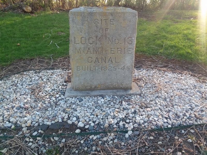
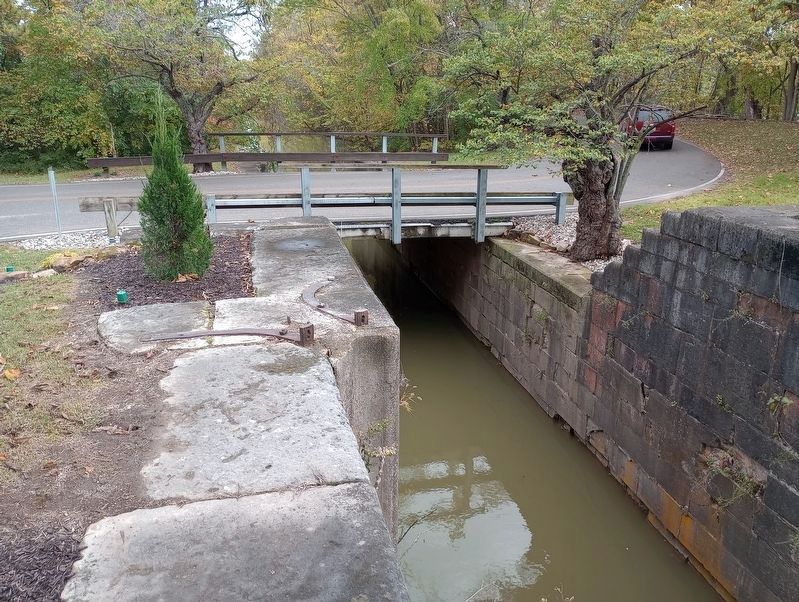
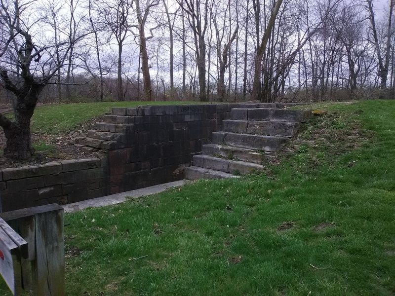
Site of Lock No. 13
Topics and series. This historical marker is listed in this topic list: Waterways & Vessels. In addition, it is included in the The Miami & Erie Canal series list.
Location. 41° 17.583′ N, 84° 17.048′ W. Marker is near Independence, Ohio, in Defiance County. Marker is on Ohio Route 424, on the right when traveling east. Touch for map. Marker is in this post office area: Defiance OH 43512, United States of America. Touch for directions.
Other nearby markers. At least 8 other markers are within 2 miles of this marker, measured as the crow flies. Two Canals (within shouting distance of this marker); Lock No. 13 & Independence Dam / Two Canals (within shouting distance of this marker); You Are On The Buckeye Trail (approx. ¼ mile away); 70 Vet Survivors of C.C.C. Memorial (approx. 0.3 miles away); Kentucky & Ohio Soldiers Memorial (approx. 1.1 miles away); Winchester's Camp No. 3/Fort Starvation / The Old Kentucky Burial Grounds (approx. 1.1 miles away); Fort Starvation (approx. 1.1 miles away); Site Of Mamie - Bessie Nagel Farm (approx. 2.1 miles away). Touch for a list and map of all markers in Independence.
Credits. This page was last revised on October 25, 2023. It was originally submitted on May 10, 2021, by Craig Doda of Napoleon, Ohio. This page has been viewed 105 times since then and 14 times this year. Photos: 1. submitted on May 10, 2021, by Craig Doda of Napoleon, Ohio. 2, 3. submitted on October 13, 2023, by Craig Doda of Napoleon, Ohio. 4. submitted on May 10, 2021, by Craig Doda of Napoleon, Ohio. • Bill Pfingsten was the editor who published this page.


