Clarksville in Montgomery County, Tennessee — The American South (East South Central)
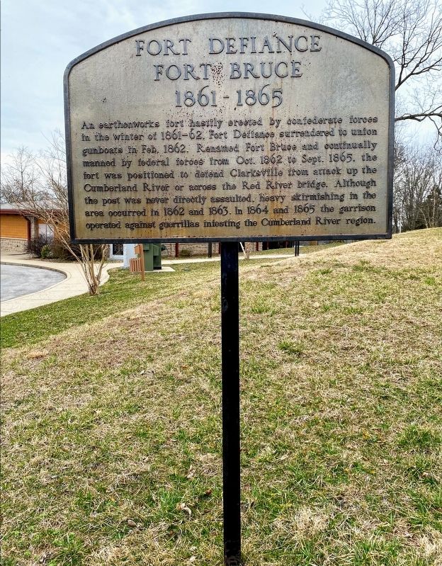
Fort Defiance
Fort Bruce
— 1861 - 1865 —
Topics. This historical marker is listed in these topic lists: Military • War, US Civil.
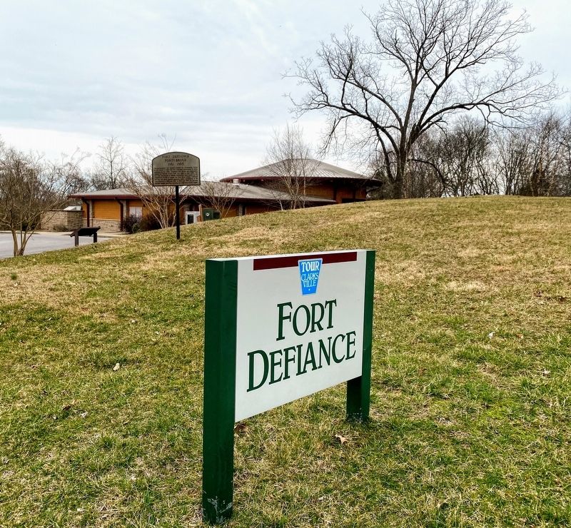
Location. 36° 32.512′ N, 87° 22.385′ W. Marker is in Clarksville, Tennessee, in Montgomery County. Marker is on A Street, on the right when traveling south. Marker is located near the parking lot at Fort Defiance Civil War Park & Interpretive Center. Touch for map. Marker is at or near this postal address: 120 Duncan St, Clarksville TN 37042, United States of America. Touch for directions.
Other nearby markers. At least 8 other markers are within walking distance of this marker. A different marker also named Fort Defiance (a few steps from this marker); Fort Defiance Interpretive Center (within shouting distance of this marker); Bringing the War to Clarksville (within shouting distance of this marker); Building Fort Sevier (Defiance) (about 300 feet away, measured in a direct line); Freedmen's Camp and the USCT (about 300 feet away); Life as a Garrisoned Union Soldier (about 300 feet away); Forts Versus Ironclads (about 400 feet away); Tobacco Trade and the Rivers (about 600 feet away). Touch for a list and map of all markers in Clarksville.
Also see . . . Fort Defiance Civil War Park & Interpretive Center. City of Clarksville (Submitted on May 11, 2021.)
Credits. This page was last revised on May 11, 2021. It was originally submitted on May 10, 2021, by Shane Oliver of Richmond, Virginia. This page has been viewed 217 times since then and 45 times this year. Photos: 1, 2. submitted on May 10, 2021, by Shane Oliver of Richmond, Virginia. • Bernard Fisher was the editor who published this page.

