Whitesville in Allegany County, New York — The American Northeast (Mid-Atlantic)
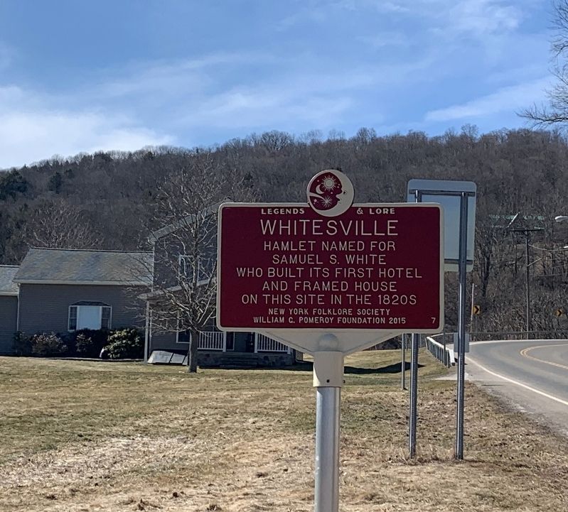
Whitesville
Legends & Lore
Erected 2015 by New York Folklore Society, William G. Pomeroy Foundation. (Marker Number 7.)
Topics. This historical marker is listed in this topic list: Settlements & Settlers.
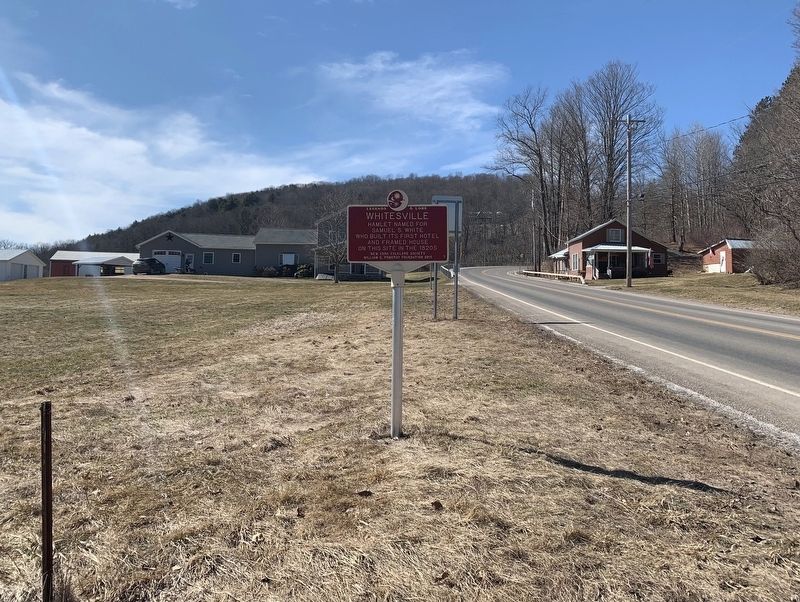
Location. 42° 2.279′ N, 77° 46.932′ W. Marker is in Whitesville, New York, in Allegany County. Marker is at the intersection of Main Street (New York State Route 248) and Old Cryder Road, on the right when traveling east on Main Street. Touch for map. Marker is in this post office area: Whitesville NY 14897, United States of America. Touch for directions.
Other nearby markers. At least 8 other markers are within 11 miles of this marker, measured as the crow flies. Pennsylvania (approx. 5˝ miles away in Pennsylvania); First Town Meeting (approx. 6.9 miles away); Early Cemetery (approx. 8.7 miles away); 1885 • Fish Survey • 1935 (approx. 9 miles away); Greenwood Community Memorial (approx. 9.6 miles away); Tanbark City (approx. 9.8 miles away); Van Buren Hotel & Fassett House (approx. 10.2 miles away); David A Howe (approx. 10.4 miles away).
Credits. This page was last revised on May 11, 2021. It was originally submitted on March 15, 2021, by Steve Stoessel of Niskayuna, New York. This page has been viewed 247 times since then and 34 times this year. Last updated on May 10, 2021, by Jordan Romano of Kings Park, New York. Photos: 1, 2. submitted on March 15, 2021, by Steve Stoessel of Niskayuna, New York. • Michael Herrick was the editor who published this page.

