Near Conestoga in Lancaster County, Pennsylvania — The American Northeast (Mid-Atlantic)
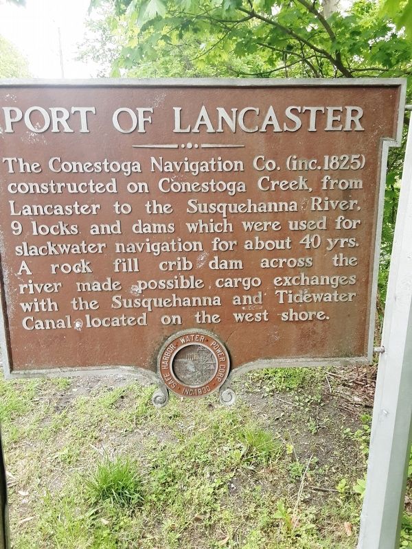
Port of Lancaster
Safe Harbor Water Power Corp. * Inc. 1930
Erected by Safe Harbor Water Power Corp.
Topics. This historical marker is listed in these topic lists: Industry & Commerce • Waterways & Vessels. A significant historical year for this entry is 1825.
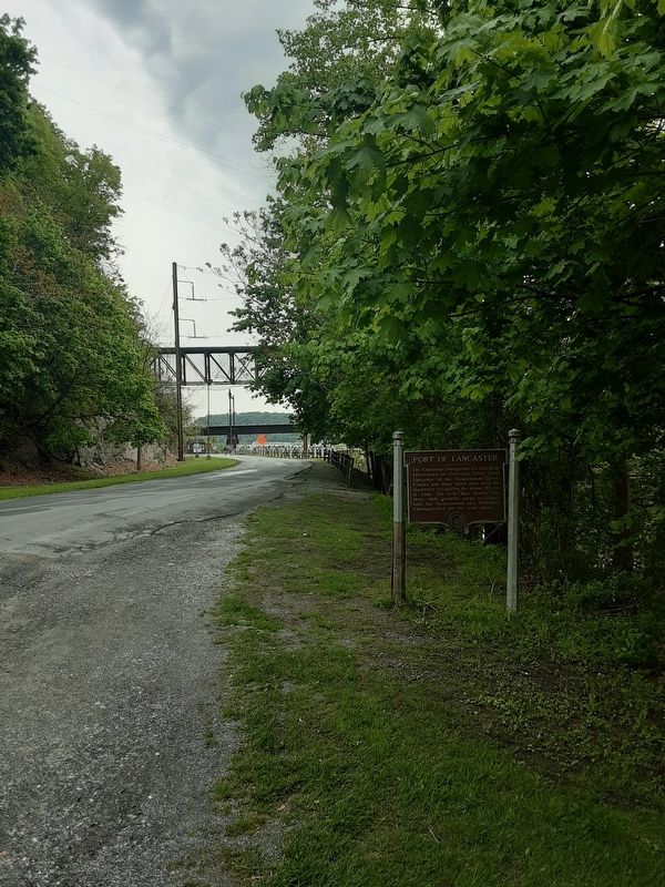
Location. 39° 55.566′ N, 76° 23.047′ W. Marker is near Conestoga, Pennsylvania, in Lancaster County. Marker is on Powerhouse Road, on the right when traveling south. Touch for map. Marker is in this post office area: Conestoga PA 17516, United States of America. Touch for directions.
Other nearby markers. At least 8 other markers are within 3 miles of this marker, measured as the crow flies. Bird Watching Platform (about 700 feet away, measured in a direct line); Houses for Employees of the Safe Harbor Iron Works (approx. half a mile away); Iron Works (approx. 0.6 miles away); In Honor (approx. 0.7 miles away); Conestoga Indian Town (approx. 0.9 miles away); Conestoga (approx. 1˝ miles away); a different marker also named Conestoga Indian Town (approx. 2˝ miles away); The Cost of Dynamite (approx. 2.8 miles away). Touch for a list and map of all markers in Conestoga.
Credits. This page was last revised on May 13, 2021. It was originally submitted on May 11, 2021, by Carl Gordon Moore Jr. of North East, Maryland. This page has been viewed 176 times since then and 21 times this year. Photos: 1, 2. submitted on May 11, 2021, by Carl Gordon Moore Jr. of North East, Maryland. • Bill Pfingsten was the editor who published this page.

