
Sautee Nacoochee in White County, Georgia — The American South (South Atlantic)
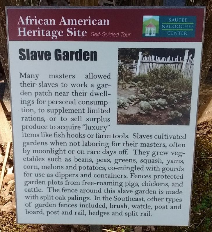
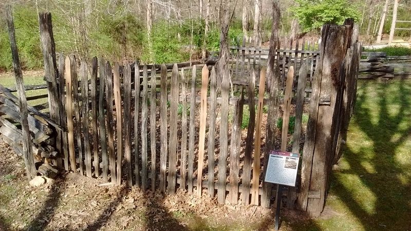
Slave Garden
Photographed by Tom Bosse
1. Slave Garden Marker
Topics. This historical marker is listed in these topic lists: African Americans • Agriculture • Animals.
Location. 34° 41.185′ N, 83° 40.568′ W. Marker is in Sautee Nacoochee, Georgia, in White County. It is on Georgia Route 255, on the left when traveling north. Marker located near the Sautee Nacoochee Cultural Center. Touch for map.
this page online

Regionally, this marker is in Georgia’s Mountains. It is also in the American South, specifically in the Deep South, in Appalachia, and specifically in Southern Appalachia. Globally, it is in North America, the Western Hemisphere, the Western World, and the Anglosphere. Historically, it finds itself in what was once the original Cherokee Nation, the territory of the Mississippian Culture, one of the original Thirteen Colonies, one of the Confederate States of America, and the Antebellum South.
Other nearby markers. At least 8 other markers are within walking distance of this marker: Emancipation Wall (here, next to this marker); African American Heritage Site (a few steps from this marker); Slave Dwelling (a few steps from this marker); Blacksmith Shop (a few steps from this marker); Millstones (a few steps from this marker); Cooling Vat (a few steps from this marker); Joe Brown Pikes (approx. 0.7 miles away); Bishop Marvin A. Franklin (approx. 0.8 miles away). Touch for a list and map of all markers in
Photographed by Tom Bosse, April 5, 2018
2. Slave Garden Marker
Related markers. Click here for a list of markers that are related to this marker.
Also see . . . Sautee Nacoochee Center. Repaired broken link; 02/24/2026 LPG. (Submitted on July 20, 2018, by Tom Bosse of Jefferson City, Tennessee.)
Credits. This page was last revised on February 24, 2026. It was originally submitted on July 20, 2018, by Tom Bosse of Jefferson City, Tennessee. This page has been viewed 718 times since then and 53 times this year. Last updated on May 12, 2021, by David Tibbs of Resaca, Georgia. Photos: 1, 2. submitted on July 20, 2018, by Tom Bosse of Jefferson City, Tennessee. • J. Makali Bruton was the editor who published this page.
