Maumee City
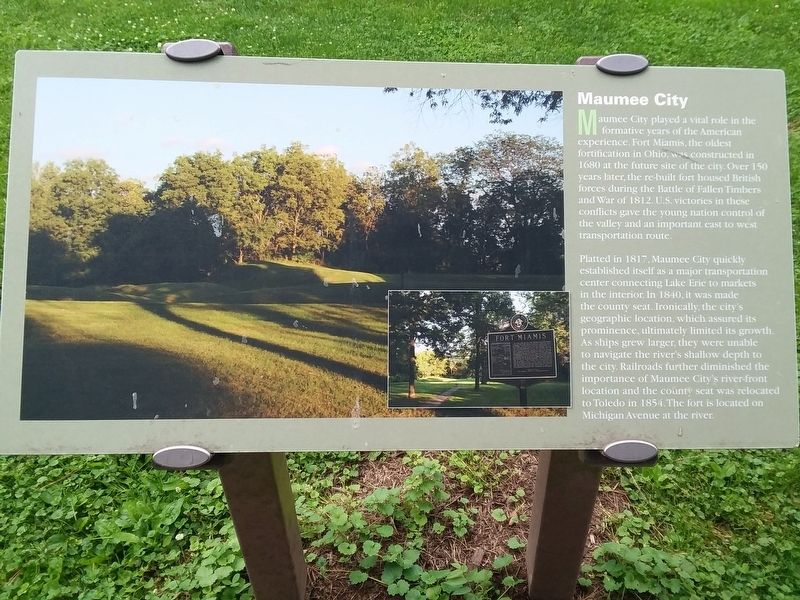
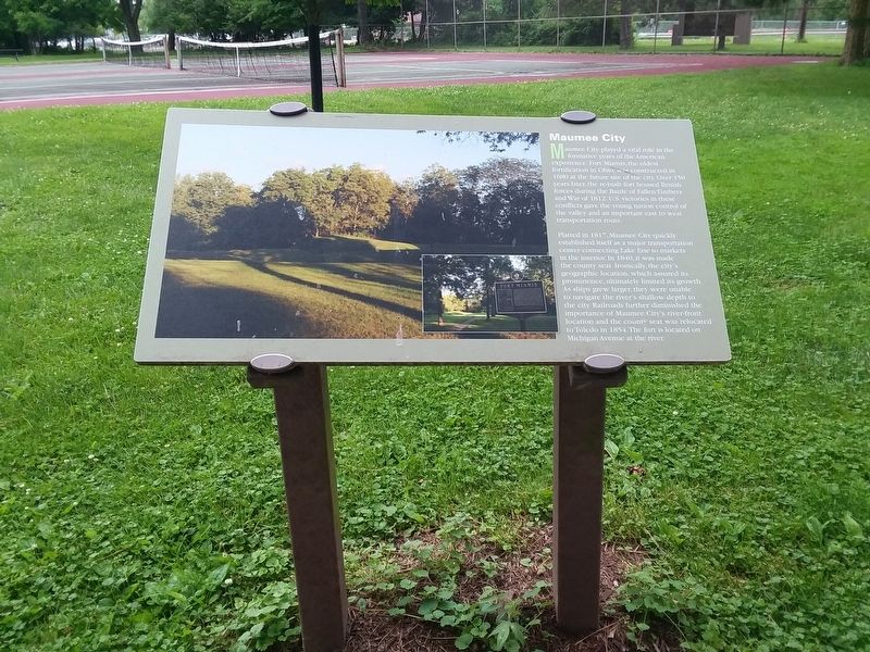
Maumee City played a vital role in the formative years of the American experience. Fort Miamis, the oldest fortification in Ohio, was constructed in 1680 at the future site of the city. Over 150 years later, the re-built fort housed British forces during the Battle of Fallen Timbers and War of 1812. U.S. victories in these conflicts gave the young nation control of the valley and an important east to west transportation route.
Platted in 1817, Maumee City quickly
established itself as a major transportation
center connecting Lake Erie to markets
in the interior. In 1840, it was made
the county seat. Ironically, the city's
geographic location, which assured its
prominence, ultimately limited its growth.
As ships grew larger, they were unable
to navigate the river's shallow depth to
the city. Railroads further diminished the
importance of Maumee City's river-front
location and the county seat was relocated
to Toledo in 1854.The fort is located on
Michigan Avenue at the river.
Topics. This historical marker is listed in these topic lists: Colonial Era • Forts and Castles • Settlements & Settlers • War of 1812. A significant historical year for this entry is 1680.
Location. 41° 33.498′ N, 83° 40.309′ W. Marker is in Maumee, Ohio, in Lucas County
Other nearby markers. At least 8 other markers are within walking distance of this marker. Locking in Commerce (about 400 feet away, measured in a direct line); Side Cut's Left Over Locks (about 600 feet away); Good Work Pays Off (about 600 feet away); Rotary International (1905-2005) / Maumee Rotary Centennial Pavilion Dedicated July 2, 2005 (approx. ¼ mile away); 215 W. John Street (approx. 0.8 miles away); Ohio Historical Flood Marker (approx. 0.9 miles away); Northern Light Lodge No. 40 Free and Accepted Masons (approx. 0.9 miles away); Map of Maumee Uptown Commercial District (approx. 0.9 miles away). Touch for a list and map of all markers in Maumee.
Credits. This page was last revised on May 14, 2021. It was originally submitted on May 13, 2021, by Craig Doda of Napoleon, Ohio. This page has been viewed 132 times since then and 12 times this year. Photos: 1, 2. submitted on May 13, 2021, by Craig Doda of Napoleon, Ohio. • Devry Becker Jones was the editor who published this page.

