Providence Township near Grand Rapids in Lucas County, Ohio — The American Midwest (Great Lakes)
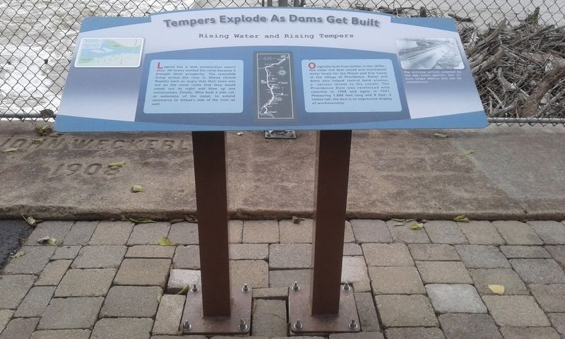
Tempers Explode As Dams Get Built
Rising Water and Rising Tempers
Legend has it that construction wasn't easy. All towns wanted the canal because it brought them prosperity. The townsfolk living across the river in Gilead (Grand Rapids) were so angry that their town was not on the canal route that they would sneak out at night and blow up any construction. Finally, Ohio built a side cut, or extension of the canal, to extend commerce to Gilead's side of the river as well.
Originally built from timber in the 1830s, this roller mill dam raised and maintained water levels for the Miami and Erie Canal at the village of Providence. Roller mill dams also helped control bank erosion, a serious threat to the canals. The Providence Dam was reinforced with concrete in 1908 and again in 1991. Measuring 1,888 feet long and 8 feet; 5 inches tall, the dam is an impressive display of workmanship.
Topics and series. This historical marker is listed in these topic lists: Industry & Commerce • Waterways & Vessels. In addition, it is included in the The Miami & Erie Canal series list. A significant historical year for this entry is 1908.
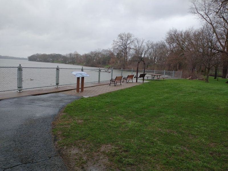
Location. 41° 25.01′ N, 83° 52.208′ W. Marker is near Grand Rapids, Ohio, in Lucas County. It is in Providence Township. Marker is at the intersection of South River Road (U.S. 24) and Ludwig Road, on the right when traveling east on South River Road. Touch for map. Marker is at or near this postal address: 13875 S River Rd, Grand Rapids OH 43522, United States of America. Touch for directions.
Other nearby markers. At least 8 other markers are within walking distance of this marker. Water's Way: Flood And Ice (a few steps from this marker); Foundations From The Past (a few steps from this marker); The Towpath Trail (about 400 feet away, measured in a direct line); Providence Historical District (approx. 0.2 miles away); The 150th Anniversary of the Great Starvation (approx. ¼ mile away); St. Patrick Church (approx. ¼ mile away); M. J. Wright Pavillion (approx. 0.3 miles away); In Memory Of Julie Pontasch (approx. 0.3 miles away). Touch for a list and map of all markers in Grand Rapids.
Additional keywords. sabotage
Credits. This page was last revised on February 6, 2023. It was originally submitted on May 13, 2021, by Craig Doda of Napoleon, Ohio. This page has been viewed 149 times since then and 23 times this year. Photos: 1. submitted on May 13, 2021, by Craig Doda of Napoleon, Ohio. 2. submitted on April 14, 2022, by Craig Doda of Napoleon, Ohio. • Devry Becker Jones was the editor who published this page.

