The Traveling Church
1781
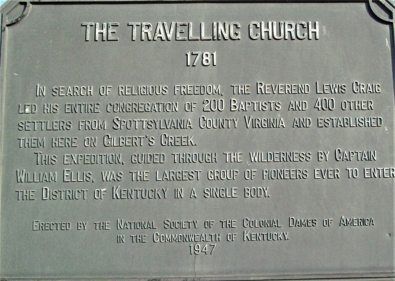
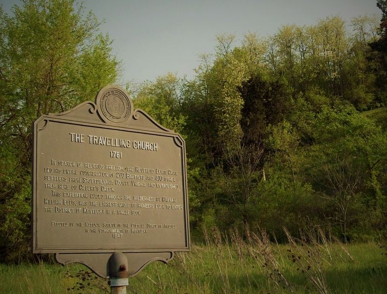
In search of religious freedom, the Reverend Lewis Craig led his entire congregation of 200 Baptists and 400 other settlers from Spotsylvania County Virginia and established them here on Gilbert's Creek.
This expedition, guided through the wilderness by Captain William Ellis, was the largest group of pioneers ever to enter the District of Kentucky in a single body.
Erected 1947 by National Society of the Colonial Dames of America in the Commonwealth of Kentucky. (Marker Number 25.)
Topics and series. This historical marker is listed in these topic lists: Churches & Religion • Settlements & Settlers. In addition, it is included in the The Colonial Dames of America, National Society of series list. A significant historical year for this entry is 1781.
Location. Marker has been reported missing. It was located near 37° 34.675′ N, 84° 33.506′ W. Marker was near Lancaster, Kentucky, in Garrard County. Marker was at the intersection of Lancaster Road (Kentucky Route 39) and Gilbert Creek Road (Kentucky Route 642), on the right when traveling south on Lancaster Road. Touch for map. Marker was at or near this postal address: 571 Gilberts Creek Rd, Lancaster KY 40444, United States of America. Touch for directions.
Other nearby markers. At least 8 other markers are within 4 miles of this location, measured
Credits. This page was last revised on May 16, 2021. It was originally submitted on May 13, 2021, by Rev. Ronald Irick of West Liberty, Ohio. This page has been viewed 353 times since then and 31 times this year. Photos: 1, 2, 3. submitted on May 13, 2021, by Rev. Ronald Irick of West Liberty, Ohio. • Devry Becker Jones was the editor who published this page.


