Christiana Hundred near Montchanin in New Castle County, Delaware — The American Northeast (Mid-Atlantic)
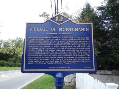
Village of Montchanin
Photographed by Stephen J Duncan, September 18, 2011
1. Village of Montchanin Marker
Erected 2008 by Delaware Public Archives. (Marker Number NC-185.)
Topics and series.
this page online
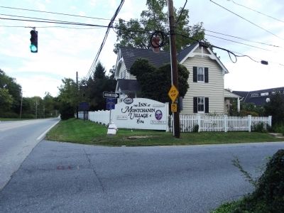
Location. 39° 47.411′ N, 75° 35.365′ W. Marker is near Montchanin, Delaware, in New Castle County. It is in Christiana Hundred. It is at the intersection of Montchanin Road (Delaware Route 100) and Kirk Rd on Montchanin Road. Marker is on the northeast corner of the intersection. Touch for map. Marker is at or near this postal address: 528 Montchanin Rd, Wilmington DE 19807, United States of America. Touch for directions.

Regionally, this marker is in Greater Wilmington and in Greater Philadelphia. It is also in the American Mid-Atlantic, on the Delmarva Peninsula, and on the Eastern Seaboard. Globally, it is in the North Atlantic Region, North America, the Western Hemisphere, the Western World, and the Anglosphere. Historically, it finds itself in what was once New Netherland and also one of the original Thirteen Colonies.
Photographed by Stephen J Duncan, September 18, 2011
2. Village of Montchanin Marker
Other nearby markers. At least 8 other markers are within walking distance of this marker: Soda House (approx. half a mile away); Pierre Samuel DuPont de Nemours Memorial (approx. half a mile away); Eleutherian Mills (approx. 0.6 miles away); Marquis de Lafayette (approx. 0.6 miles away); Gardens at Hagley (approx. 0.6 miles away); Hagley's Pollinator Garden (approx. 0.6 miles away); Cooper Shop (approx. 0.6 miles away); Greenhouse (approx. 0.7 miles away).
Also see . . . Montchanin Historic District - National Register of Historic Places Nomination Form.
In architectural and aesthetic terms, the importance of Montchanin is found in the character and harmony of the whole village rather than in the outstanding significance of any of its parts. Once one of a great number of similar hamlets in the lower Brandywine valley, it remains today much as it did at the turn of the century. There are few others that have survived with so few intrusions in their environment and structural characteristics.(Submitted on April 22, 2025, by Pete Skillman of Wilmington, Delaware.)
Photographed by Stephen J Duncan, September 18, 2011
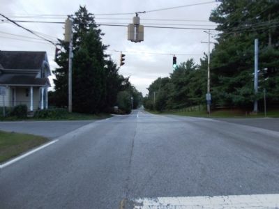
3. At the marker, looking south on Montchanin Rd.
Photographed by Stephen J Duncan, September 18, 2011
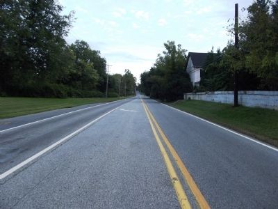
4. At the marker, looking north on Montchanin Rd.
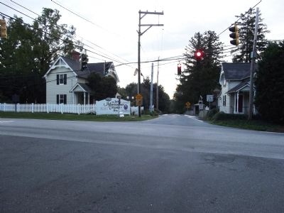
Photographed by Stephen J Duncan, September 18, 2011
5. Looking east along Kirk Road
Credits. This page was last revised on June 5, 2026. It was originally submitted on September 18, 2011, by Stephen J Duncan of Wilmington, Delaware. This page has been viewed 1,591 times since then and 85 times this year. Last updated on May 14, 2021, by Carl Gordon Moore Jr. of North East, Maryland. Photos: 1, 2, 3, 4, 5. submitted on September 18, 2011, by Stephen J Duncan of Wilmington, Delaware. • J. Makali Bruton was the editor who published this page.
