Near Crabtree in Haywood County, North Carolina — The American South (South Atlantic)
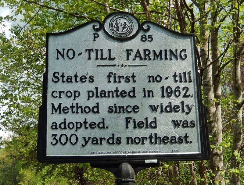
No-till Farming
Photographed by Cosmos Mariner, May 14, 2021
1. No-till Farming Marker
Erected 2005 by North Carolina Office of Archives and History. (Marker Number P-85.)
Topics and series. This historical marker is listed in this topic list: Agriculture. In addition, it is included in the North Carolina Division of Archives and History series list. A significant historical year for this entry is 1962.
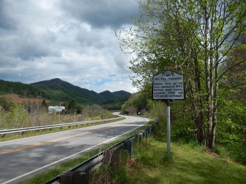
Location. 35° 36.873′ N, 82° 56.06′ W. Marker is near Crabtree, North Carolina, in Haywood County. It is at the intersection of Rush Fork Road (State Highway 209) and Mulbrook Lane, on the right when traveling north on Rush Fork Road. Touch for map. Marker is in this post office area: Clyde NC 28721, United States of America. Touch for directions.

Regionally, this marker is in the Mountains, specifically in Greater Asheville, and in the Great Smoky Mountains. It is also in the American South, specifically in the Upper South, in Appalachia, and specifically in Southern Appalachia. Globally, it is in North America, the Western Hemisphere, the Western World, and the Anglosphere. Historically,
this page online
Other nearby markers. At least 8 other markers are within 7 miles of this marker, measured as the crow flies: Mount Zion United Methodist Church (approx. 1.8 miles away); "Cataloochee Trail" (approx. 4.2 miles away); Clyde High School (approx. 5.7 miles away); The Armed Forces from Clyde Town-ship (approx. 5.8 miles away); The Shook House (approx. 5.8 miles away); Lambuth Inn (approx. 6.2 miles away); Bishop Francis Asbury (approx. 6.2 miles away); Honorable Chief Junaluska (approx. 6.2 miles away).
Also see . . .
1. No-till Farming (Wikipedia). No-till farming decreases the amount of soil erosion tillage causes. Other possible benefits include an increase in the amount of water that infiltrates into the soil, soil retention of organic matter, and nutrient cycling. No-till farming is widely used in the United States and the number of acres managed in this way continues to grow. (Submitted on May 14, 2021, by Cosmos Mariner of Cape Canaveral, Florida.)
2. No-tillage agriculture: A legacy born in Kentucky.
Photographed by Cosmos Mariner, May 14, 2021
2. No-till Farming Marker
Photographed by Cosmos Mariner, May 14, 2021
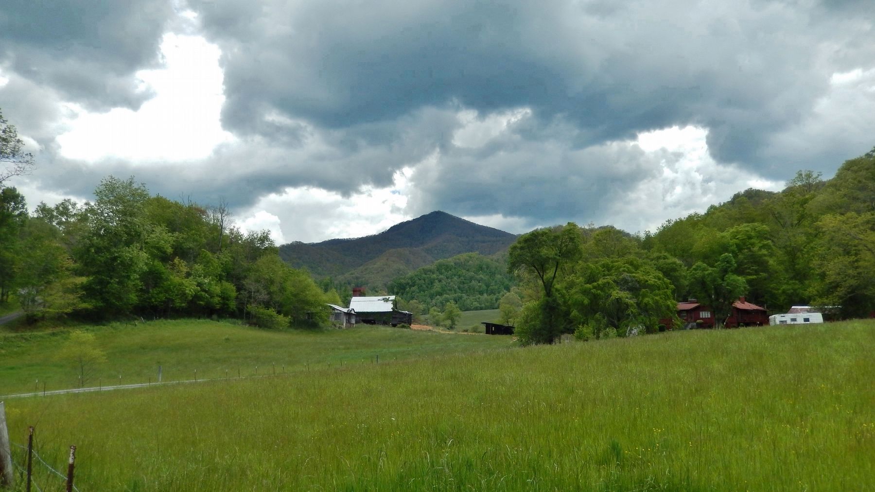
3. Site of First No-till Farming in North Carolina
Credits. This page was last revised on July 8, 2026. It was originally submitted on May 14, 2021, by Cosmos Mariner of Cape Canaveral, Florida. This page has been viewed 513 times since then and 21 times this year. Photos: 1, 2, 3. submitted on May 14, 2021, by Cosmos Mariner of Cape Canaveral, Florida.
