Grand Rapids in Wood County, Ohio — The American Midwest (Great Lakes)
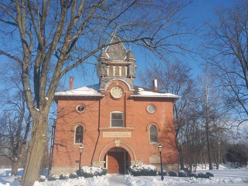
Grand Rapids Town Hall
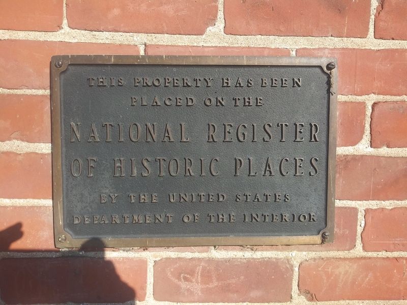
placed on the
National Register
of Historic Places
by the United States
Department of the Interior
Erected by The United States Department of the Interior.
Topics. This historical marker is listed in this topic list: Government & Politics.
Location. 41° 24.732′ N, 83° 52.172′ W. Marker is in Grand Rapids, Ohio, in Wood County. Marker is at the intersection of Front Street (Local Road 1616) and Bass Street, on the left when traveling east on Front Street. Touch for map. Marker is at or near this postal address: 24251 Front Street, Grand Rapids OH 43522, United States of America. Touch for directions.
Other nearby markers. At least 8 other markers are within walking distance of this marker. Thurston Building (about 500 feet away, measured in a direct line); First Presbyterian Church (about 600 feet away); Sugar Maple (about 600 feet away); A Lasting Legacy (about 700 feet away); M. J. Wright Pavillion (about 700 feet away); In Memory Of Julie Pontasch (about 700 feet away); The Benjamin F. Kerr House (about 700 feet away); Grand Rapids Flood Records (about 800 feet away). Touch for a list and map of all markers in Grand Rapids.
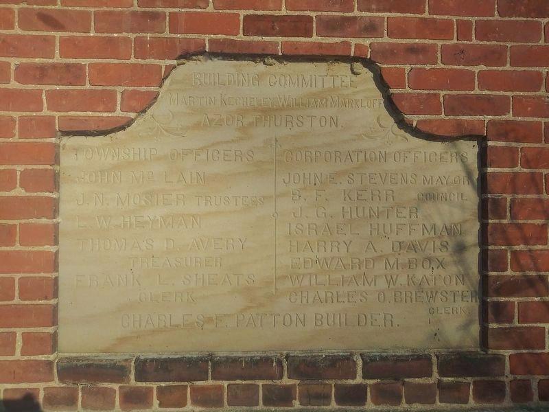
Regarding Grand Rapids Town Hall. The Town Hall was constructed in 1898 and added to the National Register of Historic Places on May 27, 1975.
Also see . . . Grand Rapids Town Hall National Register Nomination Form. (Submitted on April 2, 2021, by William Fischer, Jr. of Scranton, Pennsylvania.)
Credits. This page was last revised on May 15, 2021. It was originally submitted on April 1, 2021, by Craig Doda of Napoleon, Ohio. This page has been viewed 197 times since then and 66 times this year. Last updated on May 14, 2021, by Bradley Owen of Morgantown, West Virginia. Photos: 1, 2. submitted on April 1, 2021, by Craig Doda of Napoleon, Ohio. 3. submitted on April 4, 2021, by Craig Doda of Napoleon, Ohio. • J. Makali Bruton was the editor who published this page.


