Tesla in Braxton County, West Virginia — The American South (Appalachia)
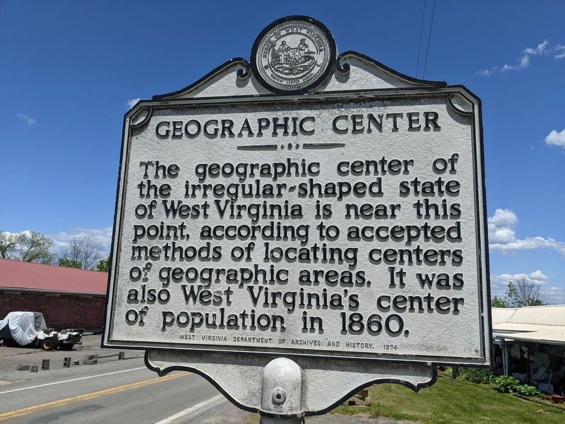
Geographic Center
Erected 1974 by West Virginia Department of Archives and History.
Topics. This historical marker is listed in this topic list: Landmarks. A significant historical year for this entry is 1860.
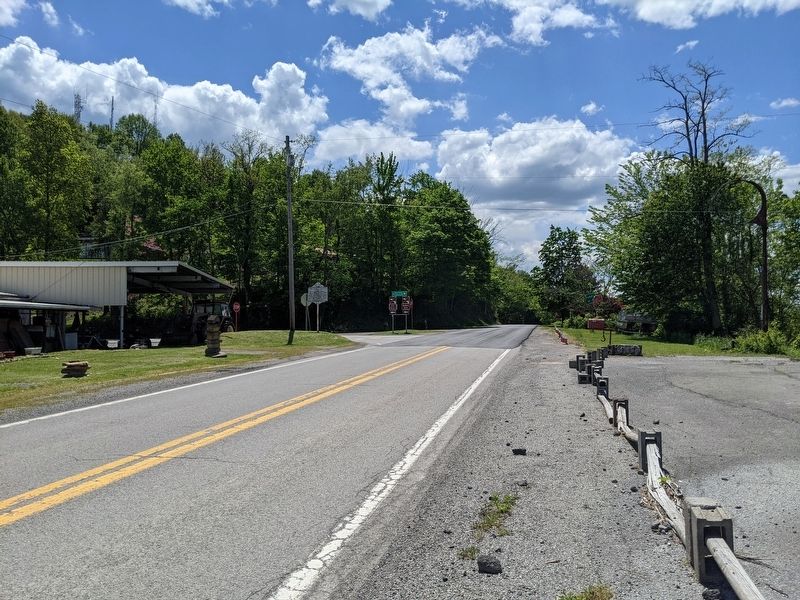
Location. 38° 37.263′ N, 80° 41.992′ W. Marker is in Tesla, West Virginia, in Braxton County. Marker is at the intersection of Old Turnpike Road (Local Route 19/40) and Centralia Road (Local Route 17), on the right when traveling north on Old Turnpike Road. Touch for map. Marker is in this post office area: Sutton WV 26601, United States of America. Touch for directions.
Other nearby markers. At least 8 other markers are within 11 miles of this marker, measured as the crow flies. Revolutionary War Monument (approx. 3 miles away); World War 1917–18 Memorial (approx. 3 miles away); The War and Suttonville (approx. 3 miles away); How Did Braxton County Get Its Name? (approx. 3 miles away); Fighting and Flames (approx. 3.3 miles away); Burning of Sutton (approx. 3.3 miles away); Nicholas County / Braxton County (approx. 5.9 miles away); America's Guard of Honor (approx. 10.8 miles away).
Credits. This page was last revised on May 15, 2021. It was originally submitted on May 15, 2021, by Mike Wintermantel of Pittsburgh, Pennsylvania. This page has been viewed 914 times since then and 243 times this year. Photos: 1, 2. submitted on May 15, 2021, by Mike Wintermantel of Pittsburgh, Pennsylvania.

