Sutton in Braxton County, West Virginia — The American South (Appalachia)
How Did Braxton County Get Its Name?
How Did Braxton County Get Its Name?
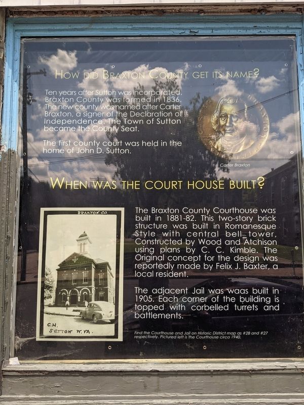
Ten years after Sutton was incorporated, Braxton County was formed in 1836. The new county was named after Carter Braxton, a signer of the Declaration of Independence. The Town of Sutton became the County Seat. The first county court was held in the home of John D. Sutton.
When Was The Court House Built?
The Braxton County Court House was built in 1881-82. This two-story brick structure was built in Romanesque Style with central bell tower. Construction by Wood and Atchison using plans by C.C. Kimble. The Original concept for the design was reportedly made by Felix J. Baxter, a local resident. The adjacent Jail waas built in 1905. Each corner of the building is topped with corbelled turrets and battlements.
Panel 2
Welcome to Sutton Historic District
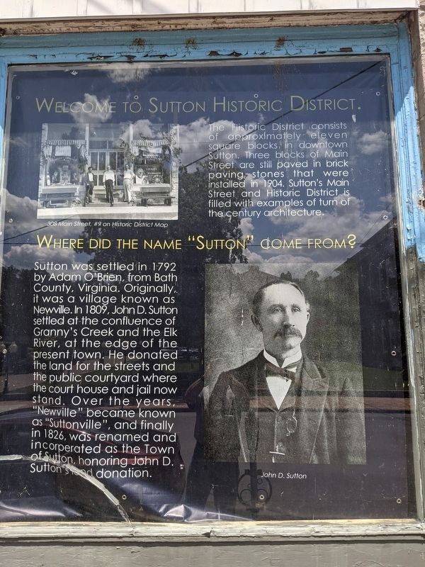
The Historic District consists of approximately eleven square blocks in downtown Sutton. Three blocks of Main Street are still paved in brick paving stones that were installed in 1904. Sutton's Main Street and Historic District is filled with examples of turn-of-the-century architecture.
Where Did The Name "Sutton" Come From?
Sutton was settled in 1792 by Adam O'Brien, from Bath County, Virginia. Originally it was a village known as Newville. In 1809, John D. Sutton settled at the confluence of Granny's Creek and the Elk River, at the edge of the present town. He donated the land for the streets and the public courtyard where the court house and jail now stand. Over the years, "Newville" became known as "Suttonville", and finally in 1826, was renamed and incorporated as the Town of Sutton, honoring John D. Sutton's land donation.
Panel 3
Why Is Sutton On The Civil War Trail?
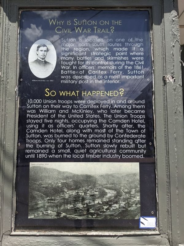
Sutton is located on one of the major north-south routes through the region, which made it a significant strategic point where many battles and skirmishes were fought for its control during the Civil War. In officers' memoirs of the 1861 Battle of Carnifex Ferry, Sutton was described as a most important military post in the interior.
So What Happened?
10,000 Union troops were deployed in and around Sutton on their way to Carnifex Ferry. Among them was William and McKinley, who later became President of the United States. The Union troops stayed five nights, occupying the Camden Hotel, using it as an officers' quarters. Shortly after, the Camden Hotel, along with most of the Town of Sutton, was burned to the ground by Confederate Troops. Only four homes remained standing after the Burning of Sutton. Sutton slowly rebuilt but remained a small, quiet agricultural community until 1890 when the local timber industry boomed.
Panel 4
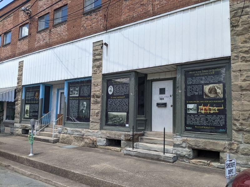
What Is The Town Of Sutton Most Known For?
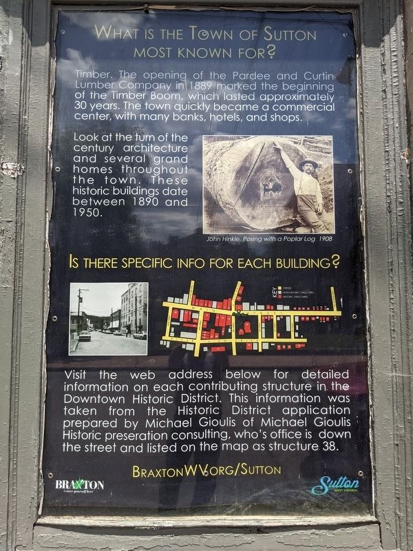
Timber. The opening of the Pardee and Curtin Lumber Company in 1889 marked the beginning of the Timber Boom, which lasted approximately 30 years. The town quickly became a commercial center, with many banks, hotels, and shops. Look at the turn of the century architecture and several grand homes throughout the town. These historic buildings date between 1890 and 1950.
Is There Specific Info For Each Building?
Visit the web address for detailed information on each contributing structure in the Downtown Historic District. The information was taken from the Historic District application prepared by Michael Gioulis of Michael Gioulis Historic preservation consulting, who's office is down the street and listed on the map as structure 38.
Topics. This historical marker is listed in this topic list: Notable Places. A significant historical year for this entry is 1836.
Location. 38° 39.875′ N, 80° 42.508′ W. Marker is in Sutton, West Virginia, in Braxton County. Marker can be reached from the intersection of Main Street and North Hill Road. This panel is one of four window panels. Touch for map. Marker is in this post office area: Sutton WV 26601, United States of America. Touch for directions.
Other nearby markers. At least 8 other markers are within 9 miles of this marker, measured as the crow flies. The War and Suttonville (a few steps from this marker); World War 1917–18 Memorial (within shouting distance of this marker); Revolutionary War Monument (within shouting distance of this marker); Burning of Sutton (approx. 0.4 miles away); Fighting and Flames (approx. 0.4 miles away); Geographic Center (approx. 3 miles away); Skirmish at Salt Lick Bridge (approx. 8.7 miles away); Nicholas County / Braxton County (approx. 8.8 miles away). Touch for a list and map of all markers in Sutton.
Also see . . .
1. Braxton County, West Virginia. Wikipedia entry (Submitted on December 23, 2023, by Larry Gertner of New York, New York.)
2. Welcome to Braxton County, West Virginia. County website homepage (Submitted on May 15, 2021, by Mike Wintermantel of Pittsburgh, Pennsylvania.)
3. Sutton Downtown Historic District. Wikipedia entry:
Links to National Register of Historic Places Nomination Form (Submitted on December 23, 2023, by Larry Gertner of New York, New York.)
Credits. This page was last revised on December 23, 2023. It was originally submitted on May 15, 2021, by Mike Wintermantel of Pittsburgh, Pennsylvania. This page has been viewed 272 times since then and 59 times this year. Last updated on May 15, 2021, by Bradley Owen of Morgantown, West Virginia. Photos: 1, 2, 3, 4, 5. submitted on May 15, 2021, by Mike Wintermantel of Pittsburgh, Pennsylvania. • Devry Becker Jones was the editor who published this page.
