Montrose in Jasper County, Mississippi — The American South (East South Central)
Montrose Presbyterian Church
Photographed by James Hulse, May 14, 2021
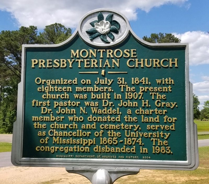
1. Montrose Presbyterian Church Marker
Organized on July 31, 1841, with eighteen members. The present church was built in 1907. The first pastor was Dr. John H. Gray. Dr. John N. Waddel, a charter member who donated the land for the church and cemetery, served as Chancellor of the University of Mississippi 1865-1874. The congregation disbanded in 1983.
Erected 2004 by Mississippi Department of Archives and History.
Topics. This historical marker is listed in these topic lists: Education • Religion & Religious Structures. A significant historical date for this entry is July 31, 1841.
Location. 32° 7.404′ N, 89° 14.202′ W. Marker is in Montrose, Mississippi, in Jasper County. It is on County Highway 20 0.2 miles west of State Highway 15, on the left when traveling west. The marker is located in front of the church on the right side of the door. Touch for map. Marker is at or near this postal address: 346 County Road 20, Louin MS 39338, United States of America. Touch for directions.

Regionally, this marker is in Mississippi’s Pine Belt. It is also in the American South, specifically in the Deep South, and in the Piney Woods. Globally, it is in North
this page online
Other nearby markers. At least 6 other markers are within 15 miles of this marker, measured as the crow flies: Assassination of F.M.B. "Marsh" Cook (approx. 8.2 miles away); Three Chopped Way (approx. 8.2 miles away); Confederate Hospital (approx. 14.2 miles away); Grierson's Raid (approx. 14.3 miles away); Newton County Blues (approx. 14.3 miles away); McElroy-Hoye House (approx. 14.4 miles away).
Photographed by James Hulse, May 14, 2021
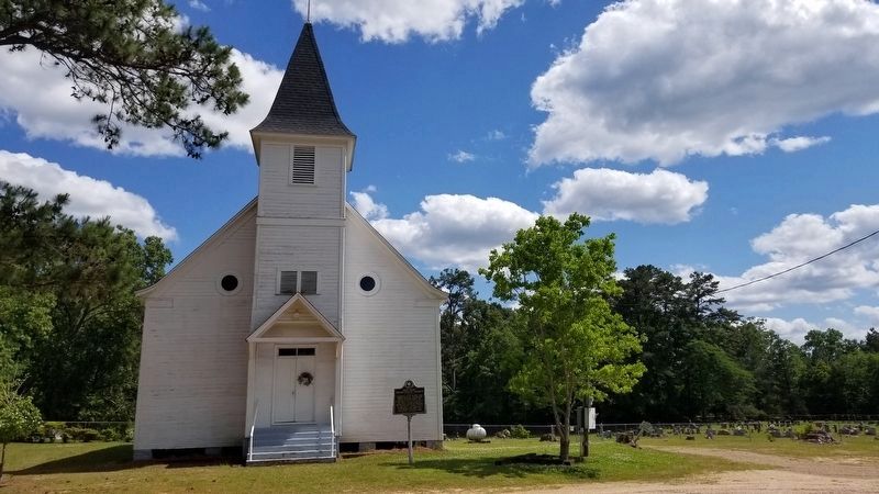
2. The view of the Montrose Presbyterian Church and Marker from the road
Photographed by James Hulse, May 14, 2021
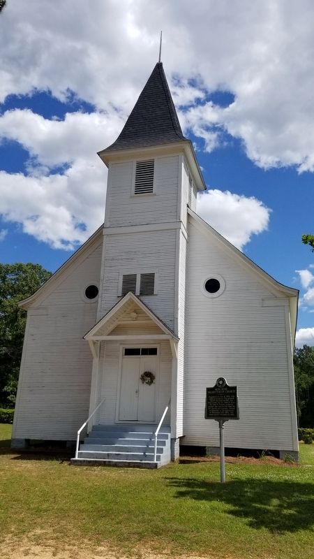
3. Montrose Presbyterian Church and Marker
Photographed by James Hulse, May 14, 2021
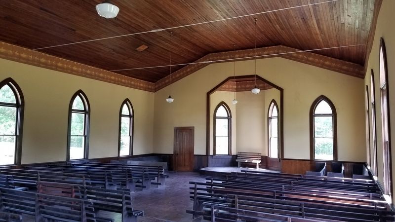
4. Inside view of the Montrose Presbyterian Church
Credits. This page was last revised on May 16, 2021. It was originally submitted on May 16, 2021, by James Hulse of Medina, Texas. This page has been viewed 822 times since then and 76 times this year. Photos: 1, 2, 3, 4. submitted on May 16, 2021, by James Hulse of Medina, Texas.
