Wolverine Lake in Oakland County, Michigan — The American Midwest (Great Lakes)
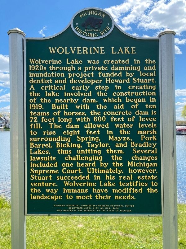
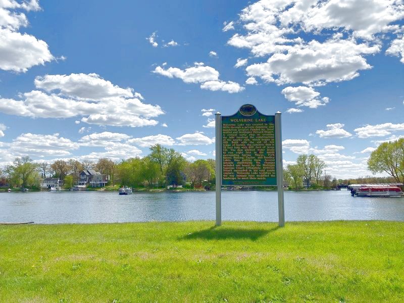
Wolverine Lake
Erected 2006 by Michigan Historical Commission - Michigan Historical Center. (Marker Number L2163.)
Topics and series. This historical marker is listed in this topic list: Waterways & Vessels. In addition, it is included in the Michigan Historical Commission series list. A significant historical year for this entry is 1919.
Location. 42° 33.73′ N, 83° 28.825′ W. Marker is in Wolverine Lake, Michigan, in Oakland County. Marker is on Glengary Road, 0.2 miles west of Tampa Road, on the left when traveling west. Touch for map. Marker is in this post office area: Walled Lake MI 48390, United States of America. Touch for directions.
Other nearby markers. At least 8 other markers are within 3 miles of this marker, measured as the crow flies. Commerce Roller Mill (approx. 2 miles away); Stonecrest (approx. 2.1 miles away); Commerce Village Burying Ground (approx. 2.1 miles away); Walled Lake (approx. 2.1 miles away); Detroit Finnish Co-operative Summer Camp Association / Detroitin Suomailinen Kesaleiriyhdistys (approx. 2.3 miles away); West Bloomfield Trail (approx. 2.3 miles away); An Advocate for Parks (approx. 2.4 miles away); Commerce United Methodist Congregation / Commerce United Methodist Church (approx. 2.4 miles away).
Also see . . . About Wolverine Lake. Excerpt:
The idea to build a dam came to Dr. Stuart one spring day in 1914 while out walking along the culvert that crossed the road where the dam is now. The culvert had filled with sand, making the water back up, and flooding the land south of the road. At that time, he thought that the six small lakes, surrounded by marsh, had possibly been a single large lake at one time.(Submitted on May 17, 2021, by J.T. Lambrou of New Boston, Michigan.)
Credits. This page was last revised on February 12, 2023. It was originally submitted on May 17, 2021, by J.T. Lambrou of New Boston, Michigan. This page has been viewed 254 times since then and 28 times this year. Photos: 1, 2, 3. submitted on May 17, 2021, by J.T. Lambrou of New Boston, Michigan. • Mark Hilton was the editor who published this page.


