McConnelsville in Morgan County, Ohio — The American Midwest (Great Lakes)
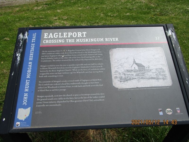
Eagleport
Crossing the Muskingum River
— John Hunt Morgan Heritage Trail —
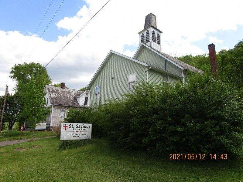
Morgan needed to cross the river as quickly as possible and sent half his column to Hiram Winchell's ferryboat, near the Eagleport Methodist Church (now St. Saviour by the River Anglican Church). While on the ferry, a Confederate soldier swapped his worn-out kepi (military cap) for Winchell's new hat, leaving them both with something to wear.
The remainder of Morgan's cavalry crossed south of Eagleport at Island Run. The Confederates ordered a local boy, traditionally thought to have been either Lon Woodward or Johnny Fouts, to ride back and forth across the ford at Island Run to aid their passage.
Morgan reportedly went into the church to pray as his troops crossed the river. The general would cross safely on the ferry. Just as the last of the raiders waded across, Union infantry, dispatched by Ohio governor David Tod, arrived from Zanesville on a sternwheeler.
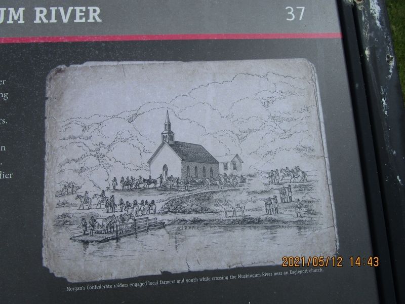
Picture Caption:
Morgan's Confederate raiders engaged local farmers and youth while crossing the Muskingum River near an Eagleport church.
Erected by Ohio Civil War Trail Commission, Civil War 150 Ohio, Ohio Historical Society. (Marker Number 37.)
Topics and series. This historical marker is listed in this topic list: War, US Civil. In addition, it is included in the John Hunt Morgan Heritage Trail in Ohio series list. A significant historical date for this entry is July 23, 1863.
Location. 39° 44.153′ N, 81° 54.88′ W. Marker is in McConnelsville, Ohio, in Morgan County. Marker is on Ohio Route 669, on the right when traveling south. Touch for map. Marker is in this post office area: McConnelsville OH 43756, United States of America. Touch for directions.
Other nearby markers. At least 8 other markers are within 7 miles of this marker, measured as the crow flies. Muskingum River Navigation System (approx. 0.4 miles away); Rokeby Lock (approx. 0.4 miles away); Morgan's Raid (approx. 0.4 miles away); Morgan Raiders (approx. 0.8 miles away); Deerfield Township (approx. 2.3 miles away); Goins Field (approx. 6.4 miles away); Stewart "Stu" Stevens (approx. 6.4 miles away); Rock Hollow School (approx. 6.6 miles away). Touch for a list and map of all markers in McConnelsville.
Credits. This page was last revised on January 23, 2023. It was originally submitted on May 18, 2021, by Gregory Roos of Cincinnati, Ohio. This page has been viewed 428 times since then and 85 times this year. Photos: 1, 2, 3. submitted on May 18, 2021, by Gregory Roos of Cincinnati, Ohio. • Bill Pfingsten was the editor who published this page.


