Near Dillonvale in Jefferson County, Ohio — The American Midwest (Great Lakes)
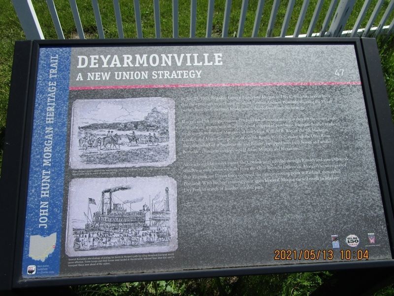
Deyarmonville
A New Union Strategy
— John Hunt Morgan Heritage Trail —
By July 25, 1863, Brigadier General John Hunt Morgan and his Confederate raiders knew that their pursuers were closing in. Major General Ambrose Burnside, directing the Union pursuit from his Cincinnati headquarters, decided to change his strategy.
Morgan and his troops continued to hold the advantage as long as they left the countryside in their wake strewn with tired horses and stripped of provisions. Burnside decided to place fresh troops in front of Morgan and sent Major William B. Way, of the 9th Michigan Cavalry, and Major George Rue, of the 9th Kentucky U.S. Cavalry, up the Ohio River. They disembarked at Steubenville and Bellaire, equipped with fresh horses and artillery. Burnside's change in strategy would doom Morgan and his raiders.
After leaving Harrison County, the Confederates traveled through Ramsey and into Dillonvale, which was only about six miles from the Ohio River. In Dillonvale, Morgan's scouts reported that a significant Union force occupied the nearest crossing point at Rayland, then called Portland. With his best crossing point again blocked, Morgan turned north to head up Dry Fork in search of another suitable path.
[Captions:]
When Morgan's scouts reported the nearest river crossing was blocked by Union troops, the Confederates turned north here in search of another option.
General Burnside's new strategy of placing his forces in Morgan's path by using steamboat transport would prove effective. Union troops and their horses were landed at Steubenville. Railroad lines were also used to transport Union men ahead of the raiders.
Erected by Ohio Civil War Trail Commission, Civil War 150 Ohio, Ohio Historical Society. (Marker Number 47.)
Topics and series. This historical marker is listed in this topic list: War, US Civil. In addition, it is included in the John Hunt Morgan Heritage Trail in Ohio, and the Ohio Historical Society / The Ohio History Connection series lists. A significant historical date for this entry is July 25, 1863.
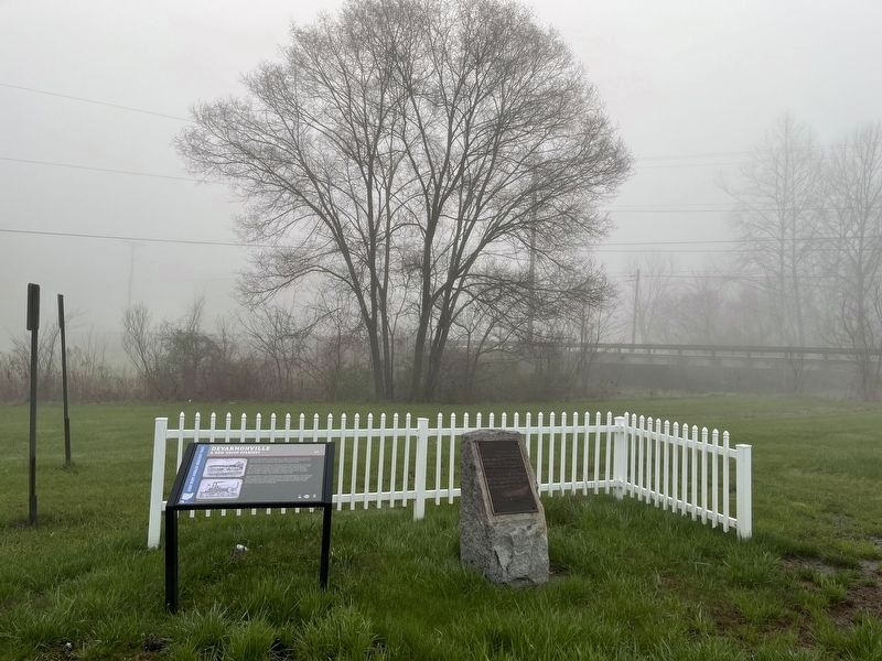
Location. 40° 12.648′ N, 80° 45.548′ W. Marker is near Dillonvale, Ohio, in Jefferson County. Marker is at the intersection of Dry Fork Road (County Route 8) and Ohio Route 150, on the left when traveling south on Dry Fork Road. Touch for map. Marker is in this post office area: Dillonvale OH 43917, United States of America. Touch for directions.
Other nearby markers. At least 8 other markers are within 4 miles of this marker, measured as the crow flies. Morgan's Raid (a few steps from this marker); Veterans Memorial (approx. 1.4 miles away); World War II Memorial (approx. 1.4 miles away); a different marker also named Morgan's Raid (approx. 1.4 miles away);
Credits. This page was last revised on January 23, 2023. It was originally submitted on May 18, 2021, by Gregory Roos of Cincinnati, Ohio. This page has been viewed 313 times since then and 37 times this year. Photos: 1. submitted on May 18, 2021, by Gregory Roos of Cincinnati, Ohio. 2. submitted on April 23, 2022, by Devry Becker Jones of Washington, District of Columbia. • Bill Pfingsten was the editor who published this page.

