Monongalia County / Marion County
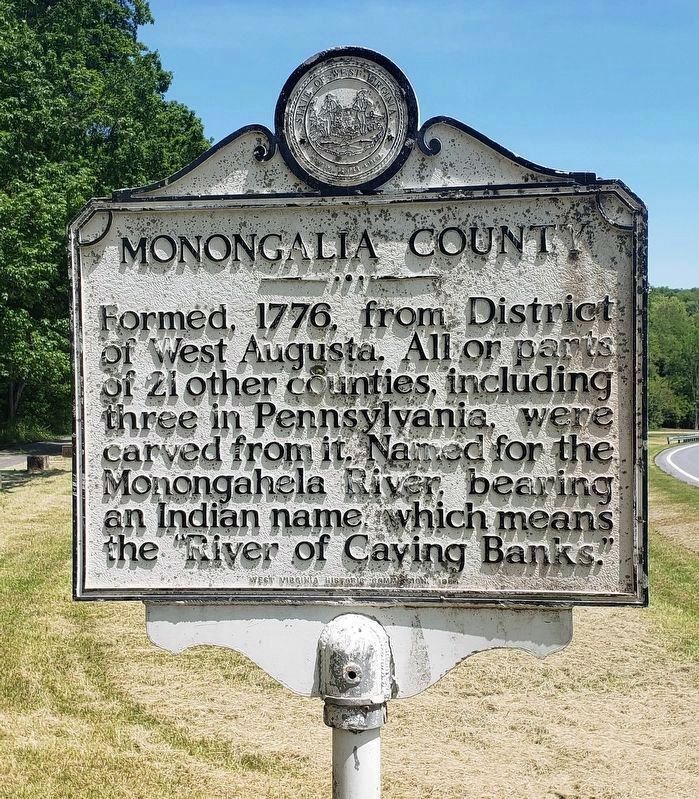
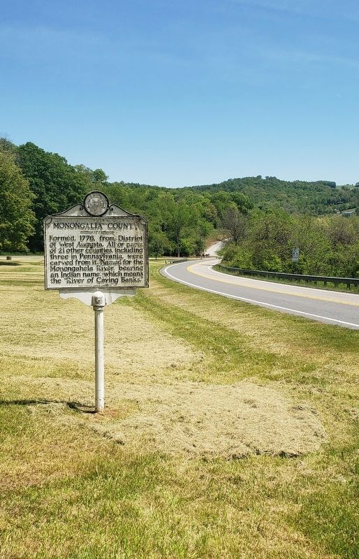
Monongalia County. Formed, 1776, from District of West Augusta. All or parts of 21 other counties, including three in Pennsylyania, were carved from it. Named for the Monongahela River, bearing an Indian name, which means the "River of Caving Banks."
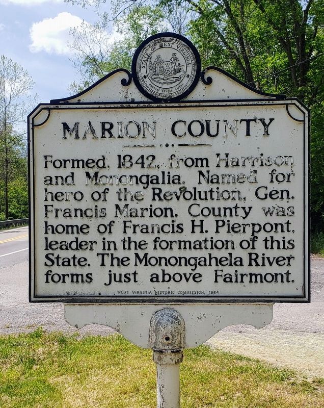
Marion County. Formed, 1842, from Harrison and Monongalia. Named for hero of the Revolution, Gen. Francis Marion. County was home of Francis H. Pierpont, leader in formation of this State. The Monongahela River forms just above Fairmont.
Erected 1964 by West Virginia Historic Commission.
Topics and series. This historical marker is listed in these topic lists: Political Subdivisions • War, US Revolutionary • Waterways & Vessels. In addition, it is included in the West Virginia Archives and History series list. A significant historical year for this entry is 1776.
Location. 39° 31.703′ N, 80° 3′ W. Marker is near Morgantown, West Virginia, in Monongalia County. Marker is on Smithtown Road (County Road 73) 0.1 miles south of Kisner Hill Road (County Road 73/13), on the right when traveling west. Touch for map. Marker is in this post office area: Fairmont WV 26554, United States of America. Touch for directions.
Other nearby markers. At least 8 other markers are within 3 miles of this marker, measured as the crow flies. Veterans Memorial (approx. 1.4 miles away); a different
Credits. This page was last revised on May 18, 2021. It was originally submitted on May 18, 2021, by Bradley Owen of Morgantown, West Virginia. This page has been viewed 130 times since then and 19 times this year. Last updated on May 18, 2021, by Bradley Owen of Morgantown, West Virginia. Photos: 1, 2, 3. submitted on May 18, 2021, by Bradley Owen of Morgantown, West Virginia. • Devry Becker Jones was the editor who published this page.


