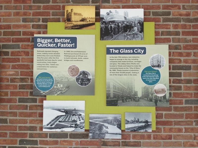
Bigger, Better, Quicker, Faster! / The Glass City
Bigger, Better, Quicker, Faster!
Railroads signaled changing times, making canals obsolete before they were even finished. Only five years after the first spadesful had been dug for canal construction, trains began rolling into Ohio. Toledo was a destination for numerous railroad lines.
In 1848, Erie and Kalamazoo Railroad purchased 30 acres of Middlegrounds at $70 per acre to build railroads, docks, station bridges and roundhouses.
Did you know?
Some grain elevators allowed
railroad cars to run directly into
them for greater loading and
unloading efficiency. In 1888,
12 grain elevators stood
on the Middlegrounds.
The Glass City
In the late 19th century, new industries
began to emerge in the city, including
companies that made furniture, carriages
and glass. The Libbey Glass Works was
located in Toledo and helped to make the
community known as the "City of Glass."
By 1880, Toledo boasted a population
of more than 50,000 people, making it
one of the largest cities in the state.
Did you know?
Our Glass City is
connected to the geology
of the Oak Openings region.
Sand is the main ingredient
of manufactured
glass.
Topics. This historical marker is listed in these topic lists: Industry & Commerce
Location. 41° 38.36′ N, 83° 32.115′ W. Marker is in Toledo, Ohio, in Lucas County. It is in Southside. Marker is on Ottawa Street, 0.2 miles south of Clayton Street (Ohio Route 52), on the right when traveling north. Touch for map. Marker is at or near this postal address: 111 Ottawa St, Toledo OH 43604, United States of America. Touch for directions.
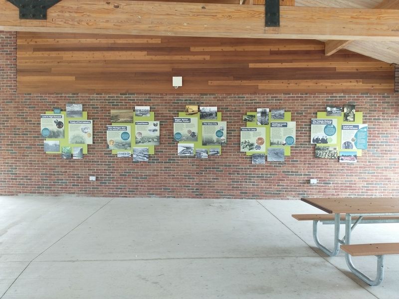
Other nearby markers. At least 8 other markers are within walking distance of this marker. Home To Jeep / Middlegrounds Metropark (here, next to this marker); The Toledo Rotary: Service Above Self / Local and Global Actions (here, next to this marker); Ohio-Michigan War: A War Without Casualties / Canal Boom (here, next to this marker); Land in High Demand / Treaty of Fort Industry (here, next to this marker); Don't Let This Bridge Leave You In Suspense! (about 400 feet away, measured in a direct line); The Oliver House (approx. 0.3 miles away); Erie and Kalamazoo Railroad / Toledo As A Rail Center (approx. 0.3 miles away); Basset's Nut Co. (approx. 0.6 miles away). Touch for a list and map of all markers in Toledo.
Credits. This page was last revised on February 4, 2023. It was originally submitted on May 19, 2021, by Craig Doda of Napoleon, Ohio. This page has been viewed 133 times since then and 8 times this year. Photos: 1, 2, 3. submitted on May 19, 2021, by Craig Doda of Napoleon, Ohio. • Devry Becker Jones was the editor who published this page.


