Waterville in Lucas County, Ohio — The American Midwest (Great Lakes)
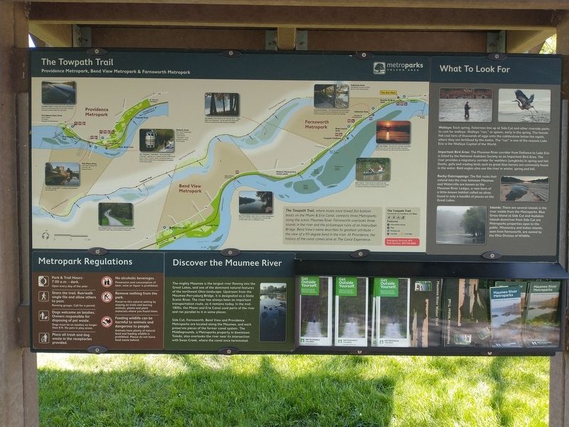
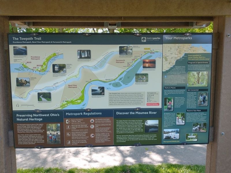
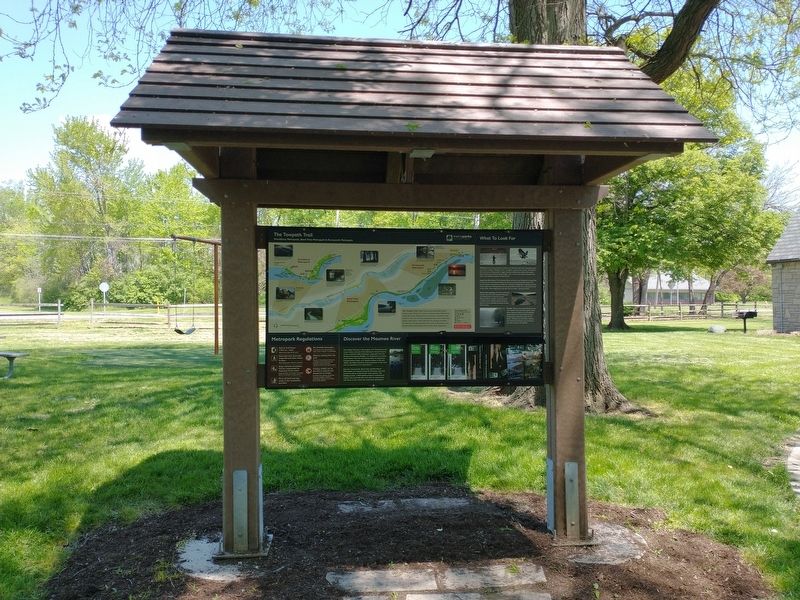
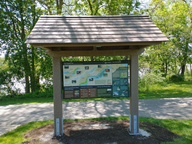
The Towpath Trail
Topics. This historical marker is listed in these topic lists: Animals • Bridges & Viaducts • Industry & Commerce • Waterways & Vessels.
Location. 41° 29.218′ N, 83° 44.138′ W. Marker is in Waterville, Ohio, in Lucas County. Marker is at the intersection of South River Road (U.S. 24) and Waterville Monclova Road, on the right when traveling north on South River Road. Touch for map. Marker is at or near this postal address: 344 Anthony Wayne Trail, Waterville OH 43566, United States of America. Touch for directions.
Other nearby markers. At least 8 other markers are within 2 miles of this marker, measured as the crow flies. Roche de Bout (within shouting distance of this marker); Fort Deposit / Roche de Bout (within shouting distance of this marker); Bowling Green Fault (approx. ¼ mile away); Ohio Electric Railroad Bridge / Roche De Bout, Roche De Boeuf (approx. 0.3 miles away); Stitt Park (approx. 0.8 miles away); a different marker also named The Towpath Trail (approx. one mile away); Waterville Civil War Monument (approx. one mile away); Fort Miamis Reserve/Miltonville (approx. 1.1 miles away). Touch for a list and map of all markers in Waterville.
Credits. This page was last revised on May 22, 2021. It was originally submitted on May 20, 2021, by Craig Doda of Napoleon, Ohio. This page has been viewed 166 times since then and 29 times this year. Photos: 1, 2, 3, 4. submitted on May 20, 2021, by Craig Doda of Napoleon, Ohio. • Devry Becker Jones was the editor who published this page.


