El Oro de Hidalgo, Mexico State, Mexico — The Central Highlands (North America)
The Mexican Golden Mile
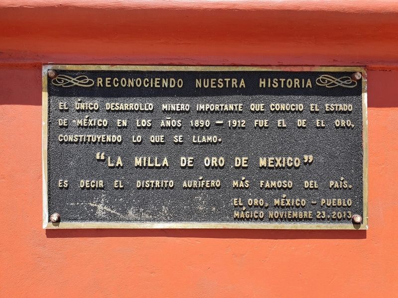
Reconociendo nuestra historia
⎯⎯⎯
Recognizing our history
Photographed by J. Makali Bruton, May 16, 2021
1. The Mexican Golden Mile Marker

A el único desarrollo minero que conoció el estado de México en los años 1890-1912 fue el de El Oro, constituyendo lo que se llamó “La milla de Oro de México”
Es decir el distrito aurífero más famoso del país.
El Oro, México – Pueblo Mágico
noviembre 23, 2013
The only mining development in the State of Mexico in the years 1890-1912 was El Oro, constituting what was called "Mexico's Golden Mile."
This was the most famous gold mining district in the country.
El Oro, Mexico – Pueblo Mágico
November 23, 2013
Topics. This historical marker is listed in this topic list: Industry & Commerce. A significant historical year for this entry is 1890.
Location. 19° 48.12′ N, 100° 7.836′ W. Marker is in El Oro de Hidalgo, Estado de Mexico (Mexico State). It is on Constitución just north of Galeana, on the left when traveling north. Touch for map. Marker is in this post office area: El Oro de Hidalgo MEX 50600, Mexico. Touch for directions.

Regionally, this marker is in Central Mexico and specifically in Mexico City Metropolitan Area. Globally, it is in North America, specifically in Mesoamerica, on the Ring
this page online
Other nearby markers. At least 8 other markers are within walking distance of this marker: El Oro de Hidalgo (here, next to this marker); Hacienda de Tultenango (here, next to this marker); Manuel Somera y Piña (a few steps from this marker); The Founding of El Oro de Hidalgo (a few steps from this marker); El Real del Oro (a few steps from this marker); Chamber of Commerce (within shouting distance of this marker); Hidalgo and Rayón in El Oro (within shouting distance of this marker); "Sor Juana Inés de la Cruz" Primary School (within shouting distance of this marker). Touch for a list and map of all markers in El Oro de Hidalgo.
Also see . . . El Oro de Hidalgo at Wikipedia. (Submitted on May 20, 2021, by J. Makali Bruton of Washington, District of Columbia.)
Photographed by J. Makali Bruton, May 16, 2021
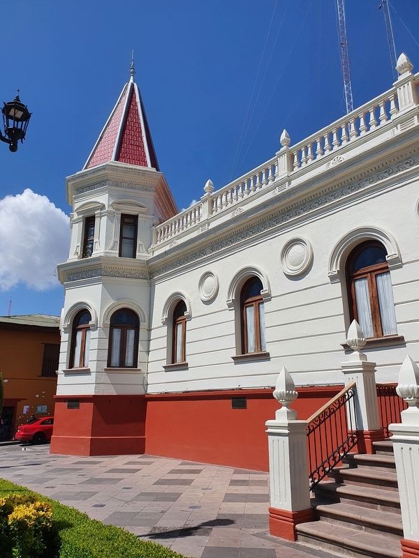
2. The Mexican Golden Mile Marker
The marker is on the right, with the Manuel Somera y Piña Marker to the far left.
Photographed by J. Makali Bruton, May 16, 2021
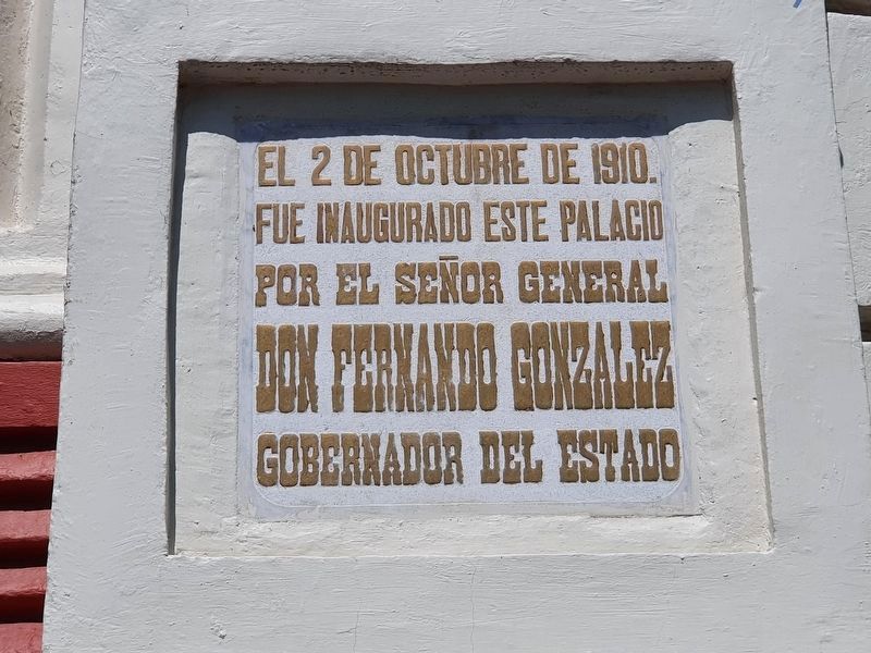
3. 1910 Palacio Municipal Cornerstone
The municipal headquarters was built during the main economic boom from gold mining in 1910. It reads: El 2 de octubre de 1910. Fue inaugurado este palacio por el Señor General Don Fernando Gonzalez Gobernador del Estado
Credits. This page was last revised on July 7, 2024. It was originally submitted on May 20, 2021, by J. Makali Bruton of Washington, District of Columbia. This page has been viewed 200 times since then and 23 times this year. Photos: 1, 2, 3. submitted on May 20, 2021, by J. Makali Bruton of Washington, District of Columbia.
