El Oro de Hidalgo, Mexico State, Mexico — The Central Highlands (North America)
El Oro and Ixtlahuaca
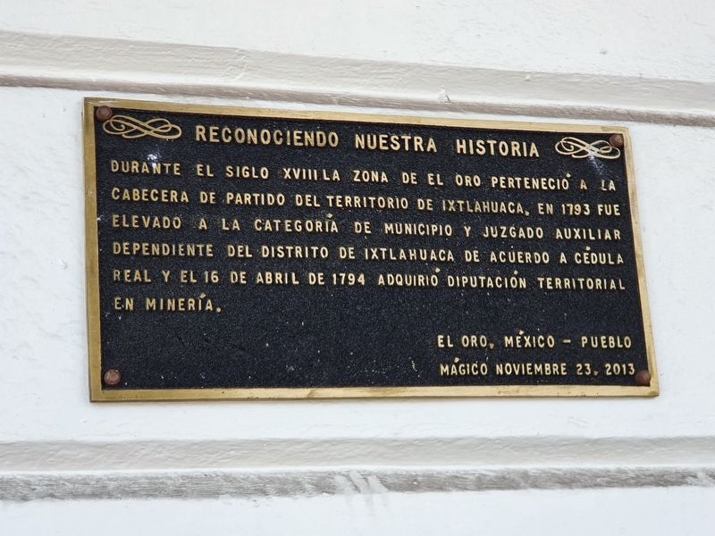
El Oro, México – Pueblo Mágico
noviembre 23, 2013
During the 18th century the area of El Oro belonged to the territorial capital of Ixtlahuaca, then in 1793 it was elevated to the category of municipality and to the auxiliary court dependent on the district of Ixtlahuaca according to a Royal Declaration and on April 16, 1794 it acquired the title of a territorial provincial mining area.
El Oro, Mexico – Pueblo Mágico
November 23, 2013
Erected 2013.
Topics. This historical marker is listed in this topic list: Political Subdivisions. A significant historical date for this entry is April 16, 1794.
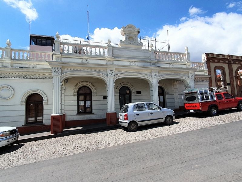
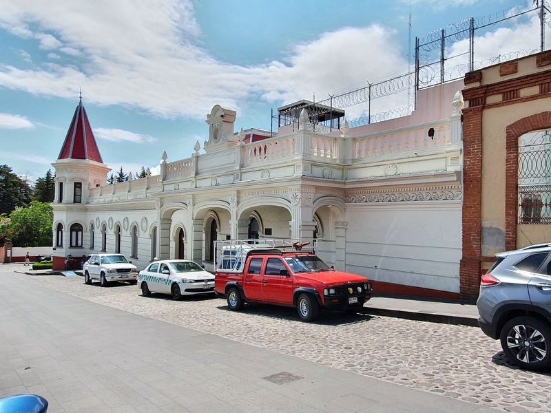
Location. 19° 48.135′ N, 100° 7.861′ W. Marker is in El Oro de Hidalgo, Estado de Mexico (Mexico State). Marker is on Lic. Benito Juárez just west of Constitución, on the left when traveling west. Touch for map. Marker is in this post office area: El Oro de Hidalgo MEX 50600, Mexico. Touch for directions.
Other nearby markers. At least 8 other markers are within walking distance of this marker. "Sor Juana Inés de la Cruz" Primary School (here, next to this marker); Juarez Theater (a few steps from this marker); El Oro Mexico (within shouting distance of this marker); Hidalgo and Rayón in El Oro (within shouting distance of this marker); El Real del Oro (within shouting distance of this marker); The Founding of El Oro de Hidalgo (within shouting distance of this marker); State Legislatures in El Oro (within shouting distance of this marker); Centennial Theatre (within shouting distance of this marker). Touch for a list and map of all markers in El Oro de Hidalgo.
Credits. This page was last revised on May 21, 2021. It was originally submitted on May 21, 2021, by J. Makali Bruton of Accra, Ghana. This page has been viewed 67 times since then and 5 times this year. Photos: 1, 2, 3. submitted on May 21, 2021, by J. Makali Bruton of Accra, Ghana.


