Near Middleburg in Loudoun County, Virginia — The American South (Mid-Atlantic)
Huntland
21896 Pot House Road
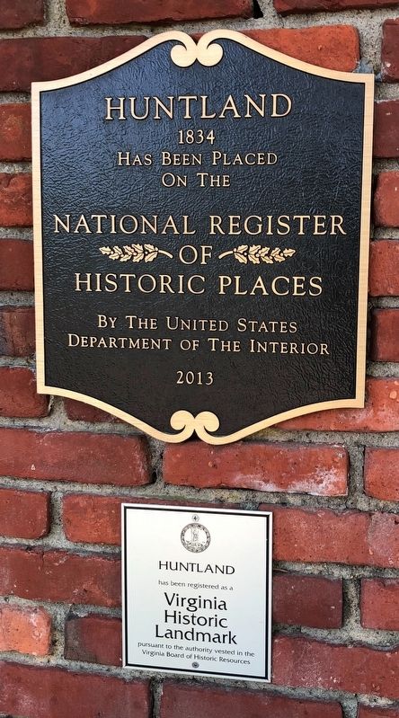
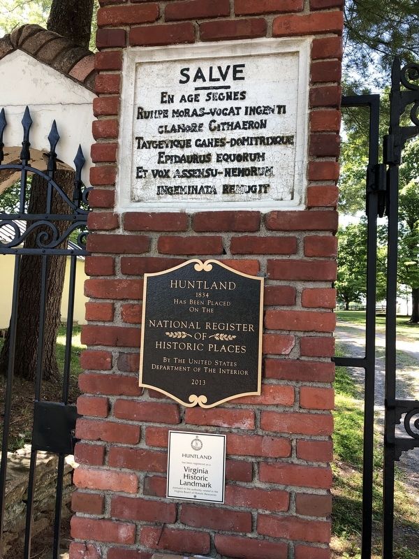
1834
has been placed
on the
National Register
of
Historic Places
by the United States
Department of the Interior
2013
Huntland
has been registered as a
Virginia
Historic
Landmark
pursuant to the authority vested in the
Virginia Board of Historic Resources
Topics. This historical marker is listed in this topic list: Architecture. A significant historical year for this entry is 1834.
Location. 39° 0.769′ N, 77° 45.603′ W. Marker is near Middleburg, Virginia, in Loudoun County. It is at the intersection of Pot House Road (Virginia Route 745) and Huntland Farm Road, on the right when traveling west on Pot House Road. Touch for map. Marker is at or near this postal address: 21896 Pot House Rd, Middleburg VA 20117, United States of America. Touch for directions.

Regionally, this marker is in the Washington Metropolitan Area and in Northern Virginia. It is also in the American South, specifically in the Upper South, and in the Mid-Atlantic. Globally, it is in North America, the Western Hemisphere, the Western World, and the Anglosphere. Historically, it finds itself in what was once the territory of the Mississippian Culture, one of the original Thirteen Colonies, one of the Confederate States of America, and the Antebellum South.
Other nearby markers. At least 8 other markers are within 4 miles of this marker, measured as the crow flies: History of St. Louis (approx. 1.3 miles away); The Battle of Unison (approx. 2.3 miles away); a different marker also named Battle of Unison (approx. 2.3 miles away); Hibbs Bridge (approx. 2.6 miles away); The Battle Concludes: Buford's Flanking Movement & Stuart's Withdrawal (approx. 3.1 miles away); Battle of Middleburg (approx. 3.1 miles away); Mt. Defiance, the Turnpike, and Middleburg (approx. 3.1 miles away); Phase Two of the Battle: Fighting Along the Turnpike
this page online
Also see . . . Huntland (Middleburg, Virginia). Wikipedia article (Submitted on May 22, 2021, by Devry Becker Jones of Washington, District of Columbia.)
Photographed by Linda Walcroft, May 20, 2025
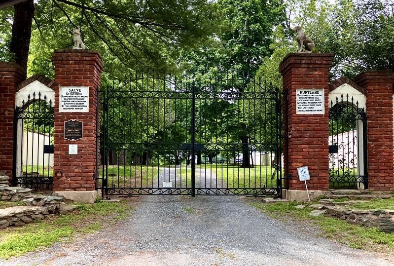
4. Wide View of Huntland Markers
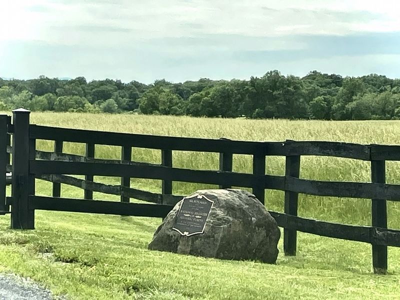
Photographed by Linda Walcroft, May 20, 2025
5. Duplicate Plaque at Rear Entrance
On Foxcroft Road and Huntland Farm Road
Credits. This page was last revised on May 22, 2025. It was originally submitted on May 22, 2021, by Devry Becker Jones of Washington, District of Columbia. This page has been viewed 660 times since then and 40 times this year. Photos: 1, 2, 3. submitted on May 22, 2021, by Devry Becker Jones of Washington, District of Columbia. 4, 5. submitted on May 20, 2025, by Linda Walcroft of Woodstock, Virginia.
