Port Lavaca in Calhoun County, Texas — The American South (West South Central)
Civil War Bombardment of Port Lavaca
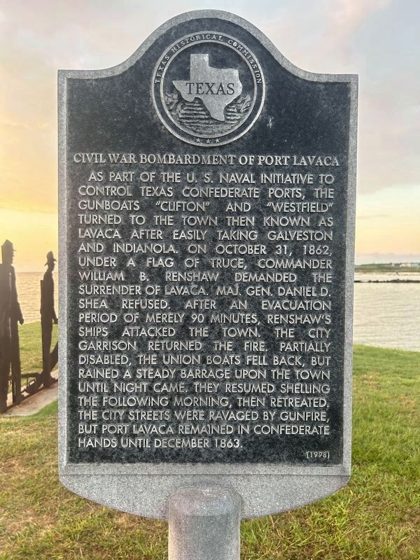
As part of the U. S. Naval initiative to control Texas Confederate ports, the gunboats "Clifton" and "Westfield" turned to the town then known as Lavaca after easily taking Galveston and Indianola. On October 31, 1862, under a flag of truce, Commander William B. Crenshaw demanded the surrender of Lavaca. Maj. Gen. Daniel D. Shea refused. After an evacuation period of merely 90 minutes, Renshaw's ships attacked the town. The city garrison returned the fire. Partially disabled, the Union boats fell back, but rained a steady barrage upon the town until night came. They resumed shelling the following morning, then retreated. The city streets were ravaged by gunfire, but Port Lavaca remained in Confederate hands until December 1863.
Erected 1998 by Texas Historical Commission and the Calhoun County Historical Commission. (Marker Number 1186.)
Topics. This historical marker is listed in this topic list: War, US Civil. A significant historical year for this entry is 1862.
Location. 28° 37.094′ N, 96° 37.251′ W. Marker is in Port Lavaca, Texas, in Calhoun County. The marker is located on the southeastern edge of Bayfront Peninsula Park. Touch for map. Marker is in this post office area: Port Lavaca TX 77979, United States of America. Touch for directions.
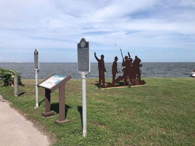
Other nearby markers. At least 8 other markers are within walking distance of this marker. Naval Shelling of Lavaca (here, next to this marker); Civil War Torpedo Works (here, next to this marker); Beach Hotel (approx. ¼ mile away); Wood Barrels of Cement (approx. 0.3 miles away); Grace Episcopal Church (approx. 0.3 miles away); Ranger Cemetery (approx. 0.4 miles away); Alsatian Immigration through Lavaca Bay (approx. 0.4 miles away); San Antonio & Mexican Gulf Railroad (approx. 0.4 miles away). Touch for a list and map of all markers in Port Lavaca.
More about this marker. The marker must have been moved in recent years, as it is not at the location given in the Texas Historical Commission's Atlas Map.
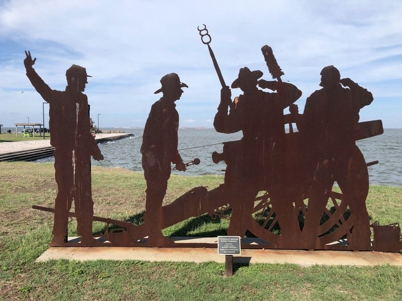
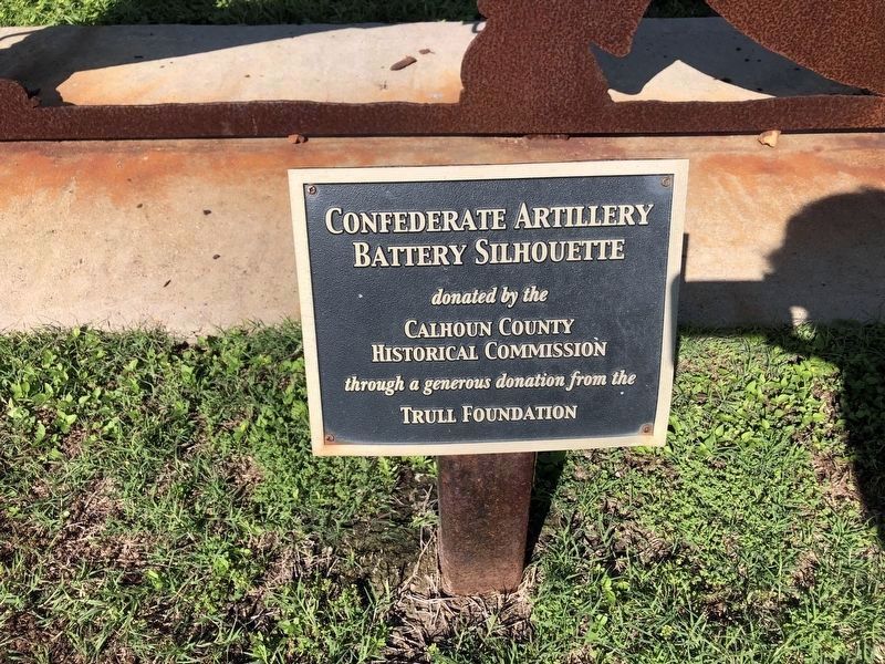
Regarding Civil War Bombardment of Port Lavaca. Behind the marker is a large steel silhouette, showing a scene from the bombardment mentioned in the featured historical marker.
Related marker. Click here for another marker that is related to this marker.
Credits. This page was last revised on June 12, 2023. It was originally submitted on May 2, 2021, by Chris Kneupper of Brazoria, Texas. This page has been viewed 484 times since then and 94 times this year. Last updated on May 22, 2021, by Chris Kneupper of Brazoria, Texas. Photos: 1. submitted on June 11, 2023, by Chris Kneupper of Brazoria, Texas. 2, 3, 4, 5. submitted on May 2, 2021, by Chris Kneupper of Brazoria, Texas. • J. Makali Bruton was the editor who published this page.


