Dunkard Township near Bobtown in Greene County, Pennsylvania — The American Northeast (Mid-Atlantic)
Veterans Memorial
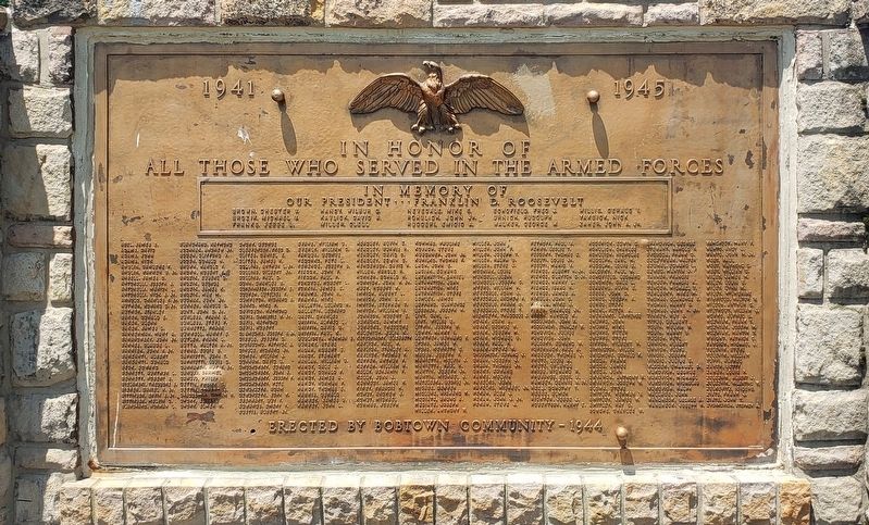
1941 - 1945
Photographed by Bradley Owen, May 21, 2021
1. Veterans Memorial
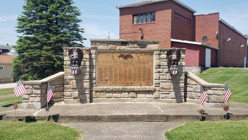
In Honor of all those who Served in the Armed Forces
In Memory of our President • • • Franklin D. Roosevelt
Brown, Chester V. • Brozik, Michael V. • Franks, Jesse L. • Handy, Wilbur D. • Kavlik, David A. • Miller, Clell • Nevedale, Mike S. • Rohulich, John Jr. • Rucceri, Emidio A. • Schofield, Fred J. • Urnich, Rudolph • Walker, George W. • Willis, Gerald I. • Yaksick, Nick • Zaher, John A. Jr.
Erected by Bobtown Community - 1944
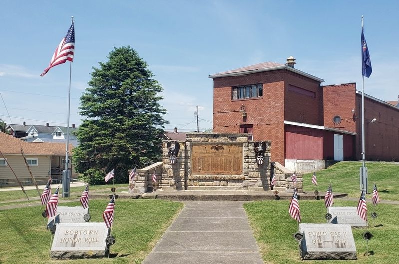
Erected 1944 by Bobtown Community.
Topics. This memorial is listed in this topic list: Military.
Location. 39° 45.687′ N, 79° 58.897′ W. Memorial is near Bobtown, Pennsylvania, in Greene County. It is in Dunkard Township. It is at the intersection of Bobtown Hill Road (Pennsylvania Route 2012) and Larimer Avenue, on the left when traveling east on Bobtown Hill Road. Touch for map. Memorial is at or near this postal address: 54 Larimer Ave, Bobtown PA 15315, United States of America. Touch for directions.

Regionally, this memorial is in the American Northeast, in the Mid-Atlantic, in Appalachia, and specifically in Northern Appalachia.
this page online
Other nearby markers. At least 8 other markers are within 3 miles of this marker, measured as the crow flies: Friendship Hill Trail System (approx. 2.8 miles away); Monongahela River (approx. 2.8 miles away); a different marker also named Friendship Hill Trail System (approx. 2.8 miles away); a different marker also named Preserving the 1910 Landscape (approx. 2.8 miles away); Sophia Allegre Gallatin (approx. 2.8 miles away); Stone Cistern (approx. 2.9 miles away); Friendship Hill (approx. 2.9 miles away); a different marker also named Friendship Hill Trail System (approx. 2.9 miles away).
Another marker is no longer nearby. Preserving the 1910 Landscape (was approx. 2.8 miles away but has been permanently removed).
Photographed by Bradley Owen, May 21, 2021
2. Veterans Memorial
Photographed by Bradley Owen, May 21, 2021
3. Veterans Memorial
Credits. This page was last revised on February 7, 2023. It was originally submitted on May 22, 2021, by Bradley Owen of Morgantown, West Virginia. This page has been viewed 299 times since then and 22 times this year. Photos: 1, 2, 3. submitted on May 22, 2021, by Bradley Owen of Morgantown, West Virginia. • Bill Pfingsten was the editor who published this page.
