Grixdale Farms in Detroit in Wayne County, Michigan — The American Midwest (Great Lakes)
The First Mile of Concrete Highway
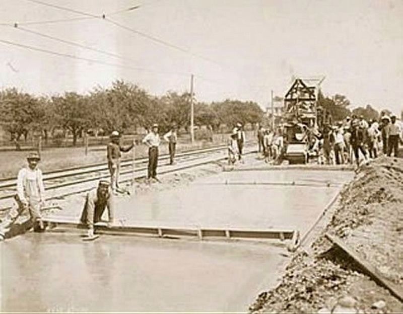
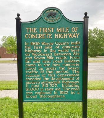
In 1909 Wayne County built the first mile of concrete highway in the world here on Woodward between Six and Seven Mile Roads. From far and near road builders came to see how concrete stood up under the heavy traffic of that period. The success of this experiment speeded the development of modern automobile highways. It cost $13,537, including $1,000 in state aid. The road was replaced in 1922 by a broad thoroughfare.
Erected 1957 by Michigan Historical Commission. (Marker Number 123.)
Topics. This historical marker is listed in this topic list: Roads & Vehicles. A significant historical year for this entry is 1909.
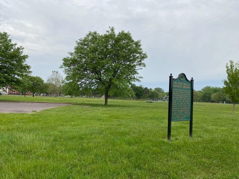
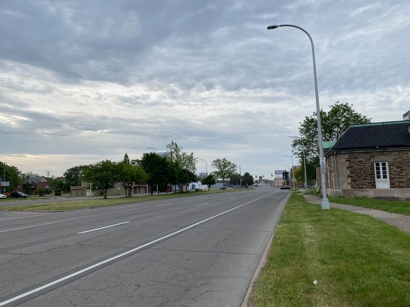
Location. 42° 25.256′ N, 83° 6.483′ W. Marker is in Detroit, Michigan, in Wayne County. It is in Grixdale Farms. Marker is at the intersection of Woodward Avenue and West Longwood Place, on the right when traveling south on Woodward Avenue. Located in Palmer Park along Woodward Avenue. Touch for map. Marker is at or near this postal address: 910 Merrill Plaisance St, Highland Park MI 48203, United States of America. Touch for directions.
Other nearby markers. At least 8 other markers are within 2 miles of this marker, measured as the crow flies. Woodward Ave. Toll Gates (about 700 feet away, measured in a direct line); Home of Model T (approx. 0.9 miles away); Highland Park Plant (approx. one mile away); Bishop's Residence (approx. 1.4 miles away); World War I Memorial Clock Tower (approx. 1.6 miles away); James Smith House (approx. 1.8 miles away); Michigan's First Tri-level Intersection (approx. 2 miles away); Conant Gardens (approx. 2.1 miles away). Touch for a list and map of all markers in Detroit.

via Michigan in Pictures, 1909
4. April 20, 1909: The world’s first mile of concrete highway
Michigan in Pictures website entry
Click for more information.
Click for more information.
Credits. This page was last revised on February 12, 2023. It was originally submitted on May 23, 2021, by J.T. Lambrou of New Boston, Michigan. This page has been viewed 953 times since then and 122 times this year. Photos: 1, 2, 3. submitted on May 23, 2021, by J.T. Lambrou of New Boston, Michigan. 4. submitted on April 20, 2022, by Larry Gertner of New York, New York. • Mark Hilton was the editor who published this page.


