Comanche in Comanche County, Texas — The American South (West South Central)
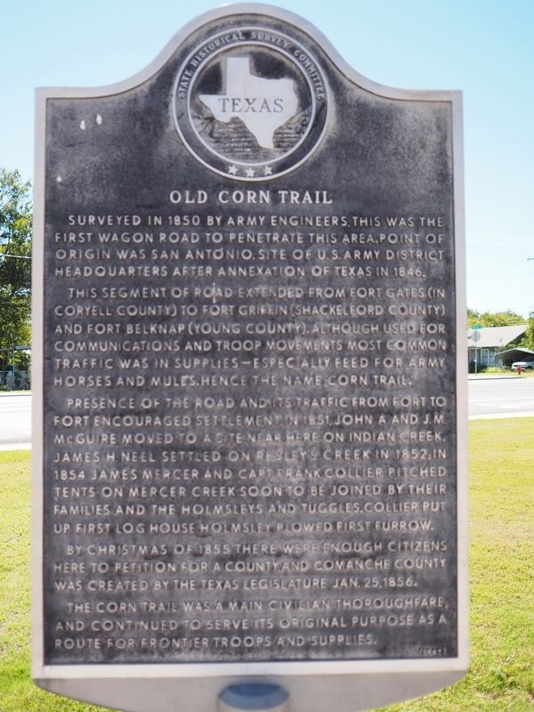
Old Corn Trail
Surveyed in 1850 by Army engineers, this was the first wagon road to penetrate this area. Point of origin was San Antonio, site of U.S. Army District Headquarters after annexation of Texas in 1846.
This segment of road extended from Fort Gates (in Coryell County) to Fort Griffin (Shackelford County) and Fort Belknap (Young County). Although used for communications and troop movements, most common traffic was in supplies--especially feed for Army horses and mules. Hence the name "Corn Trail."
Presence of the road and its traffic from fort to fort encouraged settlement. In 1851 John A. and J. M. McGuire moved to a site near here on Indian Creek. James H. Neel settled on Resley's Creek in 1852; in 1854 James Mercer and Capt. Frank Collier pitched tents on Mercer Creek, soon to be joined by their families and the Holmsleys and Tuggles. Collier put up first log house; Holmsley plowed first furrow.
By Christmas of 1855 there were enough citizens here to petition for a county, and Comanche County was created by the Texas Legislature Jan. 25, 1856.
The Corn Trail was a main civilian thoroughfare, and continued to serve its original purpose as a route for frontier troops and supplies.
Erected 1967 by State Historical Survey Committee. (Marker Number 3712.)
Topics. This historical marker is listed in these topic lists: Forts and Castles • Native Americans • Railroads & Streetcars • Settlements & Settlers. A significant historical year for this entry is 1850.
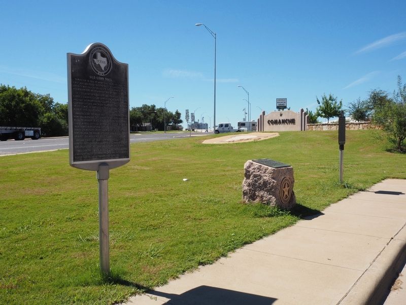
Location. 31° 53.856′ N, 98° 36.846′ W. Marker is in Comanche, Texas, in Comanche County. Marker is on West Central Avenue west of South 9th Street, on the right when traveling west. Touch for map. Marker is in this post office area: Comanche TX 76442, United States of America. Touch for directions.
Other nearby markers. At least 8 other markers are within walking distance of this marker. Comanche County (here, next to this marker); T. O. Moore (approx. ¼ mile away); Confederate Texas Poet Mollie E. Moore (approx. ¼ mile away); The Comanche Chief (approx. half a mile away); Durham Building (approx. half a mile away); Ritz Theater Building (approx. half a mile away); The Chilton-Harelik Building (approx. half a mile away); Huett Building and Carrera Glass (approx. half a mile away). Touch for a list and map of all markers in Comanche.
Credits. This page was last revised on May 23, 2021. It was originally submitted on May 23, 2021, by Richard Denney of Austin, Texas. This page has been viewed 314 times since then and 62 times this year. Photos: 1, 2. submitted on May 23, 2021, by Richard Denney of Austin, Texas. • J. Makali Bruton was the editor who published this page.

