Near Mount Clare in Harrison County, West Virginia — The American South (Appalachia)
Center Branch Church

circa December 2008
1. Center Branch Church Marker
Topics. This historical marker is listed in this topic list: Religion & Religious Structures. A significant historical year for this entry is 1818.
Location. 39° 14.822′ N, 80° 18.874′ W. Marker is near Mount Clare, West Virginia, in Harrison County. It is on Buckhannon Pike (West Virginia Route 20) 0.4 miles south of Cost Avenue ( Route 58), on the left when traveling south. Touch for map. Marker is in this post office area: Mount Clare WV 26408, United States of America. Touch for directions.

Regionally, this marker is in West Virginia’s Little Kanawha Valley. It is also in the American South, specifically in the Upper South, in Appalachia, and specifically in Northern Appalachia. Globally, it is in North America, the Western Hemisphere, the Western World, and the Anglosphere. Historically, it finds itself in what was once the territory of the Mississippian Culture.
Other nearby markers. At least 8 other markers
this page online
Photographed by J. J. Prats, April 11, 2021
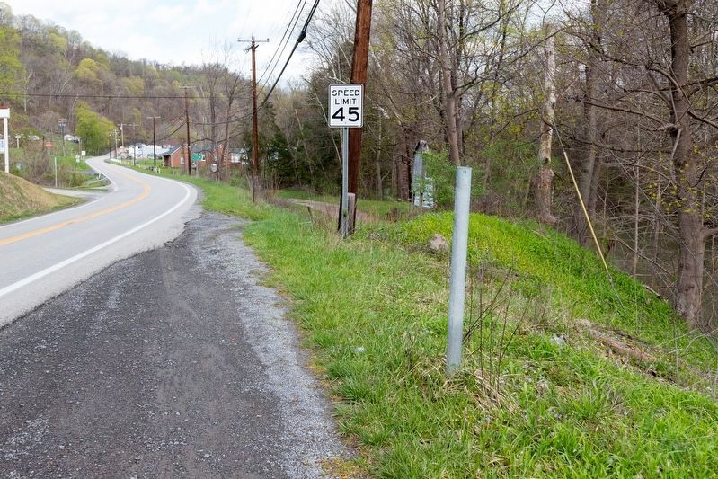
2. Center Branch Church Marker Pole
This pole is what remains of this historical marker.
Photographed by J. J. Prats, April 11, 2021
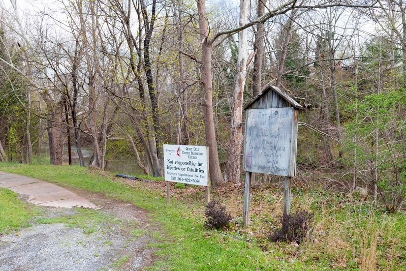
3. Center Branch Oldest Baptism
The wooden sign just north of the marker’s location reads, “Center Branch, Oldest Baptism In Harrison County Since September 24, 1818. Quiet Dell United Methodist Church.”
Photographed by J. J. Prats, April 11, 2021
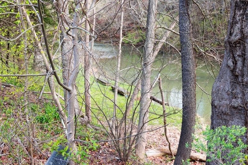
4. Center Branch Baptism Location on Elk Creek
This view is from where the marker used to be.
Photographed by J. J. Prats, May 30, 2021
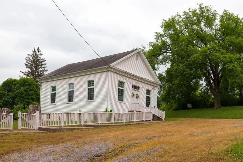
5. Center Branch Church
The church is on Turkey Run Road, across the road from the marker’s location.
Credits. This page was last revised on July 23, 2025. It was originally submitted on May 23, 2021, by J. J. Prats of Powell, Ohio. This page has been viewed 554 times since then and 51 times this year. Photos: 1. submitted on July 21, 2025, by Tara Carder of Nutter Fort, West Virginia. 2, 3, 4. submitted on May 23, 2021, by J. J. Prats of Powell, Ohio. 5. submitted on June 2, 2021, by J. J. Prats of Powell, Ohio.
