El Oro de Hidalgo, Mexico State, Mexico — The Central Highlands (North America)
El Oro Mining and Railway
Reconociendo nuestra historia
⎯⎯⎯
Recognizing our history
Photographed by J. Makali Bruton, May 16, 2021
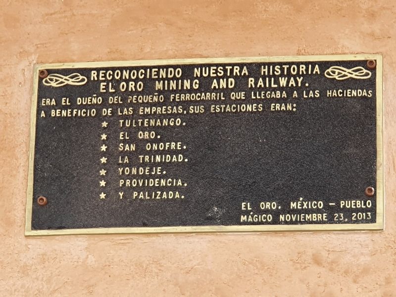
1. El Oro Mining and Railway Marker

El Oro Mining and Railway.
Era el dueño del pequeño ferrocarril que llegaba a las haciendas a beneficio de las empresas, sus estaciones eran:
· Tultenango. · El Oro. · San Onofre. · La Trinidad. · Yondeje. · Providencia. · y Palizada.
El Oro, México – Pueblo Mágico
noviembre 23, 2013
El Oro Mining and Railway.
This company owned the small railway that reached the nearby haciendas for the benefit of the companies, its stations were:
· Tultenango. · El Oro. · San Onofre. · La Trinidad. · Yondeje. · Providencia. · and Palizada.
El Oro, Mexico - Magic Village
November 23, 2013
Erected 2013.
Topics. This historical marker is listed in these topic lists: Industry & Commerce • Railroads & Streetcars.
Location. 19° 48.085′ N, 100° 7.958′ W. Marker is in El Oro de Hidalgo, Estado de Mexico (Mexico State). It is on Avenida Ferrocarril just west of Lic. Benito Juárez, on the right when traveling west. Touch for map. Marker is in this post office area: El Oro de Hidalgo MEX 50600, Mexico. Touch for directions.

Regionally, this marker is in Central
this page online
Other nearby markers. At least 8 other markers are within walking distance of this marker: El Oro Historical Monuments Area (here, next to this marker); Inauguration of the Railroad in El Oro (a few steps from this marker); Old Railway Station (a few steps from this marker); Authorization of the Railroad in El Oro (a few steps from this marker); a different marker also named Old Railway Station (within shouting distance of this marker); Commercial Activity in El Oro (within shouting distance of this marker); Murphy's Bullring (about 120 meters away, measured in a direct line); El Oro Club (about 150 meters away). Touch for a list and map of all markers in El Oro de Hidalgo.
Photographed by J. Makali Bruton, May 16, 2021
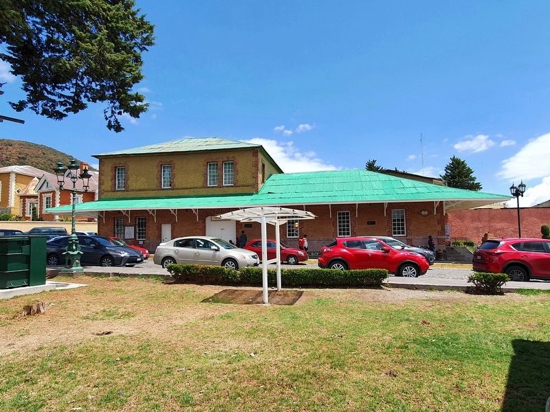
2. El Oro Mining and Railway Marker
The marker is to the far right in this view of the Old Railway Station of El Oro.
Credits. This page was last revised on July 7, 2024. It was originally submitted on May 23, 2021, by J. Makali Bruton of Washington, District of Columbia. This page has been viewed 627 times since then and 62 times this year. Photos: 1, 2. submitted on May 23, 2021, by J. Makali Bruton of Washington, District of Columbia.
