Near Berlin in Lewis County, West Virginia — The American South (Appalachia)
John Hacker’s Settlement
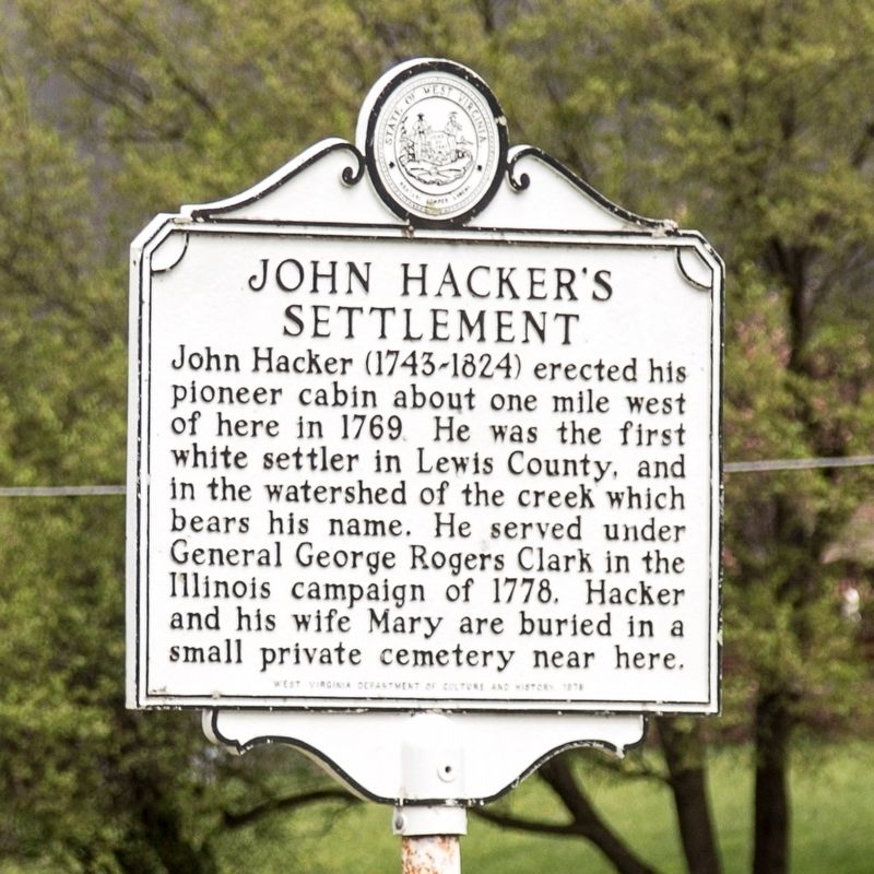
Photographed by J. J. Prats, April 11, 2021
1. John Hacker’s Settlement Marker
Erected 1976 by West Virginia Department of Culture and History.
Topics. This historical marker is listed in these topic lists: Settlements & Settlers • War, US Revolutionary. A significant historical year for this entry is 1769.
Location. 39° 3.729′ N, 80° 22.05′ W. Marker is near Berlin, West Virginia, in Lewis County. It is on Hackers Creek Road (County Route 7) 0.7 miles north of Berlin Road, on the right when traveling north. Touch for map. Marker is at or near this postal address: 4422 Hackers Creek Rd, Jane Lew WV 26378, United States of America. Touch for directions.

Regionally, this marker is in North Central West Virginia. It is also in the American South, specifically in the Upper South, in Appalachia, and specifically in Northern Appalachia. Globally,
this page online
Other nearby markers. At least 8 other markers are within 6 miles of this marker, measured as the crow flies: Gen. Lightburn (approx. 3.9 miles away); Dedicated To All Veterans (approx. 3.9 miles away); First M.P. Church (approx. 4 miles away); Jackson’s Mill / Jackson Graves (approx. 4.7 miles away); Lorentz (approx. 4.7 miles away); Population Center (approx. 5 miles away); Graves of Heroes (approx. 5.2 miles away); Seizure of Weston Bank Funds (approx. 5.3 miles away).
Another marker is no longer nearby. Hacker's Creek / Jane Lew (was approx. 3.9 miles away but has been confirmed missing).
Also see . . .
1. Wikipedia entry for the Illinois Campaign.
The Illinois campaign, also known as Clark’s Northwestern campaign (1778-1779), was a series of events during the American Revolutionary War in which a small force of Virginia militiamen, led by George Rogers Clark, seized control of several British posts in the Illinois Country of the(Submitted on May 24, 2021.)Province of Quebec, in what are now Illinois and Indiana in the Midwestern United States. The campaign is the best-known action of the western theater of the war and the source of Clark’s reputation as an early American military hero.Photographed by J. J. Prats, April 11, 20212. John Hacker’s Settlement Marker
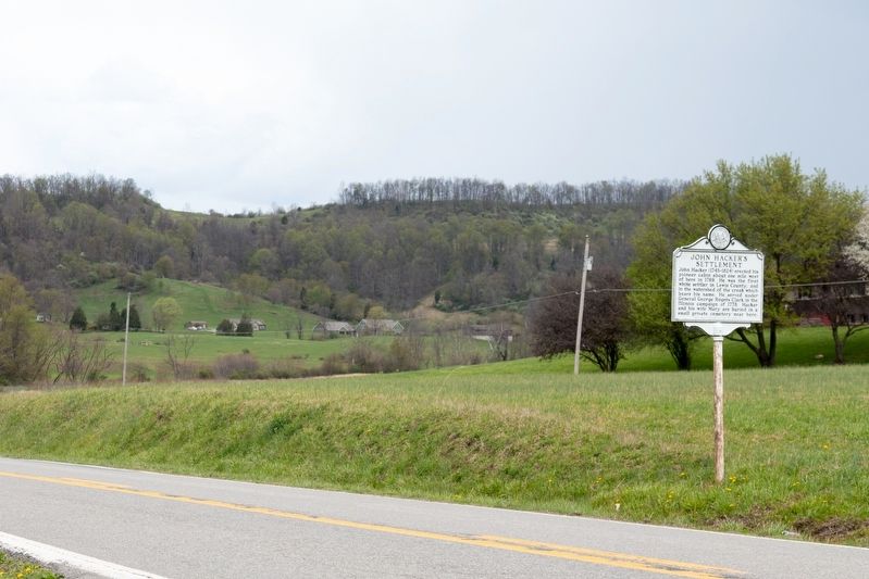
2. . (Submitted on May 24, 2021, by J. J. Prats of Powell, Ohio.)
Credits. This page was last revised on May 24, 2021. It was originally submitted on May 24, 2021, by J. J. Prats of Powell, Ohio. This page has been viewed 877 times since then and 76 times this year. Photos: 1, 2. submitted on May 24, 2021, by J. J. Prats of Powell, Ohio.
