Fort Atkinson in Winneshiek County, Iowa — The American Midwest (Upper Plains)
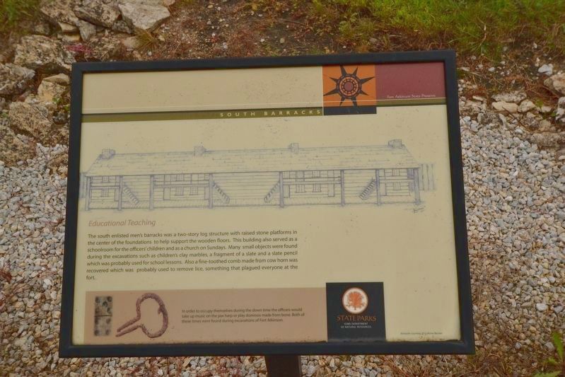
South Barracks
Educational Teaching
| — | Fort Atkinson State Preserve | — |
August 17, 2017
1. South Barracks Marker
Photo caption:
In order to occupy themselves during the down time the officers would take up music on the jaw harp or play dominos made from bone. Both of these items were found during excavations of Fort Atkinson.
Erected by Iowa Department of Natural Resources.
Topics. This historical marker is listed in these topic lists: Education • Forts and Castles • Religion & Religious Structures • Settlements & Settlers. A significant historical year for this entry is 1840.
Location. 43° 8.709′ N, 91° 56.376′ W. Marker is in Fort Atkinson, Iowa,
this page online

Regionally, this marker is in Northeast Iowa — the Driftless Area and in Eastern Iowa. It is also in the American Midwest, in the Corn Belt, and in the Driftless Area — Bluff Country. Globally, it is in North America, the Western Hemisphere, the Western World, and the Anglosphere. Historically, it finds itself in what was once the territory of the Mississippian Culture and also the Louisiana Purchase.
Other nearby markers. At least 8 other markers are within walking distance of this marker: East Officers' Quarters (within shouting distance of this marker); North Barracks (within shouting distance of this marker); Powder House (within shouting distance of this marker); Guard House (within shouting distance of this marker); The Block House (within shouting distance of this marker); Fort Atkinson (within shouting distance of this marker); Constructing Fort Atkinson (within shouting distance of this marker); Root House & Ice House (within shouting distance of this marker). Touch for a list and map of all markers in Fort Atkinson.
Credits. This page was last revised on May 26, 2021. It was originally submitted on May 24, 2021. This page has been viewed 181 times since then and 12 times this year. Photo 1. submitted on May 24, 2021. • Mark Hilton was the editor who published this page.
Editor’s want-list for this marker. A wide shot of the marker and its surroundings. • Can you help?
