Defreestville in Rensselaer County, New York — The American Northeast (Mid-Atlantic)
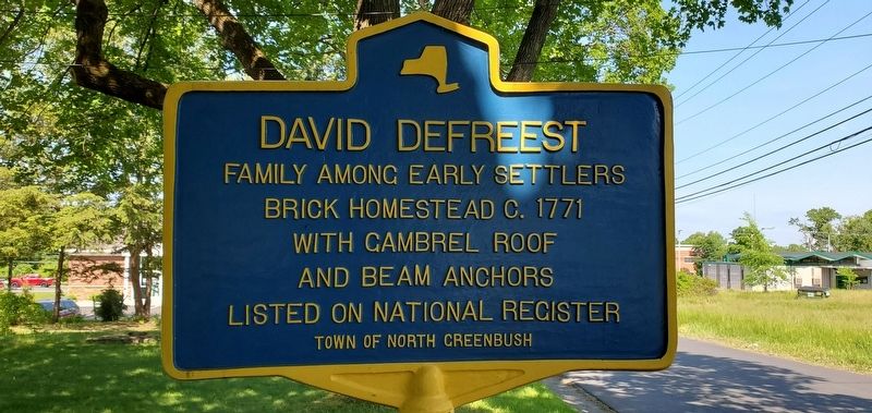
David Defreest
Brick Homestead c. 1771
with gambrel roof
and beam anchors
Listed on National Register
Town of North Greenbush
Topics. This historical marker is listed in these topic lists: Architecture • Colonial Era • Settlements & Settlers. A significant historical year for this entry is 1771.
Location. 42° 40.571′ N, 73° 41.366′ W. Marker is in Defreestville, New York, in Rensselaer County. Marker is on Jordan Road east of N Greenbush Road (U.S. 4), on the right when traveling east. Touch for map. Marker is at or near this postal address: 27 Jordan Road, Rensselaer NY 12144, United States of America. Touch for directions.
Other nearby markers. At least 8 other markers are within 2 miles of this marker, measured as the crow flies. Little Red Schoolhouse (approx. 1.2 miles away); Hudson River Islands (approx. 1˝ miles away); Al-Tro Park (approx. 1.6 miles away); Fort Crailo (approx. 1.6 miles away); Van Alen Home (approx. 1.6 miles away); Blooming Grove (approx. 1.7 miles away); Burden Iron Works (approx. 1.9 miles away); Troy Steel & Iron Co. (approx. 2 miles away). Touch for a list and map of all markers in Defreestville.
Regarding David Defreest. The marker is located in front of the original brick David Defreest House, constructed sometime between 1767 and 1771 as dated by dendrochronological analysis.
The brick section of the house was constructed using bricks imported from Holland used as ballast in trading vessels on the Hudson River. The attached Wooden House was built sometime between 1810 and 1820 for a Defreest daughter. The homes were originally built as separate homes, with no passage between them aside from exiting the front door and entering the front door of the adjoining house. Since that time two passage ways have been constructed.
The large gambrel barn on the property was constructed in the late 1800's - early 1900's where Route 4 is located today. The barn was later deconstructed, numbered, and rebuilt in its current location as part of the Route 4 construction in the late 1920s.
The home, barn and property is now a private residence.
Credits. This page was last revised on May 28, 2021. It was originally submitted on May 25, 2021, by Gabe Jaquish of Troy, New York. This page has been viewed 196 times since then and 21 times this year. Photo 1. submitted on May 25, 2021, by Gabe Jaquish of Troy, New York. • Michael Herrick was the editor who published this page.
Editor’s want-list for this marker. A wide view photo of the marker and its surroundings. • Can you help?
