Greenwood Springs in Monroe County, Mississippi — The American South (East South Central)
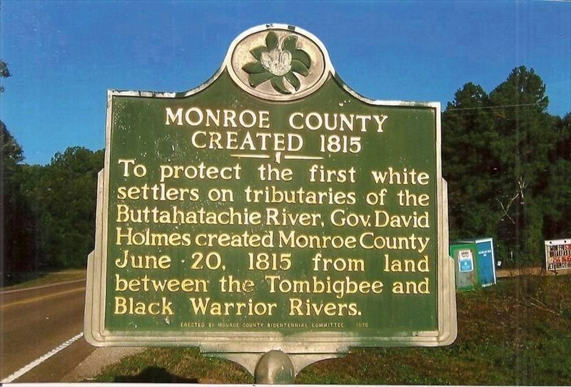
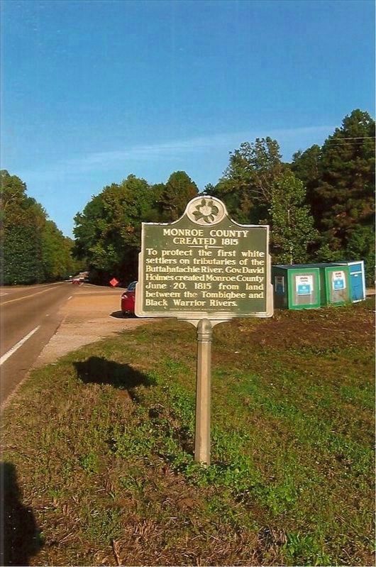
Monroe County Created 1815
Inscription.
To protect the first white settlers on tributaries of the Buttahatachie River, Gov. David Holmes created Monroe County June 20, 1815 from land between the Tombigbee and Black Warrior Rivers.
Erected 1976 by Monroe County Bicentennial Committee.
Topics. This historical marker is listed in these topic lists: Settlements & Settlers • Waterways & Vessels. A significant historical date for this entry is June 20, 1815.
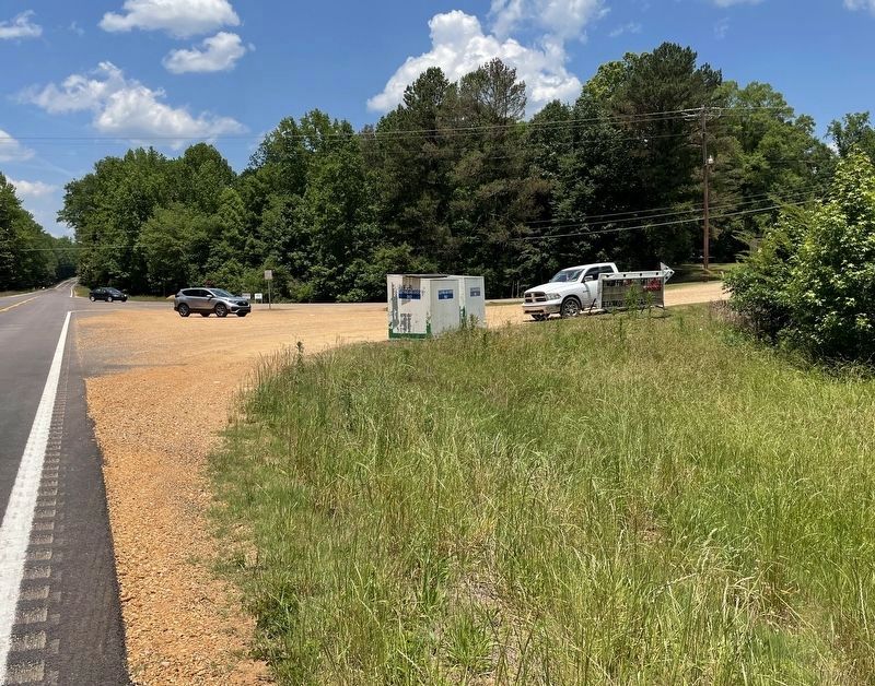
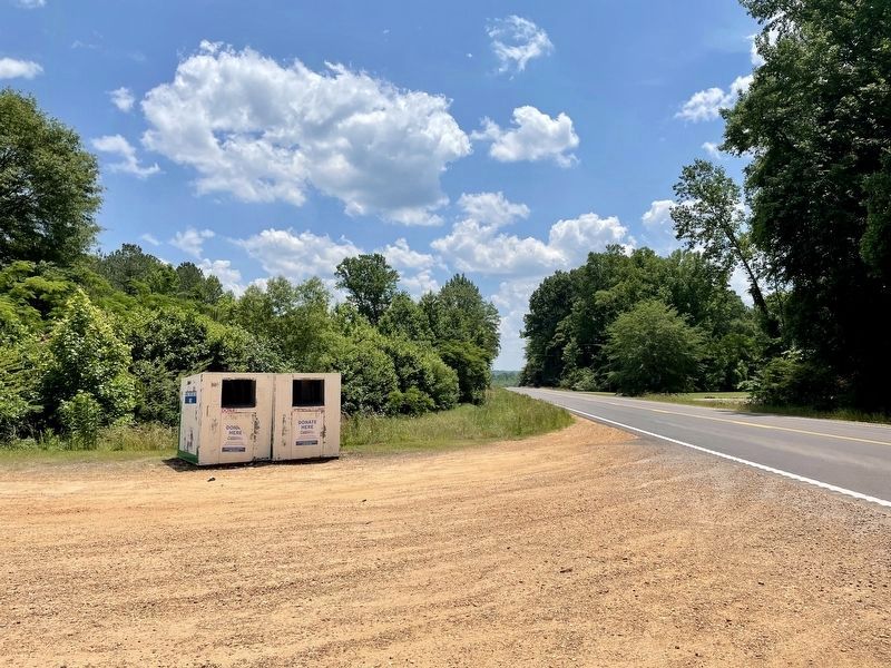
Location. Marker is missing. It was located near 33° 53.22′ N, 88° 18.49′ W. Marker was in Greenwood Springs, Mississippi, in Monroe County. Marker could be reached from U.S. 278 east of Splunge Road, on the left when traveling east. Touch for map. Marker was at or near this postal address: 50005 Splunge Rd, Greenwood Springs MS 38848, United States of America. Touch for directions.
Other nearby markers. At least 8 other markers are within 10 miles of this location, measured as the crow flies. Wise's Gap 1816 (approx. 1.7 miles away); Mormon Springs (approx. 4.2 miles away); Splunge Free Will Baptist Church (approx. 5.3 miles away); Center Point Church (approx. 5.8 miles away); Howell Cemetery (approx. 7.1 miles away); Athens (approx. 7.8 miles away); New Hope Church (approx. 8.9 miles away); Birth of Sulligent (approx. 10 miles away in Alabama).
Credits. This page was last revised on May 27, 2021. It was originally submitted on May 25, 2021, by Mark Hilton of Montgomery, Alabama. This page has been viewed 107 times since then and 9 times this year. Photos: 1. submitted on May 25, 2021. 2. submitted on May 27, 2021. 3, 4. submitted on May 25, 2021, by Mark Hilton of Montgomery, Alabama.


