Salem in Harrison County, West Virginia — The American South (Appalachia)
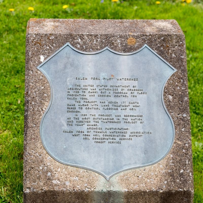
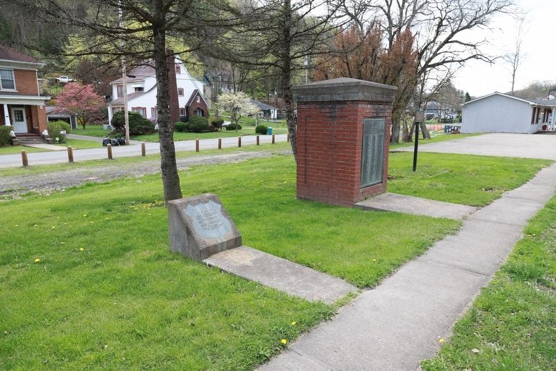
Salem Fork Pilot Watershed
The project was seven (7) earth dams along with land treatment measures to control flooding and soil erosion.
In 1959 the project was recognized as the most outstanding in the nation and received the “Watershed Project of the Year” award.
Agencies participating: Salem Fork of Tenmile Watershed Association • West Fork Soil Conservation District • Soil Conservation Service • Forest Service.
Erected 1959.
Topics. This historical marker is listed in this topic list: Waterways & Vessels. A significant historical year for this entry is 1953.
Location. 39° 16.979′ N, 80° 33.821′ W. Marker is in Salem, West Virginia, in Harrison County. Touch for map. Marker is in this post office area: Salem WV 26426, United States of America. Touch for directions.
Other nearby markers. At least 8 other markers are within 9 miles of this marker, measured as the crow flies. Melvin Mayfield (a few steps from this marker); Salem (a few steps from this marker); Salem at the Turn of the Century (approx. ¼ mile away); Salem Depot (approx. 0.3 miles away); Industrial Home for Girls (approx. 0.7 miles away); Seventh Day Baptist Cemetery (approx. 2.7 miles away); Greenbrier Church & Cemetery (approx. 2.7 miles away); Center Point Covered Bridge (approx. 8.3 miles away). Touch for a list and map of all markers in Salem.
Credits. This page was last revised on June 11, 2021. It was originally submitted on May 25, 2021, by J. J. Prats of Powell, Ohio. This page has been viewed 187 times since then and 38 times this year. Photos: 1, 2. submitted on May 25, 2021, by J. J. Prats of Powell, Ohio.

