Oakland in Yalobusha County, Mississippi — The American South (East South Central)
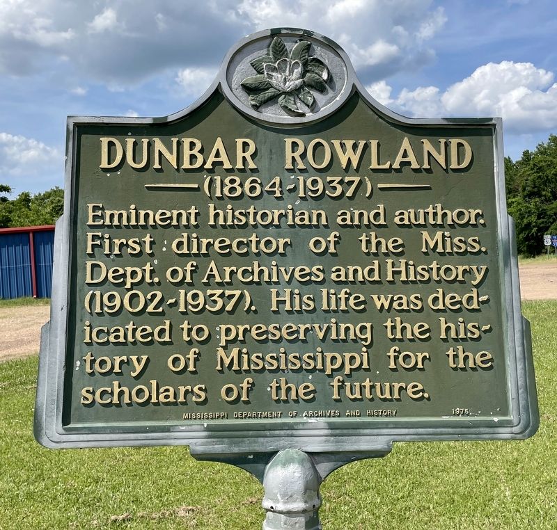
Dunbar Rowland
(1864-1937)
Photographed by Mark Hilton, May 23, 2021
1. Dunbar Rowland Marker
Erected 1975 by Mississippi Department of Archives and History.
Topics and series. This historical marker is listed in these topic lists: Communications • Education. In addition, it is included in the Mississippi State Historical Marker Program series list.
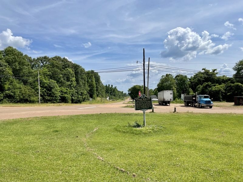
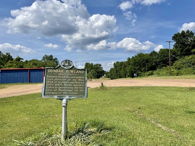
Location. 34° 3.343′ N, 89° 54.573′ W. Marker is in Oakland, Mississippi, in Yalobusha County. It is at the intersection of U.S. 51 and Hickory Street, on the right when traveling south on U.S. 51. Touch for map. Marker is at or near this postal address: 11825 US-51, Oakland MS 38948, United States of America. Touch for directions.

Regionally, this marker is in the North Mississippi Hills. It is also in the American South and specifically in the Deep South. Globally, it is in North America, a Gulf of Mexico state, the Western Hemisphere, the Western World, and the Anglosphere. Historically, it finds itself
this page online
Other nearby markers. At least 6 other markers are within 15 miles of this marker, measured as the crow flies: Battle of Oakland (approx. 0.9 miles away); Chickasaw - Choctaw Line (approx. 5½ miles away); New Hope Presbyterian Church (approx. 9.7 miles away); Governor Cliff Finch (approx. 13.4 miles away); Okachickima (approx. 13.6 miles away); Cascilla (approx. 14.8 miles away).
Also see . . . Wikipedia article on Dunbar Rowland. (Submitted on May 25, 2021, by Mark Hilton of Montgomery, Alabama.)
Photographed by Mark Hilton, May 23, 2021
2. Looking south on U.S. Highway 51.
Photographed by Mark Hilton, May 23, 2021
3. Looking North on U.S. Highway 51.
Photographed by PD-US ca 1905
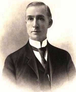
4. Dunbar Rowland (August 25, 1864 − November 1, 1937)
Credits. This page was last revised on May 25, 2021. It was originally submitted on May 25, 2021, by Mark Hilton of Montgomery, Alabama. This page has been viewed 343 times since then and 27 times this year. Photos: 1, 2, 3, 4. submitted on May 25, 2021, by Mark Hilton of Montgomery, Alabama.
