Dayton in Lyon County, Nevada — The American Mountains (Southwest)
Mound House
Photographed by Paulette Nelson, December 12, 2019
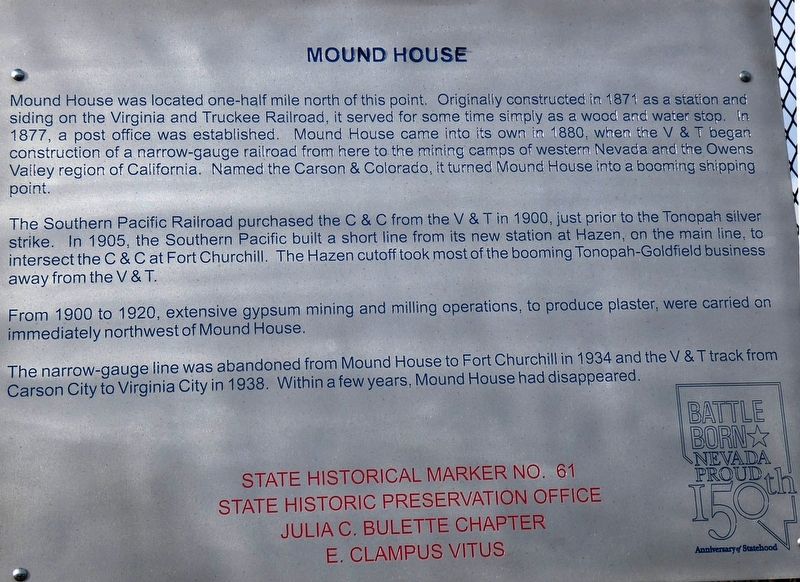
1. Mound House Marker
The Southern Pacific Railroad purchased the C & C from the V & T in 1900, just prior to the Tonopah silver strike. In 1905, the Southern Pacific built a short line from its new station at Hazen, on the main line, to intersect the C & C at Fort Churchill. The Hazen cutoff took most of the booming Tonopah-Goldfield business away from the V & T.
From 1900 to 1920, extensive gypsum mining and milling operations, to produce plaster, were carried on immediately northwest of Mound House.
The narrow-gauge line was abandoned from Mound House to Fort Churchill in 1934 and the V & T track from Carson City to Virginia
this page online
Erected by State Historic Preservation Office and Julia C. Bulette Chapter E Clampus Vitus. (Marker Number 61.)
Topics and series. This historical marker is listed in this topic list: Railroads & Streetcars. In addition, it is included in the E Clampus Vitus series list. A significant historical year for this entry is 1871.
Location. 39° 12.867′ N, 119° 40.163′ W. Marker is in Dayton, Nevada, in Lyon County. It is on Lincoln Highway (U.S. 50) just east of Bunnyranch Road, on the right when traveling west. Marker is located approximately 11 miles southwest of Dayton on the north side of the highway. Touch for map. Marker is in this post office area: Dayton NV 89403, United States of America. Touch for directions.

Regionally, this marker is in the Sierra Nevada and in Greater Reno Area. It is also in the American Mountain West. Globally, it is in North America, the Western Hemisphere, the Western World, and the Anglosphere. Historically, it finds itself in what was once New Spain and also Mexico’s Alta California.
Other nearby markers. At least 8 other markers
Photographed by Paulette Nelson, December 12, 2019
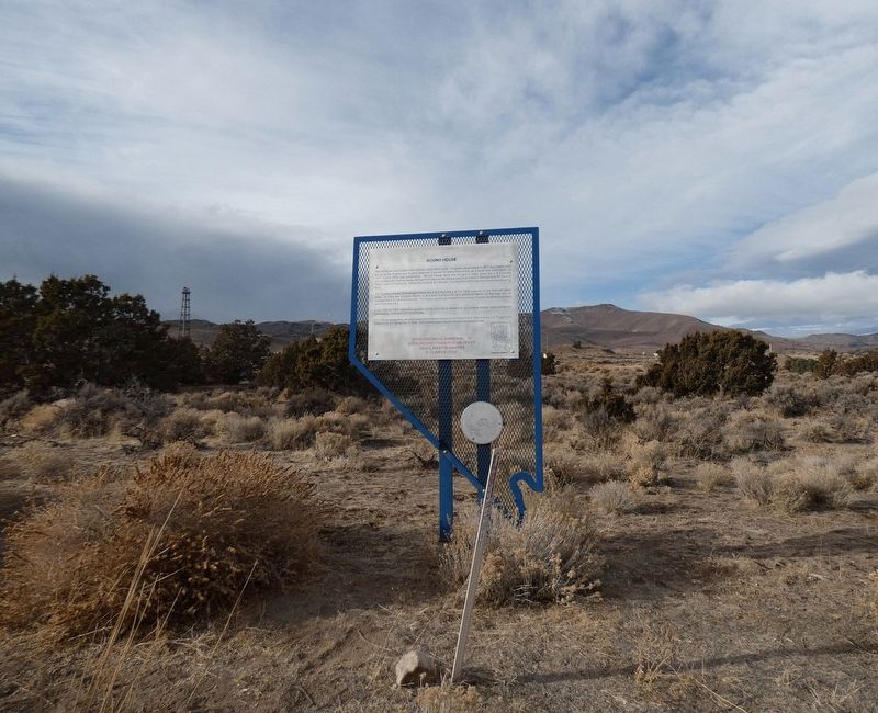
2. Mound House Marker
Credits. This page was last revised on May 25, 2021. It was originally submitted on December 17, 2019, by Paulette Nelson of N Las Vegas, Nevada. This page has been viewed 568 times since then and 58 times this year. Last updated on May 25, 2021, by Matthew J Ebert of Gerlach, NV. Photos: 1, 2. submitted on December 17, 2019, by Paulette Nelson of N Las Vegas, Nevada. • J. Makali Bruton was the editor who published this page.
