Mannington in Marion County, West Virginia — The American South (Appalachia)
Mannington / Flaggy Meadow
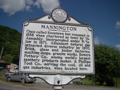
Mannington. Once called Koontown but renamed in 1856 when chartered as town by Va. Assembly. Incorporated under W. Va. law in 1871. Abundant natural gas attracted diverse industry by 1900. Brick, glass and boiler factories, machine shops, granite works, Bowers Pottery Co., among the world’s largest sanitary products maker, & Phillips Tool Co., serving coal, oil and gas industries, were located here.
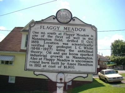
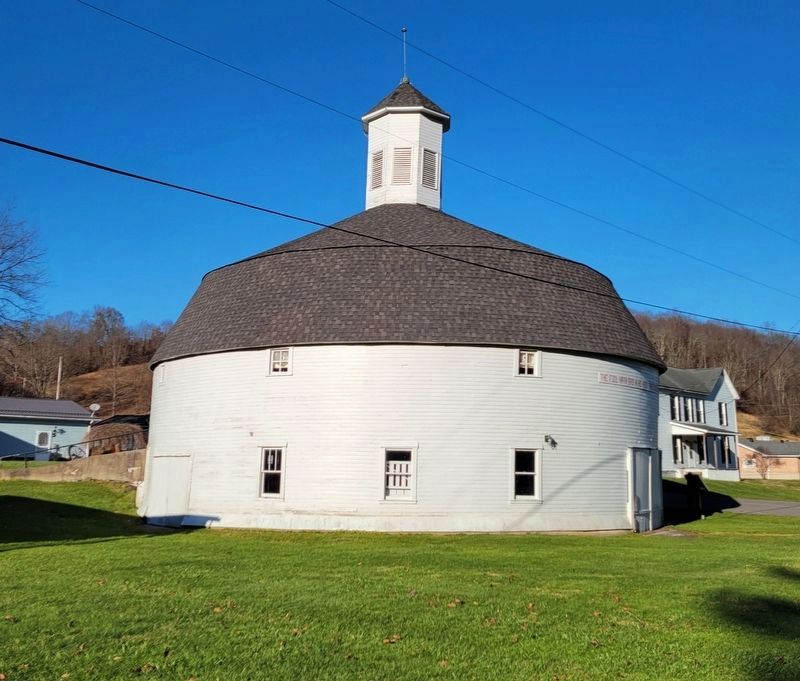
Flaggy Meadow. One mi. south at Flaggy Meadow is site of the first oil well in the Mannington field, drilled 11 Oct. 1889. Location was scientifically verified by geologist I. C. White (1848–1927) using the anticlinal theory. Oil and gas boom sparked industrial growth in Mannington. Also at Flaggy Meadow is uncommon round barn built by Amos Hamilton in 1912 at cost of $1,900.
Erected 1984 by West Virginia Department of Culture and History.
Topics and series. This historical marker is listed in these topic lists: Industry & Commerce • Natural Resources. In addition, it is included in the West Virginia Archives and History series list. A significant historical year for this entry is 1856.
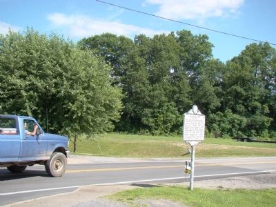
Location. 39° 31.524′ N, 80° 19.956′ W. Marker is in Mannington, West Virginia, in Marion County. Marker is at the intersection of East Main Street (U.S. 250) and Meadow Avenue, on the right when traveling south on East Main Street. Touch for map. Marker is at or near this postal address: 1018E E Main St, Mannington WV 26582, United States of America. Touch for directions.
Other nearby markers. At least 8 other markers are within 5 miles of this marker, measured as the crow flies. Vietnam Veterans Memorial Swinging Bridge (approx. 0.6 miles away); Mannington Municipal Building (approx. 0.6 miles away); Chief Amos Andrews Morris (approx. 0.6 miles away); Vietnam Veterans Memorial (approx. 0.6 miles away); Hamilton Round Barn (approx. 0.7 miles away); Farmington No. 9 Mine Memorial (approx. 2.7 miles away); Indian Raid (approx. 4.4 miles away); Veterans Memorial (approx. 4.6 miles away). Touch for a list and map of all markers in Mannington.
Regarding Mannington / Flaggy Meadow. In geology, an anticline is an upwards fold of rock. The anticlinal theory theorized that since oil rises above water, it would rise through porous rock and sands until stopped by non-porous rock and would collect at the highest point of an anticline. Drill into an anticline where oil is known to exist and you will find a pool of oil to extract.
Credits. This page was last revised on December 22, 2021. It was originally submitted on July 25, 2009, by J. J. Prats of Powell, Ohio. This page has been viewed 1,473 times since then and 38 times this year. Last updated on May 26, 2021, by Bradley Owen of Morgantown, West Virginia. Photos: 1, 2, 3. submitted on July 25, 2009, by J. J. Prats of Powell, Ohio. 4. submitted on December 20, 2021, by Bradley Owen of Morgantown, West Virginia. • Devry Becker Jones was the editor who published this page.
Editor’s want-list for this marker. Photos of Flaggy Meadow • • Can you help?


