Near Farwell in Parmer County, Texas — The American South (West South Central)
Olivet Cemetery
Photographed by Allen Lowrey, May 24, 2021
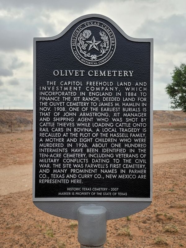
1. Olivet Cemetery Marker
The Capitol Freehold Land and Investment Company, which incorporated in England in 1884 to finance the XIT Ranch, deeded land for the Olivet Cemetery to James M. Hamlin in Nov. 1908. One of the earliest burials is that of John Armstrong, XIT manager and shipping agent who was shot by cattle thieves while loading cattle onto rail cars in Bovina. A local tragedy is recalled at the plot of the Hassell family, a mother and eight children who were murdered in 1926. About one hundred interments have been identified in the ten-acre cemetery, including veterans of military conflicts dating to the Civil War. The site was Farwell's first cemetery, and many prominent names in Parmer Co., Texas and Curry Co., New Mexico are represented here.
Marker is the property of the State of Texas
Erected 2007 by Texas Historical Commission. (Marker Number 14559.)
Topics. This historical marker is listed in this topic list: Cemeteries & Burial Sites. A significant historical month for this entry is October 1908.
Location. 34° 20.958′ N, 103° 2.62′ W. Marker is near Farwell, Texas, in Parmer County. It is on State Highway
this page online

Regionally, this marker is on the Texas Panhandle. It is also on the American Great Plains and specifically on the Southern Plains. Globally, it is in North America, a Gulf of Mexico state, the Western Hemisphere, the Western World, and the Anglosphere. Historically, it finds itself in what was once New Spain, the Comanchería, the Dust Bowl, the Republic of Texas, and one of the Confederate States of America.
Other nearby markers. At least 8 other markers are within 11 miles of this marker, measured as the crow flies: Hopping-Aldridge House (approx. 2.1 miles away); Near Route of the Coronado Expedition (approx. 2.4 miles away); Parmer County (approx. 2½ miles away); Farwell, Texas (approx. 2½ miles away); Oklahoma Lane (approx. 9 miles away); Curry County Veterans Memorial (approx. 10 miles away in New Mexico); Living Memorial (approx. 10 miles away in New Mexico); Norman Petty Studios (approx. 10.8 miles away in New Mexico). Touch for a list and map
Photographed by Allen Lowrey, May 24, 2021
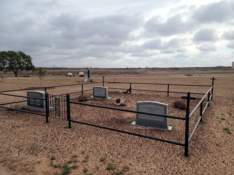
2. Hamlin Family gravestones
Another marker is no longer nearby. Clovis (was approx. 3½ miles away in New Mexico but has been confirmed missing).
Photographed by Allen Lowrey, May 24, 2021
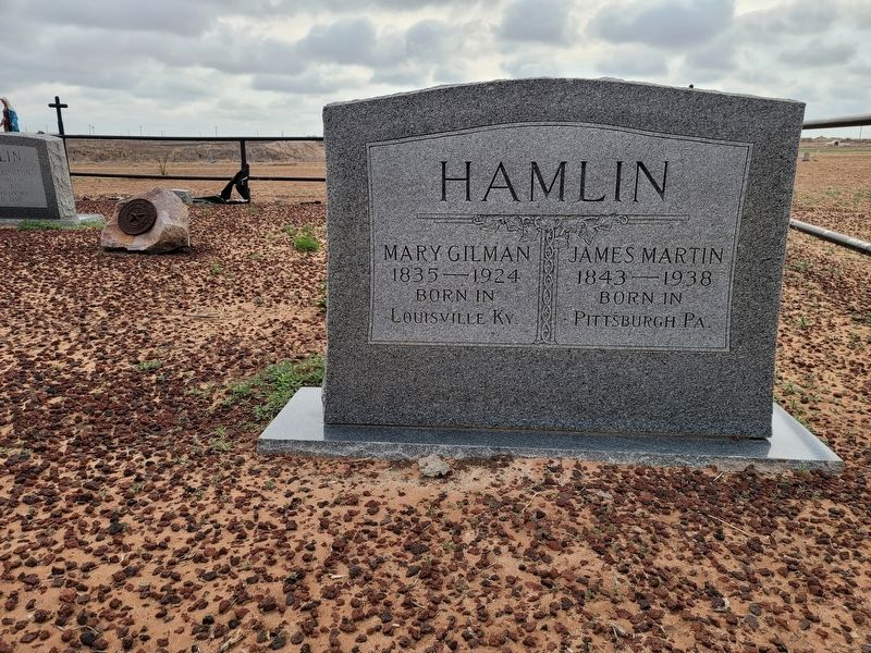
3. Hamlin Family gravestone
Credits. This page was last revised on August 17, 2026. It was originally submitted on May 27, 2021, by Allen Lowrey of Amarillo, Texas. This page has been viewed 462 times since then and 76 times this year. Last updated on August 15, 2026, by Joe Lotz of Flower Mound, Texas. Photos: 1, 2, 3. submitted on May 27, 2021, by Allen Lowrey of Amarillo, Texas. • Devry Becker Jones was the editor who published this page.
