Beaumont in Jefferson County, Texas — The American South (West South Central)
Travis Street Substation
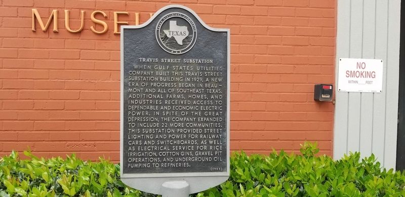
Photographed by Cajun Scrambler, April 28, 2021
1. Travis Street Substation Marker
When Gulf States Utilities Company built this Travis Street substation building in 1929, a new era of progress began in Beaumont and all of southeast Texas. Additional farms, homes, and industries received access to dependable and economic electric power. In spite of the Great Depression, the company expanded to include 22 more communities. This substation provided street lighting and power for railway cars and switchboards, as well as electrical service for rice irrigation, cotton gins, gravel pit operations, and underground oil pumping to refineries.
Erected 1983 by Texas Historical Commission. (Marker Number 10577.)
Topics. This historical marker is listed in this topic list: Industry & Commerce.
Location. 30° 5.14′ N, 94° 5.808′ W. Marker is in Beaumont, Texas, in Jefferson County. It can be reached from the intersection of Mulberry Street and Travis Street. Touch for map. Marker is at or near this postal address: 350 Pine Street, Beaumont TX 77701, United States of America. Touch for directions.

Regionally, this marker is in the Golden Triangle. It is also
this page online
Other nearby markers. At least 8 other markers are within walking distance of this marker: Sanders House (about 500 feet away, measured in a direct line); Noah Tevis (about 500 feet away); Central Fire Station (about 600 feet away); Enterprise-Journal (about 600 feet away); George O'Brien Millard (approx. 0.2 miles away); Westminster Presbyterian Church Of Beaumont (approx. 0.2 miles away); Young Women's Christian Association of Beaumont (approx. 0.2 miles away); First National Bank Building (approx. ¼ mile away). Touch for a list and map of all markers in Beaumont.
More about this marker. Building currently houses the Edison Museum of Beaumont.
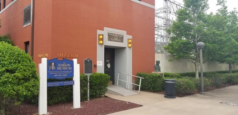
Photographed by Cajun Scrambler, April 28, 2021
2. Travis Street Substation Marker
Credits. This page was last revised on May 27, 2021. It was originally submitted on May 27, 2021, by Cajun Scrambler of Assumption, Louisiana. This page has been viewed 989 times since then and 121 times this year. Photos: 1, 2. submitted on May 27, 2021, by Cajun Scrambler of Assumption, Louisiana.
