Near Crawford in Dawes County, Nebraska — The American Midwest (Upper Plains)
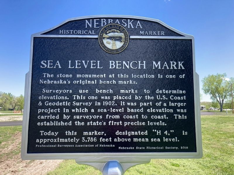
Sea Level Bench Mark
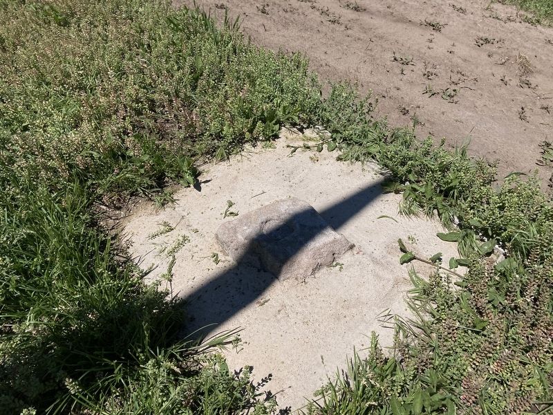
The stone monument at this location is one of Nebraska's original bench marks.
Surveyors use bench marks to determine elevations. This one was placed by the U.S. Coast & Geodetic Survey in 1902. It was part of a larger project in which a sea-level based elevation was carried by surveyors from coast to coast. This established the state's first precise levels.
Today this marker, designated “H 4,” is approximately 3,786 feet above mean sea level.
Erected 2018 by Professional Surveyors Association of Nebraska; Nebraska State Historical Society. (Marker Number 540.)
Topics and series. This historical marker is listed in these topic lists: Exploration • Landmarks • Natural Features. In addition, it is included in the Nebraska State Historical Society series list.
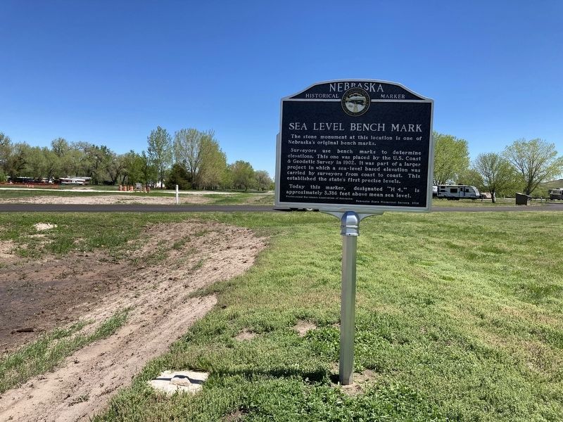
Location. 42° 39.794′ N, 103° 27.732′ W. Marker is near Crawford, Nebraska, in Dawes County. Marker is on Bridges to Buttes Byway (U.S. 20) 0.2 miles west of Soldier Creek Road, on the left when traveling west. The marker is located near the entrance to Red Cloud campground in Fort Robinson State Park. Touch for map. Marker is at or near this postal address: 3200 Bridges to Buttes Byway, Crawford NE 69339, United States of America. Touch for directions.
Other nearby markers. At least 8 other markers are within walking distance of this marker. The Flight of the Cheyennes (about 500 feet away, measured in a direct line); Cavalry Barracks/Cheyenne Outbreak (approx. 0.2 miles away); Adjuncts Office/Guardhouse (approx. 0.2 miles away); Crazy Horse (approx. 0.2 miles away); Fort Robinson and the Railroad (approx. ¼ mile away); Fort Robinson (approx. ¼ mile away); Officers’ Row, 1874-1875 (approx. ¼ mile away); K-9 Training Area (approx. ¼ mile away). Touch for a list and map of all markers in Crawford.
Credits. This page was last revised on May 16, 2023. It was originally submitted on May 28, 2021, by Connor Olson of Kewaskum, Wisconsin. This page has been viewed 467 times since then and 35 times this year. Last updated on May 14, 2023, by Jeff Leichsenring of Garland, Texas. Photos: 1, 2, 3. submitted on May 28, 2021, by Connor Olson of Kewaskum, Wisconsin. • J. Makali Bruton was the editor who published this page.


