Parkers Crossroads in Henderson County, Tennessee — The American South (East South Central)
Dibrell's Position
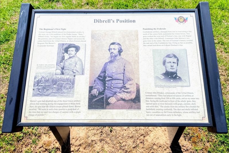
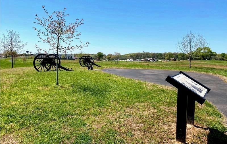
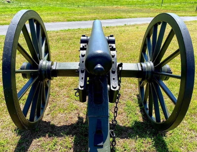
Colonel George Dibrell placed his dismounted cavalry in this area, on a rise southeast of the Parker house. "Here," Dibrell wrote, "we began our first regular battle as cavalry." His position, east of Colonel Alonzo Napier and across the cotton field from the 122nd Illinois, is where Forrest placed Sergeant Nat Baxter's 12-pounder howitzer.
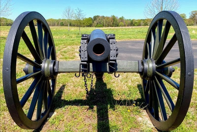
Baxter's gun had disabled one of the three Union artillery pieces that morning during the engagement at Hicks field. Now, his gun kept the Illinois troops pinned down. Baxter recalled, "We were at such close quarters a good deal of the time that we used two charges of canister with a single charge of powder."
Punishing the Federals
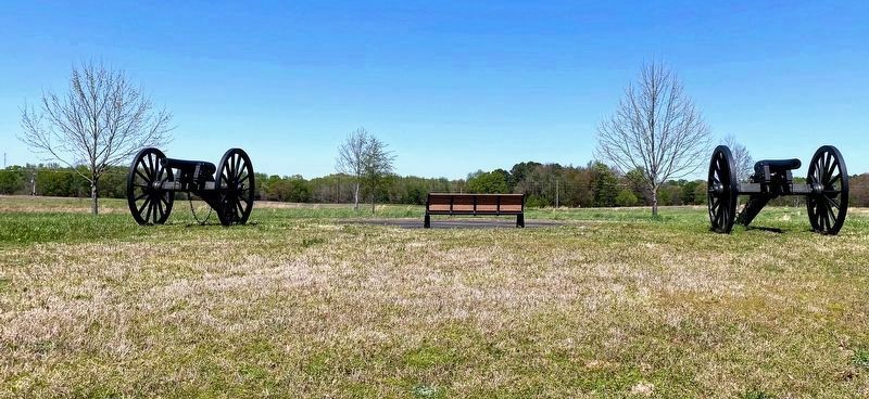
Confederate artillery, arranged from east to west along a line north of the cotton field, pummeled the Union forces. Two guns worked the west end of Forrest's line, one with Napier and the other with Dibrell. Lieutenant John Morton's two guns were in the center. The rest of Freeman's battery covered the east end of the Confederate line. Firing as fast as possible, they rained lead down on Colonel Dunham's line.
Colonel John Rinaker, commander of the 122nd Illinois, remembered: "They had placed ten pieces of artillery at distances varying from 300 to 600 yards, and as we came into line, facing the north and in front of the rebels' guns, they opened upon us most furiously with grape, canister, shell, and solid shot." The smoke from the artillery fire clouded the battlefield, creating confusion. The shot and shells inflicted heavy casualties on the Union defenders, whose artillery had run out of ammunition early in the fight.
(captions)
Stg. Nat Baxter, right, commanded a 12-pounder howitzer identical to that shown below at a Union encampment.
Col. George Dibrell, CSA.
Col. John Rinaker, 122nd Illinois Infantry
Erected 2015 by Parker's Crossroads Battlefield Association.
Topics. This historical marker is listed in this topic list: War, US Civil. A significant historical date for this entry is December 31, 1862.
Location. 35° 47.461′ N, 88° 23.138′ W. Marker is in Parkers Crossroads, Tennessee, in Henderson County. Marker can be reached from Wildersville Road, 0.2 miles Tennessee Route 22, on the right when traveling east. Marker is located along the North Battlefield Trail Extension, south of Wildersville Road. The North Battlefield Trail begins at the Parker's Crossroads City Park: Auto Tour Stop No. 1 of the Parker's Crossroads Battlefield Auto Tour. Touch for map. Marker is in this post office area: Wildersville TN 38388, United States of America. Touch for directions.
Other nearby markers. At least 8 other markers are within walking distance of this marker. Dunham Strikes Back (within shouting distance of this marker); Napier's Assault on the 39th Iowa (about 700 feet away, measured in a direct line); Forrest Seizes the Advantage (about 700 feet away); Forrest's Artillery Leads the Attack (about 800 feet away); A Panicked Stampede (approx. 0.2 miles away); 50th Indiana Infantry Regiment (approx. 0.2 miles away); Dunham Takes the Offensive (approx. 0.2 miles away); A Fire Terrible In Its Intensity (approx. 0.2 miles away). Touch for a list and map of all markers in Parkers Crossroads.
Also see . . . Parker's Crossroads Battlefield Association. (Submitted on June 4, 2021.)
Credits. This page was last revised on June 4, 2021. It was originally submitted on May 29, 2021, by Shane Oliver of Richmond, Virginia. This page has been viewed 104 times since then and 5 times this year. Photos: 1, 2, 3, 4, 5. submitted on May 29, 2021, by Shane Oliver of Richmond, Virginia. • Bernard Fisher was the editor who published this page.
